
Drone and Robot-Based Survey Solutions for the Oil and Gas Industry
Drone and robotic survey solutions for environmental compliance, subsurface investigation, and infrastructure inspection across upstream, midstream, and downstream in oil and gas assets.
- Methane surveys structured for OGMP 2.0 Level 3 reporting, with Level 4 capability depending on methodology
- UAV aeromagnetic surveys for subsurface mapping, exploration support, and directional drilling programs
- Bathymetry surveys for produced water ponds, industrial impoundments, and pipeline river crossings


UAV and Robotic Applications in the Oil and Gas Surveying
Pipeline and Facility Methane Leak Detection
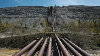
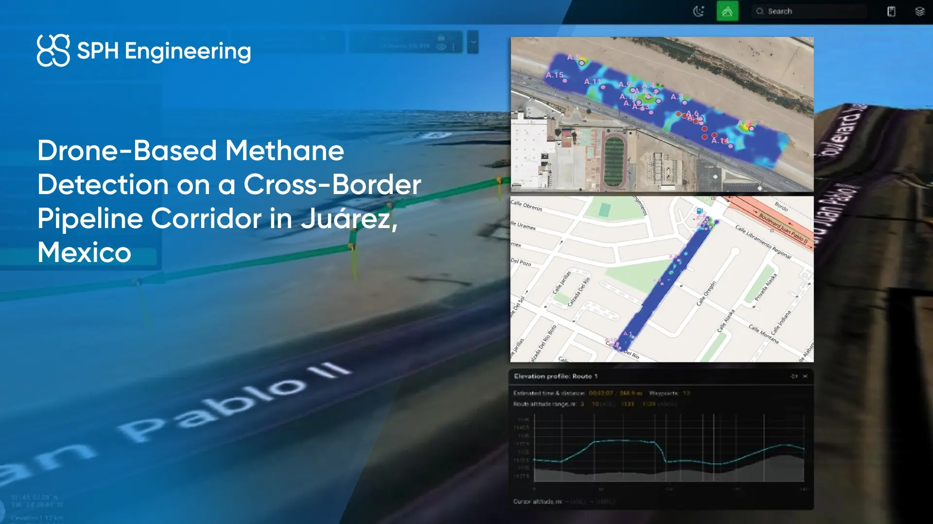
Drones and robot dogs equipped with methane sensors can inspect pipelines, wellheads, compressor stations, processing facilities, and distribution networks to detect fugitive gas leaks. These surveys help teams quickly identify leak locations across midstream and downstream infrastructure and, in some cases, estimate methane release rates.
Industrial Pond and Produced Water Monitoring
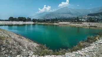
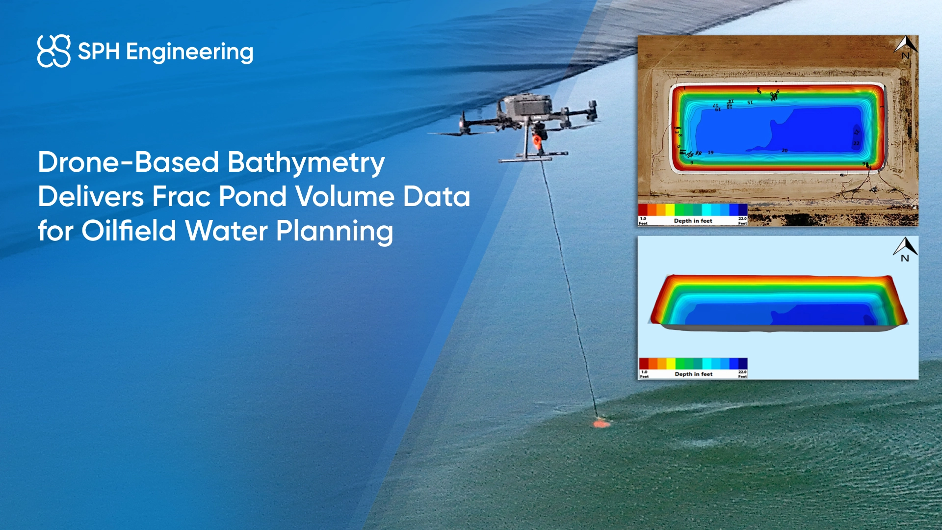
Active drilling operations generate large volumes of produced water stored in on-site pits and impoundments. Drone-deployed echo sounders measure water depth across these areas and at pipeline river crossings, tracking sediment build-up and remaining storage capacity over time. Regular surveys help operators stay ahead of capacity issues and support dredging decisions, maintenance planning, and operational reporting.
Abandoned Wells Detection
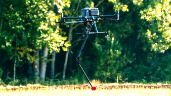
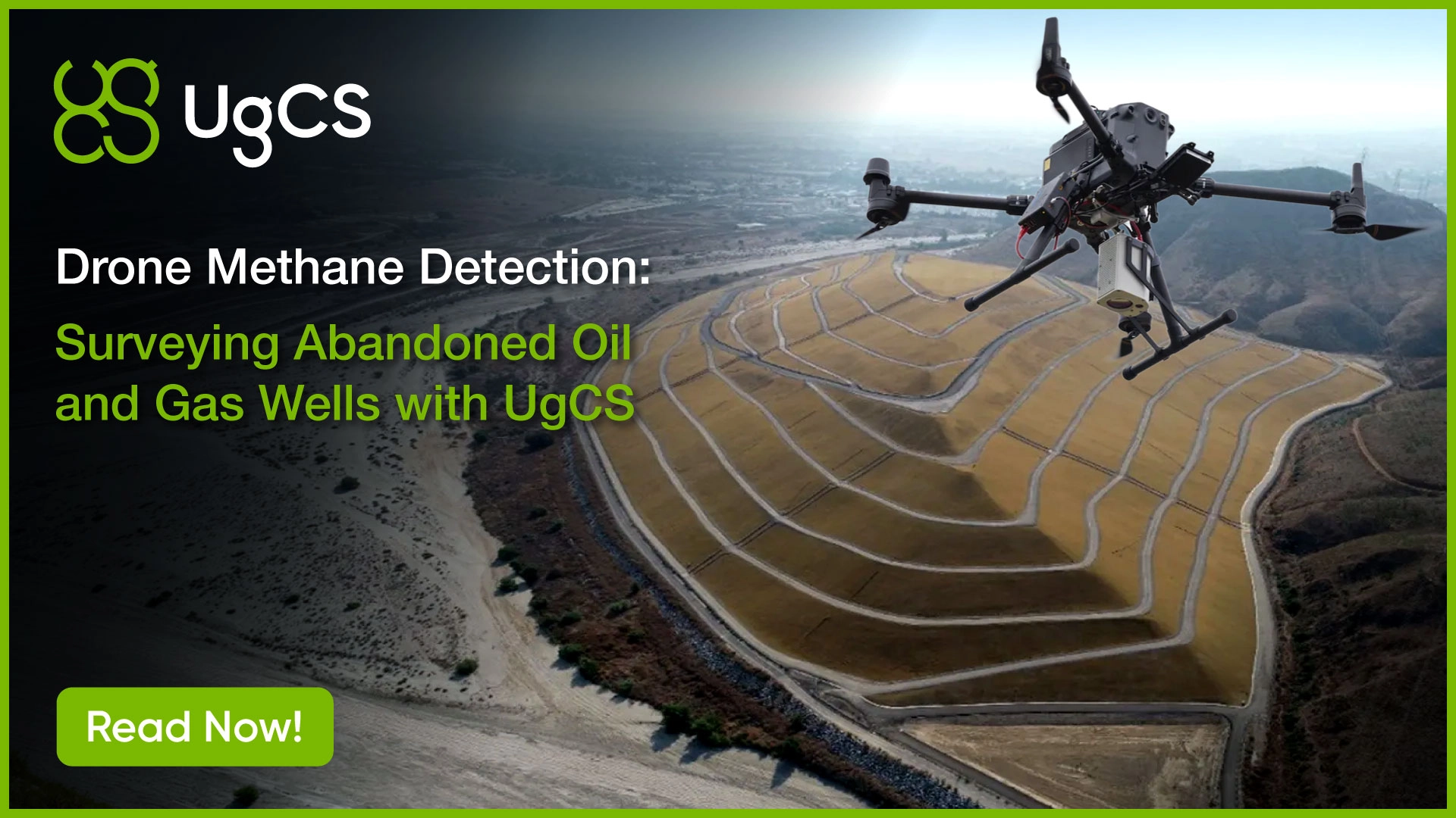
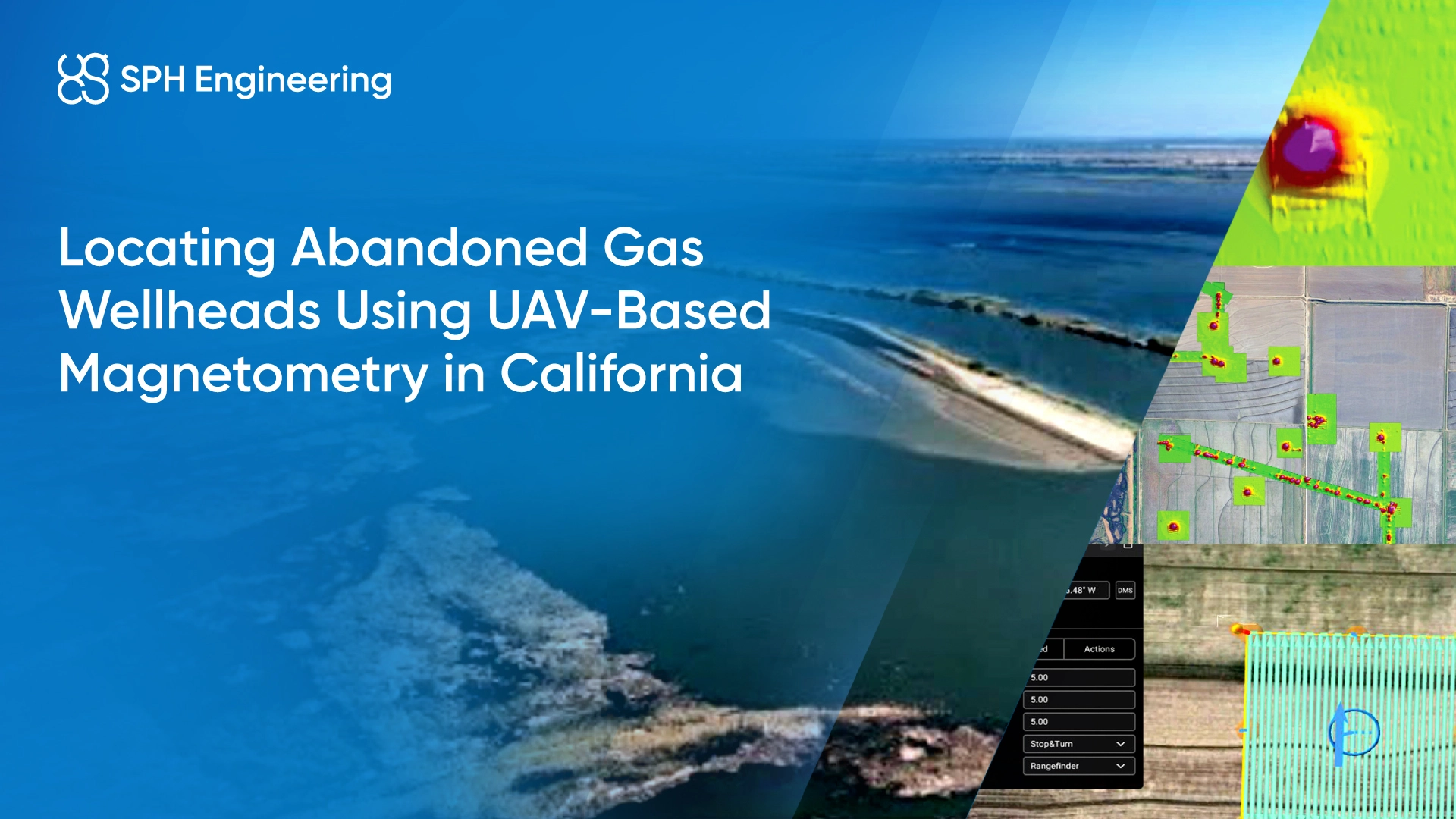
Mature oil and gas basins contain thousands of legacy and orphan wells with incomplete or missing records. These undocumented steel casings and well remnants can create risks during drilling, construction, or land transfer. Drone magnetometer surveys scan large areas to locate magnetic anomalies linked to this infrastructure, delivering georeferenced targets for field verification.

Aeromagnetic Surveys for Seismic and Gravity
Seismic acquisition alone does not always provide a complete picture of subsurface structure, particularly at the basement level. Drone-borne magnetometry flown alongside or ahead of seismic programs helps constrain geological models, map fault frameworks, and identify shallow geohazards.
Geomagnetic In-Field Referencing for Directional Drilling
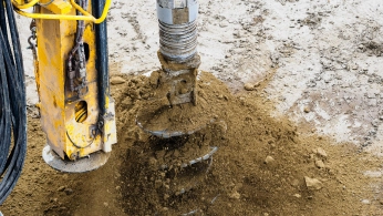
Directional wells can extend horizontally for several kilometers. The measurement-while-drilling (MWD) tool navigates by measuring the Earth's local magnetic field, but crustal anomalies and geomagnetic disturbances skew that reference, and azimuth errors compound over distance. A drone magnetometer survey flown over the drill site produces an In-Field Referencing (IFR) dataset that engineers use to correct the MWD magnetic inputs before and during drilling, keeping the wellbore on its planned trajectory.
Recommended Integrated Drone and Robotic Solutions for Oil and Gas Operations
Methane Detection Kit
HARDWARE
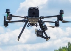
Drone and robot-mounted methane sensors, available in laser-based (TDLAS) and direct-sampling (sniffer) configurations, detect and localize fugitive emissions across pipeline corridors, wellheads, and industrial facilities.
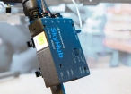
SkyHub is a drone onboard computer that ensures reliable sensor integration and precise, synchronized data collection during every flight.
SOFTWARE

Desktop drone flight planning for the most demanding pilots

Drone survey data management and GIS visualization platform
TRAINING

Advanced technical training and expert support to elevate your team’s expertise and ensure precise, efficient execution of your drone-mission tasks.
Magnetometer Kit
HARDWARE
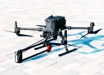
Drone magnetometers enable fast magnetic anomaly mapping for mineral exploration, UXO detection, and ferrous object localization over large areas.
SkyHub is a drone onboard computer that ensures reliable sensor integration and precise, synchronized data collection during every flight.
SOFTWARE
Desktop drone flight planning for the most demanding pilots.

Assess & process GPR and other sensor data.
Online GIS for Surveyors and Geophysicists.

Geophysical data processing and interpretation software.

Geophysical data processing and interpretation software (gravity/magnetics)
TRAINING
Advanced technical training and expert support to elevate your team’s expertise and ensure precise, efficient execution of your drone-mission tasks.
Echo Sounder Kit
HARDWARE
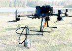
Drone-mounted echosounders provide accurate bathymetric data for depth measurement, sediment monitoring, and underwater terrain mapping.
SkyHub is a drone onboard computer that ensures reliable sensor integration and precise, synchronized data collection during every flight.
SOFTWARE
Desktop drone flight planning for the most demanding pilots.

Bathymetric data processing software.

Hydrographic survey mapping software.
TRAINING
Advanced technical training and expert support to elevate your team’s expertise and ensure precise, efficient execution of your drone-mission tasks.
.webp)


Why Choose SPH Engineering for Oil and Gas Drone and Robotic Surveys

Same-day results across large areas
Drone surveys cover remote wellfields and long pipeline rights-of-way faster than conventional ground crews, delivering actionable outputs the same day and reducing the window between identifying a problem and fixing it.

No shutdown required
SPH Engineering drone systems survey live operational assets including flare stacks and pressure vessels without halting production or triggering planned shutdown costs.

Regulatory-ready deliverables
Georeferenced concentration maps, depth grids, anomaly reports, and volume calculations come out ready for GIS integration, environmental and emissions-related regulatory submission, and asset management workflows.

Multi-payload platform
The same UAV supports methane detection, magnetometry, bathymetry, photogrammetry, and GPR surveys, reducing mobilization overhead across different programs.

Trusted by
SPH Engineering technologies are used by over 70 technology partners, leading universities, and research institutes.






%202.svg)
_black%201.svg)






.jpg)
