
Drone GPR for Glacier, Snow, and Cryospheric Research
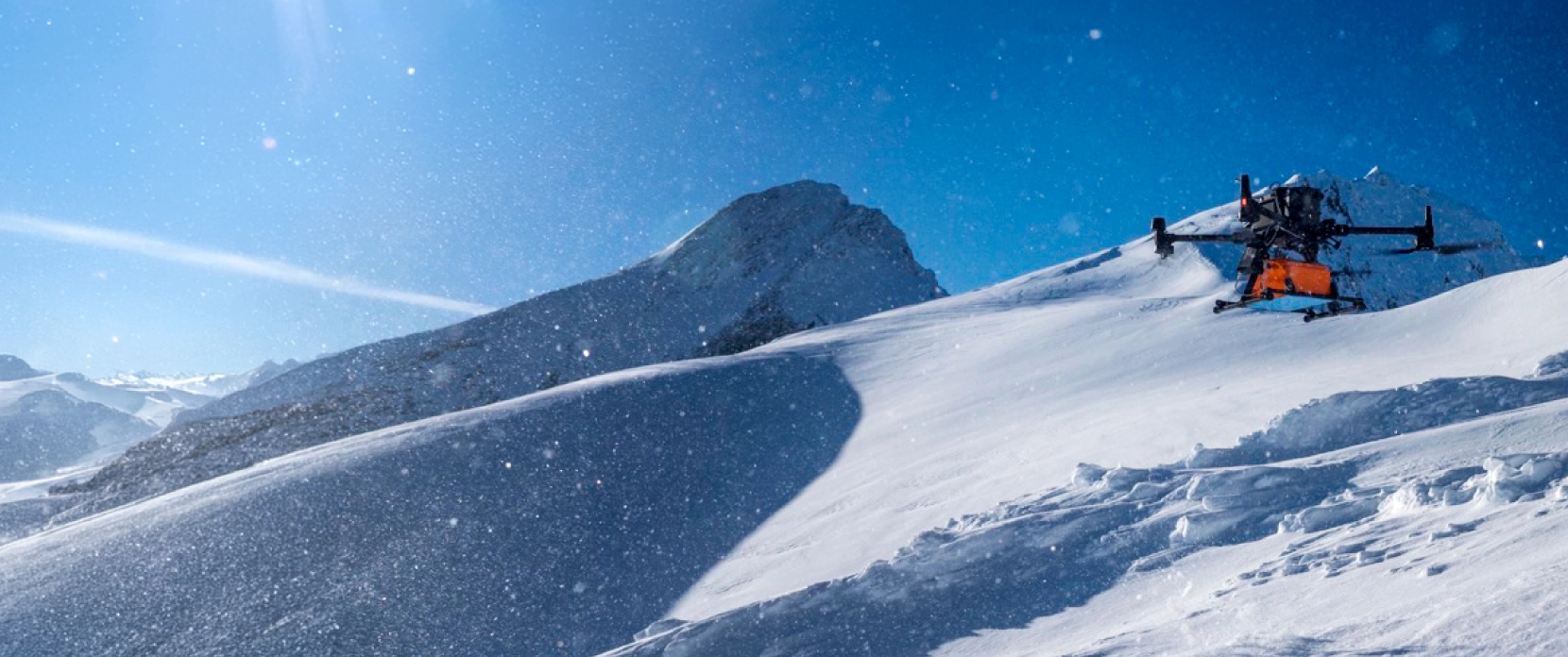
SPH Engineering's drone-mounted Ground-Penetrating Radar (GPR) enabled over 70 leading universities and research institutes worldwide to acquire high-resolution subsurface data across glaciers, snowpack, river and lake ice, permafrost, and debris-covered glaciers, without placing field crews in crevasse zones, avalanche-prone terrain, or on unstable ice.
SPH Engineering’s state of the art technology - automated flight planning combined with the True Terrain Following (TTF) system to help maintain consistent sensor altitude over uneven glacier and snow surfaces, producing repeatable, georeferenced datasets that meet the reproducibility standards expected by peer reviewers, grant funders, and international cryospheric monitoring frameworks.

Cryospheric Research Challenges Our Drone Solutions Solve
Climate-driven acceleration of glacier retreat, permafrost thaw, snowpack change, and sea ice decline are making cryospheric research more urgent: the field environments are becoming less predictable, and the demand for higher-cadence monitoring is rising faster than most methodologies can support. Drone-based GPR can address these constraints directly.

Field crews cannot safely access active glaciers, crevasse zones, and unstable ice
Traditional ground-based cryospheric surveys require researchers to walk across the ice or snow they are studying. On active glaciers this can mean crossing crevasse fields where openings may be hidden beneath snow bridges. On thin lake or sea ice this means load-bearing uncertainty at the very locations where thickness data is most needed. On avalanche-prone snowpack this means the risk of triggering the instability that the survey is designed to characterize. Drone-based GPR removes the crew from the hazard zone entirely: the sensor operates from the drone, the researcher works from a safe launch point, and the data is acquired without anyone standing on these hazardous areas.

Traditional methods provide only sparse point measurements
Snow pits, hand probes, borehole thermistors, and ground-based GPR transects all deliver point or line data at spatial density that constrains what researchers can conclude about spatial heterogeneity. Snowpack, glacier internal structure, permafrost active layer thickness, and ice thickness all can vary at the meter-to-decameter scale. Extrapolating from sparse ground measurements to spatially continuous conclusions introduces uncertainty that peer review increasingly flags as a methodological limitation. Drone GPR can deliver continuous line coverage at meter-scale line spacing, producing datasets that resolve the spatial variability more efficiently than many ground methods.

Reproducibility and defensible acquisition geometry are essential for peer review
Peer-reviewed publication in cryospheric research requires survey methodology to be described, replicated, and compared across studies. Manually flown or manually walked surveys produce datasets where the acquisition geometry (line spacing, altitude, orientation) varies between campaigns, which complicates statistical comparison and can compromise the defensibility of change detection results. Automated drone flight planning, particularly with True Terrain Following (TTF) that helps to maintain near-constant sensor-to-ground altitude over uneven ice, produces the identical acquisition geometry across repeat surveys that reproducibility requires.

Climate-driven cryospheric change accelerates the need for higher-cadence monitoring
Glacier retreat, permafrost thaw, snowpack decline, and sea ice loss are all accelerating relative to twentieth-century baselines. Research questions that once tolerated annual or decadal survey intervals now increasingly require monthly to seasonal cadence to capture short-term change. The Ruols et al. 2025 in The Cryosphere documented ice roof thinning from 9.6 to 3.0 meters over four months during summer 2022, a rate of change that annual surveys would have missed entirely. Traditional methods often do not scale as easily to this cadence; drone-based methods can help when site conditions allow.

Remote expedition logistics constrain field time and crew capacity
Cryospheric fieldwork routinely takes place in environments where each field day is expensive, weather windows are short, and every kilogram of equipment must justify its transport cost. Drone-based GPR compresses survey time substantially: the Otemma Glacier campaign at the University of Lausanne collected 112 line-kilometers of GPR data in four days, which would have taken significantly longer using ground-based methods. Shorter field campaigns can mean more surveys per expedition, more research per grant dollar, and reduced crew exposure to the environmental risks that remote fieldwork always carries.
Snow and Ice Research Applications Using Drone-Mounted GPR
Drone-mounted GPR is used across a broad range of cryospheric research, from snowpack characterization for water resources and avalanche research through glacier internal structure and mass-balance work, to sea and lake ice thickness monitoring, permafrost analysis, and detection of buried ice under debris cover. The applications below reflect the peer-reviewed research and documented case studies where the SPH Engineering GPR workflow has been deployed by university and institutional research teams.
Snowpack Depth, Layering, and Stability Assessment
Drone GPR maps snow depth, internal stratigraphy, layer boundaries, and water content across snowpack extents that ground methods cannot practically cover. Peer-reviewed methodology has been established for snow hydrology applications (Valence et al. 2022, The Cryosphere), and field campaigns at alpine sites including Kitzsteinhorn (Austria) have demonstrated the workflow at scale, with GPR data showing high correlation with conventional probe measurements. The same data supports downstream applications in avalanche risk assessment, water resource management for meltwater-fed catchments, and climate research on seasonal snowpack change.
Alpine and Polar Glacier Ice Thickness and Internal Structure
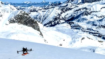
Drone GPR delivers total ice thickness, internal stratigraphy, and englacial structure data for alpine and polar glaciers, supporting mass balance reconstruction, cryospheric modeling, and 3D geometric characterization. The University of Lausanne's Otemma Glacier campaign acquired 112 line-kilometers of GPR data in four days, and the Rhône Glacier work (Ruols et al. 2025, The Cryosphere) established peer-reviewed methodology for 3D and 4D surveying of alpine glaciers with drone GPR. These datasets feed directly into WGMS-compatible mass balance reporting and into local- and regional-scale glacier evolution modeling.
Sea Ice and Lake Ice Thickness Monitoring
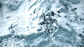
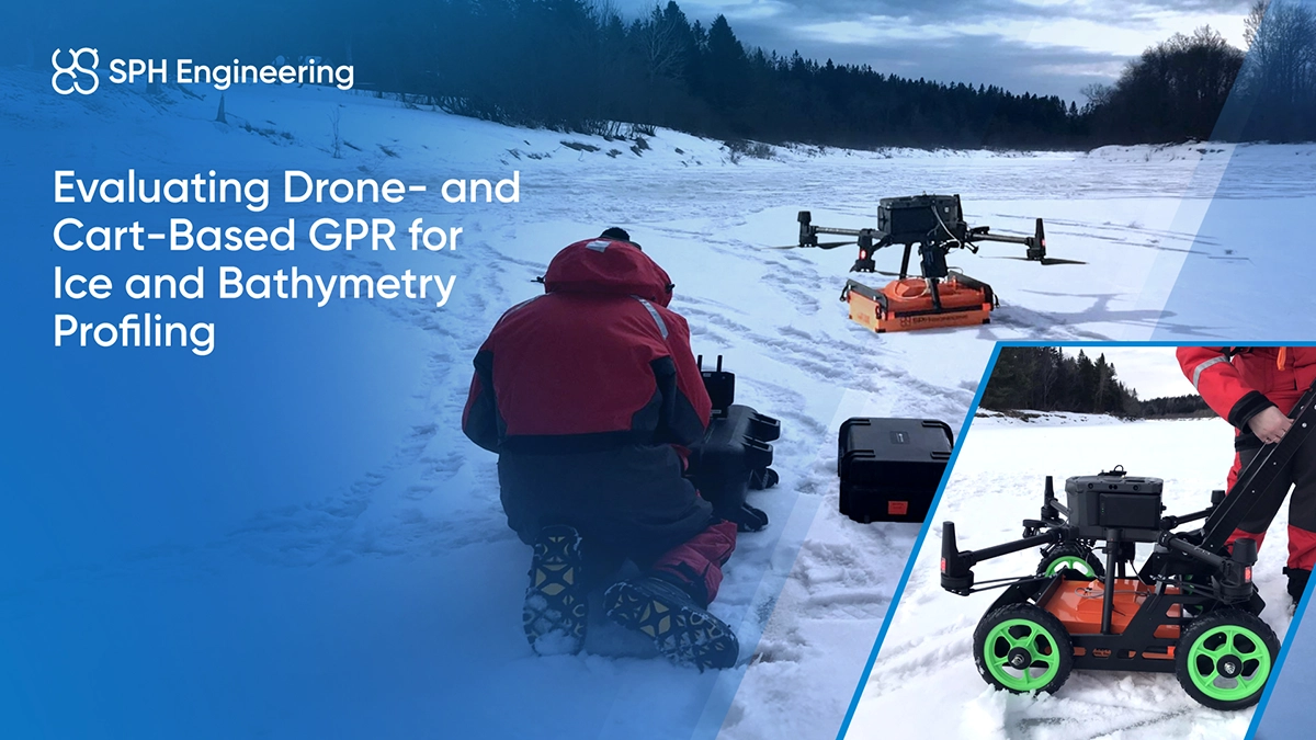
Drone-borne GPR can map ice thickness across lake, river and some sea-ice settings where salinity and surface conditions allow, supporting climate research, transport safety assessment for winter ice roads, and hydrological modeling for ice-covered water bodies. Meng et al. 2025 in Water Resources Research documented a lightweight drone-borne GPR system for high-resolution ice thickness monitoring, with automated thickness estimation methodology. The Université de Sherbrooke work compared drone and cart-mounted GPR over a frozen river to support flood modeling applications. The method removes the risk of ground-crew access to potentially unstable ice while producing continuous ice thickness maps.
Permafrost and Active Layer Characterization
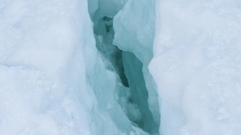
Drone GPR can map active layer thickness, permafrost table depth, ground ice content, and shallow subsurface structure across permafrost terrain. This supports climate change research on permafrost degradation, engineering assessments for Arctic and sub-Arctic infrastructure, and characterization of periglacial features. Peer-reviewed literature (Tjoelker et al. 2024 in Remote Sensing on drone GPR for buried ice detection) establishes the methodology, and drone deployment overcomes the ground-access constraints that make traditional permafrost surveys logistically expensive.
Rock Glaciers and Debris-Covered Glacier Ice Detection
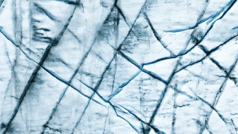
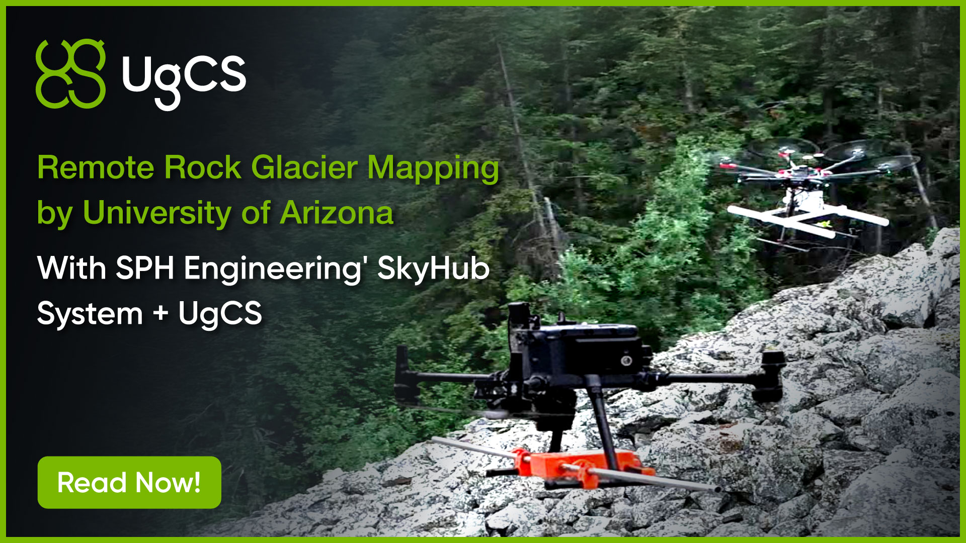
Rock glaciers and debris-covered glaciers hide their ice content beneath surface debris cover, which makes them among the more difficult targets for both remote sensing and traditional ground survey. Drone GPR can penetrate debris cover to characterize the ice beneath, with methodology documented at Shár Shaw Tagà Valley (Tjoelker et al. 2024, Remote Sensing) and at multiple rock glacier sites through the University of Arizona work at Sourdough (Alaska) and Galena Creek (Wyoming). This is a fast-growing subfield of cryospheric research as climate change accelerates the exposure and degradation of previously buried ice.
Subglacial Features, Cavities, and Meltwater Channels
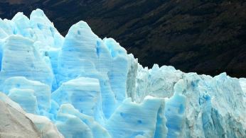
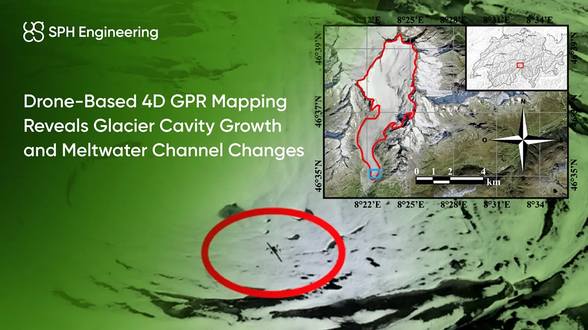
Subglacial cavities, meltwater channels, englacial features, and evolving collapse structures require both spatial resolution and temporal repeatability to characterize. The Rhône Glacier work established 4D (3D-over-time) monitoring of a subglacial cavity using four repeat surveys between July and October 2022, documenting ice roof thinning from 9.6 m to 3.0 m and cavity height expansion from 15.9 m to 18.4 m. This kind of high-cadence subglacial monitoring is difficult to achieve with conventional ground-based approaches, and drone GPR is one practical way to acquire it at site scale.
Recommended Solutions
GPR Kit
HARDWARE
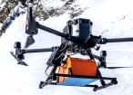
Drone-based GPR system enables non-contact subsurface mapping of glaciers, buried utilities, and voids in areas inaccessible or unsafe for ground surveys.
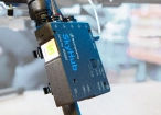
SkyHub is a drone onboard computer that ensures reliable sensor integration and precise, synchronized data collection during every flight.
SOFTWARE

Desktop drone flight planning for the most demanding pilots.

Radsys GPR data processing software for Zond GPRs.

Assess & process GPR and other sensor data.
TRAINING

Advanced technical training and expert support to elevate your team’s expertise and ensure precise, efficient execution of your drone-mission tasks.


Why Cryospheric Research Teams Choose Our Solution

Peer-reviewed methodology with documented publications
The drone-based cryospheric GPR workflow is documented in peer-reviewed literature (Ruols et al. 2025 in Journal of Glaciology; Valence et al. 2022 in The Cryosphere; Tjoelker et al. 2024 in Remote Sensing; Meng et al. 2025 in Water Resources Research) using SPH Engineering hardware and software. This methodological documentation supports peer-review defensibility and provides direct methodological references for new research groups adopting the workflow.

True Terrain Following for consistent radar coupling over uneven ice
Cryospheric GPR data quality depends heavily on maintaining a consistent sensor-to-ground altitude. Over rough alpine glacier surfaces, crevasse fields, moraines, and undulating snowpack, manual altitude control can produce variable coupling and data quality. SPH Engineering's True Terrain Following (TTF) uses radar or laser altimeter feedback to help hold the sensor at constant altitude above ground level even over highly variable terrain, which supports practical 3D and 4D cryospheric GPR data acquisition.

Reduced crew exposure to cryospheric hazards
Drone-based GPR reduces the need for researchers to enter crevasse zones, unstable ice, avalanche-prone slopes, and thin lake or sea ice at the sites where subsurface data is most needed. This is not a marginal safety improvement; it changes what surveys are practical to conduct at all. Field campaigns that would previously have required roped teams, extensive safety protocols, and constrained operating envelopes can now be conducted with a small crew working from a safe launch position.

Repeatable acquisition geometry for time-series and 4D research
Automated UgCS flight planning with TTF produces highly repeatable acquisition geometry across repeat surveys. This is the technical foundation for 4D (3D-over-time) cryospheric monitoring, statistically defensible change detection, and long-term monitoring that can support WMO, WGMS, and IPCC reporting frameworks. The Rhône Glacier 4D methodology and the Otemma Glacier repeat-survey framework both demonstrate this capability at the research-program scale.

Documented operational track record in demanding cold environments
The workflow has been deployed successfully across a range of demanding cryospheric environments: alpine glaciers in the Swiss Alps and Austrian Alps, sub-Arctic permafrost and rock glaciers in Alaska, Wyoming, and the Yukon, frozen lakes and rivers in Quebec, and multiple additional sites through the wider SPH research customer base. This operational track record reduces the risk that comes with adopting a new methodology for the first time.

Trusted by
SPH Engineering technologies are used by over 70 leading universities, research institutes, and technology partners.






%202.svg)
_black%201.svg)





Watch Our Technical Webinars


Your Questions About Drone-Based Cryospheric Research
What depths can drone GPR reach in ice and snow?
GPR penetration in the cryosphere depends on the antenna frequency and the material properties. In clean, low-conductivity glacier ice penetration of hundreds of meters can be achievable with lower-frequency antennas, especially around 50 MHz, although performance depends on ice temperature, impurities, water content, antenna coupling, and data processing.
In snow, dry conditions support meters-to-tens-of-meters penetration; wet snow reduces this significantly. In sea ice, lake ice, and permafrost active layers, penetration is typically in the meters range with higher-frequency antennas. Specific penetration for your target site should be scoped with the SPH technical team during project setup. Learn how deep drone GPR penetrates in different materials >>>
What resolution can drone GPR achieve?
Vertical resolution scales with frequency: higher-frequency antennas resolve finer layers at shallower depths, while lower-frequency antennas resolve coarser features at greater depths. Lateral resolution depends on line spacing, flight altitude, antenna footprint, positioning accuracy, and TTF-enabled altitude consistency.
The Rhône Glacier work used 1 m line spacing at 5 m altitude; the Kitzsteinhorn snowpack work used UAV-borne GPR flown at a 5 m above the snow surface.
For your specific resolution requirements, the frequency and grid spacing should be scoped with the SPH technical team.
Does drone GPR replace ground-based methods?
Drone and ground GPR are usually used together rather than in competition. Ground or cart-mounted GPR remains valuable for detailed high-resolution work on limited-area targets, for validation of drone GPR interpretations, and for sites where drone operation is not permitted or practical. Drone GPR expands what is practical: it covers more area, reaches hazardous terrain, and supports 3D and 4D geometries that ground methods cannot achieve efficiently. The Université de Sherbrooke frozen river study specifically compared drone and cart-mounted deployment on the same site to support this kind of combined use.
What is True Terrain Following and why does it matter for cryospheric work?
True Terrain Following (TTF) is SPH Engineering's radar- or laser-altimeter-based system that helps maintain constant sensor-to-ground altitude even over highly variable terrain. Over glacier surfaces with crevasses, seracs, moraines, and undulating topography, or over snowpack with drift and cornice geometry, or over rock glaciers with irregular debris surfaces, holding the GPR sensor at consistent altitude is essential for consistent radar coupling and data quality. TTF is what makes 3D and 4D cryospheric GPR practical, and it is explicitly credited in the Ruols et al. 2023 peer-reviewed methodology.