
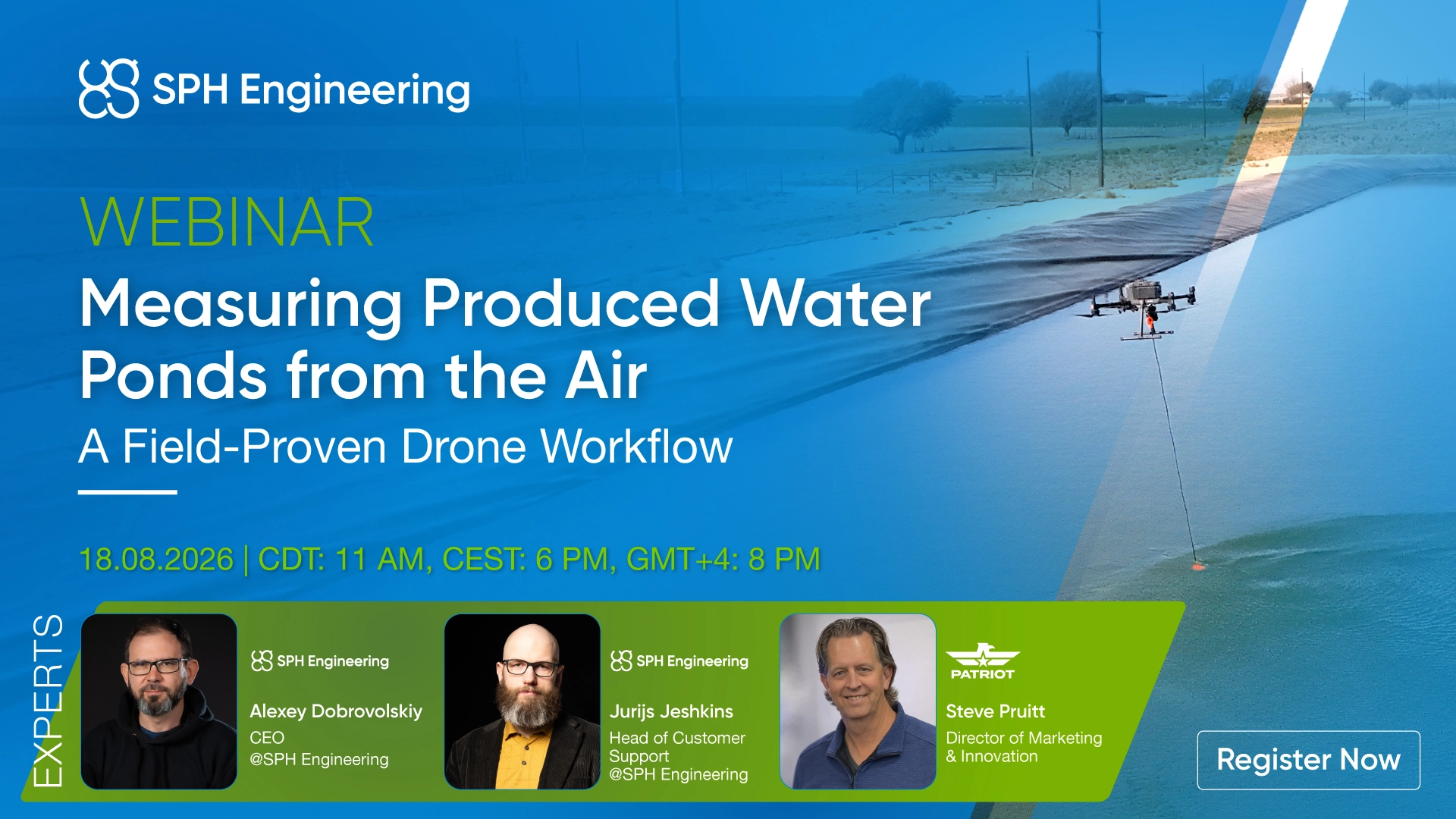
Crews stay off the water while the survey produces depth maps, 3D pond models, and volumetric strap charts that operators can act on. Patriot Environmental shares results from the field, including a recent frac pond survey in the Permian Basin. SPH Engineering explains how the system works, from mission planning to final deliverables.
What you will learn
- Why operators are moving produced water and frac pond surveys from boats to drones
- How a drone-mounted echo sounder measures pond depth and remaining capacity
- What a survey delivers: a depth map, a 3D pond model, and a volumetric strap chart
- Where drone bathymetry fits into water planning, dredging decisions, and reporting
Speakers
- Steve Pruitt, Director of Marketing and Innovation, Patriot Environmental
- Alexey Dobrovolskiy, CEO, SPH Engineering
- Jurijs Jeshkins, Support Lead, SPH Engineering