
Drone methane detection at abandoned oil and gas wells is the practice of flying a methane-sensing payload on a low-altitude grid to identify zones of statistically anomalous emissions for ground-crew follow-up. When we covered this story in March, it was a preprint - promising but not yet peer-reviewed. That changed on 2 April 2026, when the paper by William Hoyt Thomas and Caixia Wang from the University of Alaska Anchorage was published in Sensors, an international peer-reviewed journal. The methodology has now been independently validated. That matters if you're a state agency trying to justify drone-based methane surveys to a budget committee, or a contractor proposing this approach to an environmental client.
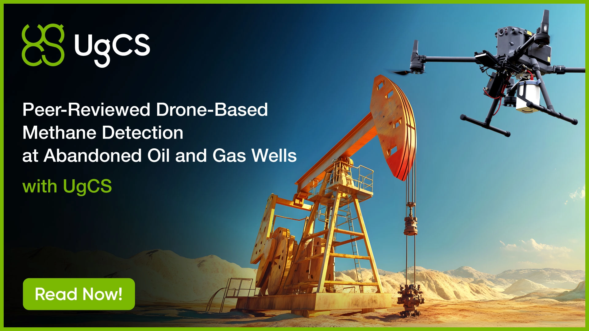
The system is the same as before: a DJI Matrice 300 RTK (real-time kinematic positioning), a Pergam Laser Falcon methane sensor, a SkyHub onboard computer, and UgCS desktop software for mission planning. What the published version adds is more detail on how the flights actually worked, what the data showed across multiple visits, and where the limits of the method are.
Key Takeaways
- Peer-reviewed publication in Sensors (MDPI), 2 April 2026, by Thomas and Wang at the University of Alaska Anchorage validates the drone methane detection methodology our February article covered in preprint form.
- Ten flights across three visits over three abandoned wells in Houston, Alaska. Surveys flown at 20 m and 25 m AGL on a DJI Matrice 300 RTK, with the second visit conducted while plugging crews were on site.
- Tech stack: Pergam Laser Falcon methane sensor, SkyHub onboard computer, UgCS desktop mission planning. SkyHub timestamps and geo-tags every reading at capture, which keeps the spatial clustering analysis valid at 2 m/s flight speed.
- The method identifies statistically anomalous methane zones. It does not assign emissions to a specific well and does not produce an emissions rate. Ground verification remains required.
- Policy context: $4.675 billion in Bipartisan Infrastructure Law funding is being deployed across 28 states for well plugging. This is the first peer-reviewed drone methodology that ranks sites by active emissions rather than by infrastructure presence.
Three Real Wells. Ten Real Flights.
The field work happened at a site in Houston, Alaska, a small town about 70 km north of Anchorage. Three abandoned oil and gas wells, close enough together to survey in a single flight, but different enough to make the work genuinely hard.
Well 1 sat in open ground next to a busy highway. Well 2 and Well 3 were both buried in a wooded patch, surrounded by trees. With a laser sensor that measures methane in the column of air between the drone and the ground, trees are a problem. Canopy interrupts the laser path and creates variability in the readings. The team had to account for that in how they planned each flight.
The surveys covered three separate visits. The first two happened before remediation crews arrived. The third happened while plugging work was underway. Each visit included two flights: one at 25 meters above ground covering all three wells, one at 20 meters focused on Well 1, where the open ground made a lower altitude feasible. Ten flights in total.
That structure was deliberate. A single flight over a methane site tells you less than you think. Wind changes. A gust from a passing truck on the highway can disrupt the plume pattern. The team designed for repetition, comparing results across visits and across altitudes to separate real signals from noise.
Flying Low Is the Job. UgCS Makes It Repeatable.
Methane disperses quickly above the surface. The lower the drone flies the cleaner the detection signal. At 32 meters, readings are weaker. At 17 meters, you get a much stronger signal, but you need to know the terrain and obstacles well enough to fly that low safely.
Before each visit, the team walked the site with a forestry rangefinder to measure obstacle heights, the same tool utility crews use to measure how far a tree hangs above a power line. That information went into UgCS to define the safe flight height for each part of the survey.
With the methane sensor mounted on the underside of the M300, the drone's downward obstacle-avoidance sensors were blocked. The team switched them off and handled takeoff and landing manually. Once in the air, the drone was launched on the automated flight path done in UgCS. Speed was set to 2 m/s and line spacing to 2 m.
With the payload attached the M300 flight time dropped from 55 minutes to about 35. When one set of batteries was depleted, the team paused the mission in UgCS, returned the drone for battery swap and resumed from the exact waypoint where it stopped. No overlap, no gap in the data. That matters because the statistical analysis the paper uses, testing whether elevated methane readings cluster spatially rather than scatter randomly, requires a clean, contiguous grid to work.
The Role of SkyHub in a Drone Methane Survey
SkyHub serves as the bridge between the sensor and the drone`s autopilot. Every methane reading the Laser Falcon takes is timestamped and geotagged at the moment of capture. At 2 m/s, the drone travels one meter every half second. A timing error of that size puts the coordinate one meter off, which is the same as the spacing between flight lines.
What the Method Tells You, and What It Doesn't
The peer-reviewed version is more careful than the preprint about what the methodology actually proves. The drone survey identifies areas with statistically anomalous methane concentrations. It does not tell you which specific well is the source, and it cannot give you an emissions rate. A clustered high-methane zone near a known well is consistent with that well leaking, but ground verification is still required.
The team also flagged wind as an honest confounding factor. The Well 1 area, right next to a highway, was affected by gusts from passing vehicles during one of the surveys, which disrupted the statistical signal enough that the test returned inconclusive for that flight. Repeat surveys under different conditions resolved the ambiguity.
Why Drone Methane Detection Matters for State Plugging Programs
The $4.675 billion from the Bipartisan Infrastructure Law is being spent across 28 states right now. Most of that money goes toward plugging wells, but you can't prioritize plugging without knowing which wells are actively releasing methane. Traditional magnetic surveys are used to find well casings. However, from the magnetic data alone, it is not possible to tell whether a capped well is leaking or not, and it fails entirely on wells without metal components.
A drone-based methane survey approaches the problem differently. Used alongside magnetometry or well location records, it gives remediation programs a way to rank sites by environmental risk rather than proximity or administrative record status.
The UAA paper is the first peer-reviewed demonstration of this approach at real abandoned well sites under field conditions. State agencies and contractors who want to propose it to clients or regulators now have a published methodology to cite.
Read Part 1: Drone Methane Detection for Abandoned Oil and Gas Wells
Source paper: Thomas & Wang (2026). Sensors, 26(7), 2205.https://doi.org/10.3390/s26072205
About UgCS: UgCS drone mission planning software
About SkyHub: SkyHub onboard computer for sensor integration