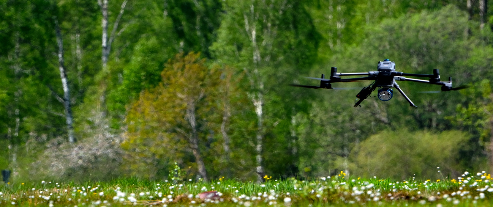
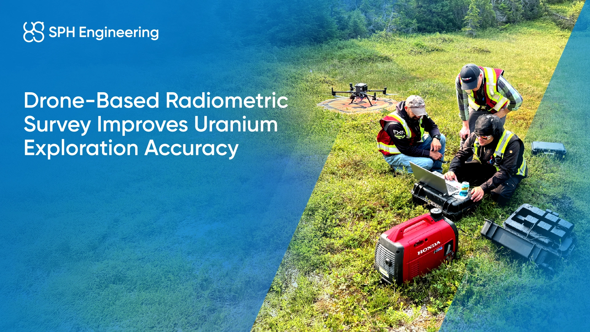
Drone-Based Radiometric Mapping and Surface Geochemistry for Mining
SPH Engineering's drone-integrated gamma-ray spectrometry solution maps natural gamma radiation associated with potassium, uranium, cesium, and thorium radio nuclides across the near-surface soil and rock layer, supporting uranium exploration, lithological discrimination, alteration mapping, and legacy mine waste characterisation.
Challenges in Radiometric Mapping and Surface Geochemistry
Radiometric data are one of the most useful early-stage indicators in mineral exploration and a critical input for environmental, reclamation, and critical-minerals characterisation programmes. Acquiring and processing these datasets, however, involves a chain of technical, operational, and environmental challenges that shape both data quality and project economics. The challenges below reflect what practitioners and processing specialists actually wrestle with, not a simplified picture.

Helicopter and fixed-wing surveys lack the resolution for fine-scale targets
Conventional crewed airborne radiometric surveys are typically flown at altitudes of 100 to 200 m, with line spacing of 50 to 400 m and ground speeds of tens of meters per second. Some crewed fixed-wing radiometric datasets may be unable to resolve geologic features smaller than about 100 m. This produces broad regional coverage but smooths out fine-scale anomalies that matter for prospect ranking, follow-up drilling, and detailed characterisation of small targets such as mine waste features.

Ground surveys are slow, access-limited, and expose crews to terrain hazards
Walking surveys with handheld gamma-ray spectrometers deliver high resolution at points but are slow, expose crews to hazardous terrain, and rarely produce continuous coverage of large prospect areas. In remote, forested, mountainous, or steep environments, ground access alone can dominate project timelines and budget.

Environmental factors attenuate and distort the gamma-ray signal
Radiometric measurement is fundamentally a remote-sensing technique: gamma rays must travel through air, vegetation, and any non-radioactive overburden before reaching the detector. Soil moisture, rainfall, dense vegetation, rugged terrain (which causes altitude variations), and atmospheric conditions all affect the measured signal in ways that must be corrected during processing. Without appropriate corrections, environmental factors can mask real geological variability or create misleading anomalies.

Penetration is shallow and signal sources must be near-surface
Gamma-ray spectrometry samples the upper 30 to 50 cm of soil or rock, because gamma radiation is strongly attenuated by soil, water, and cover material. This means radioactive elements or their daughter products must occur in outcrop or near-surface for the method to detect them. The technique is also generally unsuitable over open water and can be strongly limited where ice, standing water, or thick saturated cover attenuates the signal beyond useful limits. For deeply buried mineralisation under thick non-radioactive overburden, radiometric surveys alone are insufficient and need to be combined with other methods.

Legacy mine waste characterisation requirements
Increasing demand for critical minerals has driven new interest in characterising mine waste and tailings as potential secondary resources, alongside ongoing requirements for environmental and radiological characterisation. Drone-based radiometric surveys have been documented in peer-reviewed literature as effective for mapping radiometric variability across mine waste features, including mapped zones about 2 to 10 m wide where K, Th, and U were reported as potentially 2 to 10 times higher than surrounding material.
UAV Radiometric and Surface Geochemistry Applications in Mining
Drone-based gamma-ray spectrometry maps the near surface radioelement signal emitted from the upper approximately 50 cm of the ground surface, supporting a range of mining workflows from early-stage exploration through to closure documentation. Outputs include georeferenced maps of K, equivalent uranium (eU), equivalent thorium (eTh) concentration estimates and total count, plus derived surface geochemical proxy products via validated processing models.
Uranium Exploration and Prospect Ranking
Measurement of gamma emissions from U-238 daughter products, reported as equivalent uranium (eU), supports identification of uranium prospects, ranking of anomalies for follow-up, and refinement of geological models prior to drilling. Drone-based campaigns can survey areas at significantly higher spatial resolution than legacy helicopter datasets, enabling identification of anomalies and structural patterns that previous campaigns missed.

Lithological Discrimination
Different rock types carry different ratios of K, eU, and eTh. Felsic igneous and high-grade metamorphic rocks typically show elevated U, Th, and K from accessory minerals such as zircon, monazite, apatite, and titanite. Sedimentary rocks generally show lower eU and eTh, although local enrichment can occur. Drone-based radiometric maps support lithological discrimination across exploration targets, mine sites, and reclamation areas where surface geology is poorly mapped.
Hydrothermal Alteration Zone Mapping
Hydrothermal alteration associated with mineralisation often produces measurable shifts in the K, eU, eTh signature. Ratio mapping (K/eTh, eU/eTh, K/eU) is a well-established technique for highlighting potassium enrichment associated with potassic and sericitic alteration, supporting target generation in volcanogenic massive sulphide (VMS), porphyry Cu-Au-(Mo), epithermal, and other hydrothermal systems.
Surface Geochemistry
Beyond direct radioelement concentration estimates, gamma-ray data feed into statistical models that estimate soil texture (clay and sand content), cation exchange capacity, soil moisture, and radiological or geochemical contamination indicators. These products are used in environmental baseline studies, reclamation design, and surface geochemical interpretation.
Legacy Mine Waste and Tailings Characterisation
Active and legacy mine sites accumulate waste rock and tailings that often contain anomalous concentrations of by-product critical elements and associated contaminants (REEs, As, Bi, Te, F, Zn, and others) alongside elevated natural radionuclides. Drone-based radiometric mapping has been documented to detect and map zones 2 to 10 m wide where K, Th, and U may be elevated 2 to 10 times above surrounding material, supporting both critical mineral resource evaluation and environmental characterisation. The growing interest in tailings reprocessing for critical minerals (driven by USGS Earth MRI, EU Critical Raw Materials Act, and similar programmes) is creating new use cases for high-resolution radiometric data.

Recommended Solutions
HARDWARE
Advanced airborne systems designed for accurate radiation and elemental mapping. Enables efficient and safe data acquisition across complex or hazardous terrains.
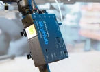
SkyHub is a drone onboard computer that ensures reliable sensor integration and precise, synchronized data collection during every flight.
SOFTWARE

Desktop drone flight planning for the most demanding pilots.

Radiometric data processing suite for Medusa Radiometrics hardware.

Assess & process GPR and other sensor data.
TRAINING

Advanced technical training and expert support to elevate your team’s expertise and ensure precise, efficient execution of your drone-mission tasks.
Why Mining and Exploration Teams Choose Our Radiometric Solution

Higher resolution than helicopter surveys
Drone-borne radiometric surveys typically fly at much lower altitudes than crewed aircraft and at slower ground speeds, producing significantly higher spatial resolution. Crewed fixed-wing radiometric methods have been documented as unable to resolve features smaller than 100 m, while drone-based surveys have detected zones 2 m large spots.

Repeatable acquisition geometry for high-resolution monitoring
Automated flight planning in UgCS produces consistent flight paths, altitude profiles, and overlap on every revisit. Controlled acquisition geometry supports comparable results between surveys and aligns with acquisition-control principles used in airborne radiometric mapping programmes such as the USGS Earth Mapping Resources Initiative (Earth MRI) and similar national programmes. The same geometry control supports legacy mine waste characterisation, reclamation surface monitoring, and exploration prospect revisits where comparable datasets are required.

Sensor sizing matched to drone class
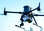
Medusa sensors (MS-350, MS-700, MS-1000) provide options across drone classes and sensitivity requirements. The MS-350 weighs 2.7 kg with a 350 mL CsI scintillator and integrates with medium-sized drones such as the DJI M350/M300 RTK. Larger sensors (MS-700 at 4.7 kg with 700 mL Csl crystal, MS-1000 at 6.7 kg with a 1000 mL Csl crystal) deliver higher sensitivity for more demanding targets where signal-to-noise is critical.

Multi-sensor compatibility with the same platform
The same UAV platform can support gamma-ray spectrometry, magnetometry, GPR, methane detection, photogrammetry, LiDAR, and bathymetric surveys by swapping payloads between missions. This supports combined exploration campaigns covering radiometric, magnetic, and structural data at one site without remobilising a different drone fleet.

Integrated flight, acquisition, and processing workflow
UgCS, SkyHub, Medusa sensors, and GammAn are integrated through standard data interfaces, supporting a workflow from mission planning through to processed concentration maps. Operators benefit from consistent acquisition geometry from UgCS, real-time monitoring through SkyHub, and full spectrum analysis (FSA) processing through GammAn.

Processing aligned with established radiometric methodology
The Medusa GammAn processing software implements full spectrum analysis (FSA), spectrum stabilisation and airborne corrections such as elevation/height, radon, cosmic and carrier-background handling, aligning the workflow with established radioelement-mapping methodology.

Reduced exposure in remote and rugged terrain
Drone-based surveys reach forested, mountainous, swampy, or otherwise hard-to-access prospects without putting field crews into the survey area. The drone operator works from a designated launch point, often at the edge of the survey area or on access roads.
Transparent processing workflow that addresses noise, drift, and atmospheric effects
Drone-borne radiometric data require a structured correction workflow that may include: spectrum stabilisation, cosmic and aircraft background handling, altitude correction, atmospheric radon stripping, and Compton scattering correction, in a specific order, before reliable K, eU, and eTh concentration estimates can be derived. The GammAn and Oasis Montaj workflows both expose these steps explicitly rather than hiding them behind defaults, supporting quality control, peer review, and an audit trail for technical reports and regulatory submissions.

Trusted by
SPH Engineering technologies are used by over 70 leading universities, research institutes, and technology partners.


%202.svg)
_black%201.svg)


Watch Our Technical Webinars for Mining & Exploration Professionals


Your Questions About Drone-Based Radiometric Surveys
What does a drone-based gamma-ray spectrometer actually measure?
The sensor measures the natural gamma radiation emitted by the upper approximately 50 cm of the soil or rock surface. The primary reported products are potassium(from K-40), uranium (from U-238), thorium (from Th-232), and, where relevant, caesium (Cs-137). From these spectra, processing software derives concentration estimates for K, eU, and eTh, plus ratio products (K/eTh, eU/eTh and K/eU) used in geological interpretation. Validated statistical models can also estimate soil texture (clay and sand content), cation exchange capacity, and contamination indicators from the same radiometric dataset.
Can drone-based radiometrics replace helicopter surveys?
For many prospect-scale and project-scale tasks, drone-borne radiometrics can replace or complement helicopter follow-up work. Drone-based surveys typically deliver higher spatial resolution at lower mobilisation cost, with the trade-off that they cover smaller areas per day than helicopter campaigns. For regional reconnaissance over thousands of square kilometres, helicopter remains the practical choice. For prospect-scale targeting, follow-up of helicopter anomalies, or reclamation monitoring, drones can often produce more detailed data faster and with lower mobilisation effort.
How does radiometric data compare with magnetometry for mineral exploration?
The two methods measure fundamentally different physical phenomena and answer different questions. Radiometrics estimates near-surface radioelement concentrations and geochemical proxies, which connect to surface mineralogy and lithology. Magnetometry measures variations in magnetic susceptibility, which connect to deeper structural and lithological features and to magnetite-bearing units. They are complementary, not interchangeable. Many exploration programmes acquire both over the same target.
Does GPR contribute to radiometric mapping or surface geochemistry?
No. GPR maps subsurface structure (layers, voids, buried objects) through dielectric contrast, not surface composition or chemistry. GPR is highly valuable for separate mining applications such as subsurface void detection, abandoned working identification, and tailings dam wall integrity work, but it has no direct role in radiometric mapping or surface geochemistry programmes.
Can gamma-ray spectrometry detect specific metals like copper, gold, or lithium?
No, not directly. Gamma-ray spectrometry is primarily used to estimate K, eU, eTh, and, where relevant, Cs-137 only. These do not include the metals typically targeted in base or precious metal exploration. However, radiometric data can support these programmes indirectly by mapping lithological boundaries, alteration zones, or surface geochemical patterns associated with mineralisation. For direct detection of trace metals, laboratory geochemical analysis of physical samples is required; hyperspectral imaging can help map related minerals but does not directly quantify metals such as Cu, Au, Li.
Can we combine radiometric, magnetic, and topographic surveys in one campaign?
Yes. The same UAV platform can support gamma-ray spectrometry, magnetometry, and photogrammetry/LiDAR by swapping payloads between missions. UgCS provides consistent flight planning across all sensor types. Combined campaigns produce coregistered datasets that support integrated interpretation across surface geochemistry, structural geology, and terrain analysis in a single mobilisation.
What are the main operational limitations of drone-based gamma-ray surveys?
The main constraints are sensor weight (which limits drone class and mission endurance), altitude correction requirements (small altitude variations affect signal strength significantly), weather and ground conditions (high wind, rain, wet ground), regulatory limits (BVLOS authorisation may be required for larger areas), and detector crystal size (smaller crystals require slower speeds and tighter lines for equivalent signal-to-noise to airborne systems with much larger detectors). Calibration and processing rigour are critical for data quality.