
Drone-Based Detection and Monitoring of Orphaned and Abandoned Wells
SPH Engineering's drone-based magnetometry and methane detection solutions locate undocumented orphaned and abandoned well infrastructure, screen for active methane leaks, and support ongoing monitoring of plugged sites. The dual-method workflow addresses both sides of the orphaned wells challenge: finding wells that historical records no longer locate reliably, and quantifying the emissions that determine remediation prioritization.
Used by operators, regulators, and state orphaned well remediation programs to support OGMP 2.0 methane reporting, pre-development risk reduction, plugging program prioritization, and ongoing well integrity verification.


Challenges in Abandoned and Orphaned Wells Detection
Mature oil and gas basins contain millions of legacy and orphan wells worldwide, most of which have never been measured for active methane emissions. Recent peer-reviewed inventories estimate 4.5 million abandoned oil and gas wells across 127 countries, and the United States alone has allocated $4.7 billion under the Bipartisan Infrastructure Law to locate and plug them.

Surface records are incomplete and well locations are often uncertain
Documented orphan and abandoned wells are often listed in regulatory databases without precise current surface coordinates. Wellheads buried by sediment, removed during land conversion, hidden by vegetation, or never properly mapped at decommissioning create a recurring problem: the operator or regulator knows wells exist on a property but cannot find them in the field. The Yolo County case study illustrates this directly.
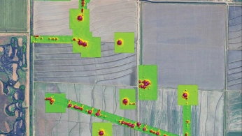
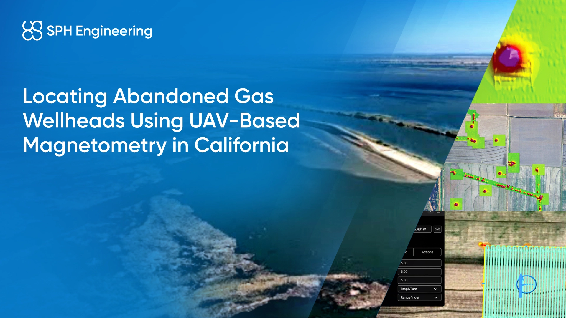
California Department of Conservation records identified 25 abandoned gas wells in the project area, but their precise surface positions were uncertain because of agricultural activity, irrigation infrastructure changes, and decades of sediment accumulation.

The scale of unlocated and unmeasured wells overwhelms ground-based methods
The global abandoned wells challenge is one of scale: peer-reviewed inventories cover 4.5 million wells across 127 countries with detailed well-level data for only 9 percent of them [i]. In the United States alone, fewer than 1,200 wells out of millions have ever had their methane emissions directly measured.
Terrestrial surveys covering thousands of acres are not realistic for operators, regulators, or remediation programs working at this scale.

New development creates risk wherever undocumented wells exist
Drilling, hydraulic fracturing, pipeline construction, solar farm development, carbon storage injection, and tidal wetland restoration all require a reliable understanding of legacy subsurface infrastructure in the project area.
Undocumented well infrastructure creates specific operational risks: drilling intersections can cause blowouts, construction disturbances can mobilize legacy contamination, CCS (Carbon Capture and Storage) injection can leak through abandoned bores, and land use changes can disturb and release previously contained gases. Pre-development surveys are increasingly required, but they need to be cost-effective and reliable enough to use at project scale.

Active site conditions complicate access for traditional ground surveys
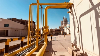
Many abandoned wells sit in environments that are difficult or unsafe for ground-based surveys: agricultural land in active production, wetlands and floodplains, remote sub-Arctic terrain with limited road access, brownfield sites with mixed magnetic clutter, and active facilities where survey work would disrupt operations. Drone-based surveys can reach these sites from a single launch point at the edge of the survey area.
UAV Applications in Orphaned and Abandoned Wells Detection and Monitoring
Drone-based magnetometry and methane detection serve different but complementary roles in abandoned wells work. Magnetometry locates intact steel well infrastructure regardless of leak status. Methane detection identifies which wells are actively releasing gas and supports quantification for reporting. Combined, the two methods deliver a workflow from initial site discovery through emission characterization and ongoing verification.
Locating Undocumented and Mislocated Wells
Drone-based magnetic surveys detect the magnetic anomaly produced by steel well casings, support infrastructure, and associated buried pipelines. Targeted surveys at low altitude (5 m AGL) with tight line spacing (5 m) are used over known and suspected well coordinates to confirm the well position in the field and identify additional infrastructure.
Verifying Leak Status Through Methane Detection
Once a well location is known, drone-based methane detection can indicate whether the well is actively releasing methane gas. The TDLAS sensors measure methane column density along the flight path, with concentration mapping that locates and characterises emission sources. The UAA case study documented zero false positives and zero false negatives in controlled-release testing and successfully detected methane leaks at 9 of 10 field surveys of real abandoned wells in Alaska. Detection can still be used where magnetic clutter, surface mineralization, vegetation cover, or buried casings make magnetic identification complicated.
Pre-Development Site Characterization
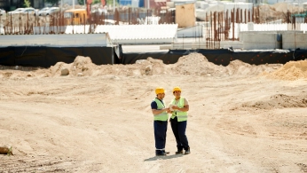
Drone surveys before new drilling, construction, pipeline routing, or land use change identify legacy well infrastructure that historical records may have missed. The Yolo County wetland restoration project used this workflow to verify and locate wellhead positions before construction could proceed in the largest tidal wetland restoration in the California Delta. The pre-development survey reduces the risk of construction-induced damage, contamination mobilization, or unsafe intersection with legacy infrastructure.
Combined Magnetic and Methane Surveys for Full Site Characterization
The same drone platform supports magnetic and methane surveys by swapping the payload between missions. Combined campaigns produce co-registered datasets that locate wells through their magnetic signatures and link leak-screening results to specific well locations. This is particularly valuable for sites where magnetic detection alone has known gaps (missing casings, buried infrastructure, magnetic clutter from agricultural or industrial activity) or where methane survey results need to be tied to specific well locations.

Recommended Solutions
Magnetometer Kit
HARDWARE
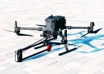
Drone magnetometers enable fast magnetic anomaly mapping for mineral exploration, UXO detection, and ferrous object localization over large areas.
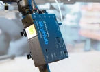
SkyHub is a drone onboard computer that ensures reliable sensor integration and precise, synchronized data collection during every flight.
SOFTWARE

Desktop drone flight planning for the most demanding pilots.

Assess & process GPR and other sensor data.

Online GIS for Surveyors and Geophysicists.

Geophysical data processing and interpretation software.

Geophysical data processing and interpretation software (gravity/magnetics)
TRAINING

Advanced technical training and expert support to elevate your team’s expertise and ensure precise, efficient execution of your drone-mission tasks.
Methane Detection Kit
HARDWARE
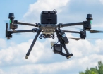
Drone and robot-mounted methane sensors, available in laser-based (TDLAS) and direct-sampling (sniffer) configurations, detect and localize fugitive emissions across pipeline corridors, wellheads, and industrial facilities.
SkyHub is a drone onboard computer that ensures reliable sensor integration and precise, synchronized data collection during every flight.
SOFTWARE
Desktop drone flight planning for the most demanding pilots
Drone survey data management and GIS visualization platform
TRAINING
Advanced technical training and expert support to elevate your team’s expertise and ensure precise, efficient execution of your drone-mission tasks.
.webp)
Why Operators, Regulators, and Remediation Programs Choose Our Solution

Magnetometry and methane detection from one platform
The same UAV setup supports both magnetic and methane surveys through payload swapping. Operators run magnetic surveys to locate well infrastructure and methane surveys to verify leak status, during the same site visit and with the same flight planning workflow. This reduces the need to mobilize a different fleet or contract a different vendor for each method.

Range of sensor options for each method
The SPH Engineering portfolio covers the range of operational needs for abandoned wells work. For magnetometry, the portfolio spans atomic total-field sensors with gradiometer capability through to single-sensor, two-sensor, and five-sensor fluxgate arrays. For methane detection, the portfolio includes laser-based TDLAS sensors with high specificity to methane and direct-sampling sniffer sensors. Sensor selection is matched to the survey target, terrain, and drone platform.

OGMP 2.0-aligned methodology
Methane surveys are structured to support OGMP 2.0 Level 3 reporting, the source-level reporting tier required by the UN Environment Programme's Oil & Gas Methane Partnership 2.0 framework. Level 4 capability is available depending on survey methodology. This positions the data for direct use in regulatory submissions, ESG reporting, and operator commitments to OGMP 2.0.

Repeatable acquisition geometry for time-series monitoring
Automated UgCS flight planning produces the same flight lines, altitude, and spacing across surveys. Repeat campaigns support post-plugging verification, repeated leak screening, OGMP 2.0 measurement-based reconciliation, and time-series tracking of remediation program performance. The UAA case study demonstrated this approach, showing continued detection of active leaks during ongoing remediation work on the same sites.

Reduced exposure in restricted and hazardous environments
Drone surveys reach agricultural wetlands, remote Arctic and sub-Arctic terrain, brownfield sites with mixed magnetic clutter, and active facilities without requiring crews to walk across the survey area. The drone operator works from a designated launch point or from several planned launch points, depending on the site size, vegetation or other limitations and constraints. This is particularly relevant for sites where ground access would disturb sensitive land use, expose crews to legacy contamination, or require seasonal access windows.

Trusted by
SPH Engineering technologies are used by over 70 leading universities, research institutes, and technology partners.






%202.svg)
_black%201.svg)





Your Questions About Drone-Based Abandoned Wells Detection
Does drone-based methane detection support OGMP 2.0 reporting?
Yes. SPH Engineering methane surveys are structured to support OGMP 2.0 Level 3 reporting, the source-level reporting tier of the UN Environment Programme's Oil & Gas Methane Partnership 2.0 framework. OGMP 2.0 Level 3 requires emissions data at the single emission source scale (such as a single abandoned well) using generic emission factors. Level 4 reporting, which uses company-specific emission factors derived from direct measurement, is achievable depending on survey methodology. OGMP 2.0 Level 5 (site-level reconciliation) typically combines source-level UAV data with site-level satellite or top-down measurements.
What is the difference between TDLAS and sniffer methane detection?
TDLAS (Tunable Diode Laser Absorption Spectroscopy) sensors emit an infrared laser at a wavelength selected for methane absorption and measure the absorption along the laser path. This produces a column-integrated methane measurement (in ppm·m) along the laser path between the drone and the ground. TDLAS sensors are highly specific to methane, since the laser wavelength is absorbed only by methane and not by water vapour or CO2. Real-world performance still depends on range to ground, surface reflectivity, atmospheric conditions, and instrument calibration.
Direct-sampling sniffer sensors take a different approach: they pull air past a gas-sensing element at the sensor location, producing point measurements of concentration at the sensor altitude rather than along a path. TDLAS is generally preferred for large-area surveys at altitude; sniffer is often preferred for plume characterization and source localization at closer range.
The two methods are complementary rather than alternatives, which is why both sensor types are available in the SPH Engineering portfolio.