
Drone Aeromagnetic Surveys for Oil and Gas Exploration
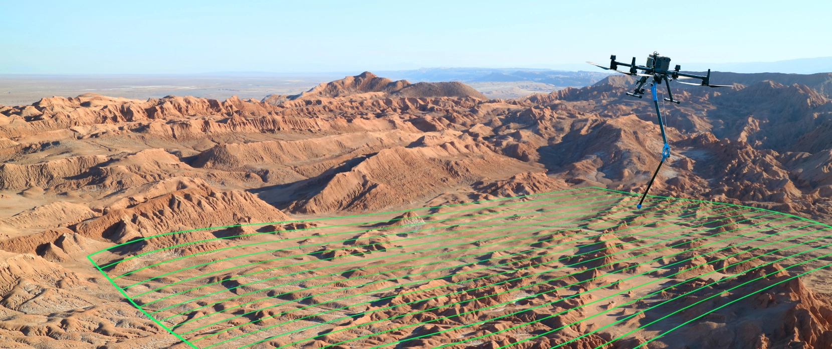
A drone aeromagnetic survey that supplements your seismic and gravity program in oil and gas exploration.
- Use drone-based aeromagnetic data to refine structural understanding, map magnetic lineaments, and prioritize where to focus seismic interpretation, field follow-up, or drilling decisions.
- Capture low-altitude, georeferenced magnetic data over difficult terrain without requiring a ground crew to walk the grid, and deliver datasets prepared for interpretation in Oasis montaj and GIS software.

Exploration Challenges That Drone Aeromagnetic Data Helps Address

A single method rarely identifies a target on its own
Each geophysical method measures contrast in a different physical property. A magnetic map shows where the field is stronger or weaker, but not the source of the anomaly by itself. Interpretation becomes more reliable when independent datasets point to the same structure.

Basement and fault framework uncertainty
Seismic remains the primary tool for stratigraphy and trap geometry, but in some settings it benefits from independent constraints on basement architecture, regional lineaments, and fault-related contrasts.

Cost of seismic over poorly constrained ground
Before committing to detailed seismic acquisition or infill, exploration teams often use reconnaissance methods such as gravity and magnetics to improve the regional structural picture.

Gaps between seismic lines
Widely spaced 2D seismic lines can leave uncertainty between profiles. A drone magnetic grid can add map-view structural detail that helps guide interpolation and follow-up interpretation.

Difficult or restricted terrain
Rough, vegetated, remote, or access-limited terrain can slow ground geophysics and increase crew exposure. Drone acquisition keeps personnel off the survey grid while maintaining low-altitude coverage.
Drone Aeromagnetic Survey Applications in Oil and Gas Exploration
Structural and basement framework mapping
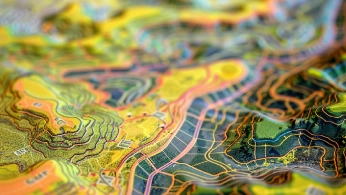
Low-altitude drone magnetometry produces high-resolution total magnetic intensity grids that can help map lineaments, contacts, intra-basin structure, and fault-related contrasts. This is especially useful for structural interpretation because gravity and magnetic methods respond to lateral rock-property variations and can help highlight steep discontinuities that may be difficult to resolve with seismic alone. Depth to magnetic basement and sediment thickness are not measured directly; they are estimated through interpretation and modelling methods such as RTP, derivative mapping, Euler deconvolution, Werner deconvolution, spectral analysis, or source parameter imaging, ideally constrained by geology, wells, seismic, or gravity data.
Pre-seismic high-grading and infill between seismic lines
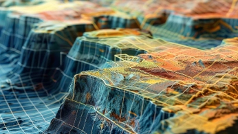
Flown before a seismic campaign, drone aeromagnetics can help prioritize areas for seismic acquisition or infill. Flown over an area with existing 2D seismic, it provides a continuous magnetic grid that helps review structural trends between lines.
A magnetic layer for multi-method interpretation
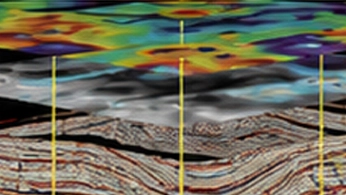
Gravity responds mainly to density contrast, magnetics to magnetization contrast, and seismic to acoustic impedance boundaries. Because the same geophysical anomaly can have more than one possible cause, confidence improves when independent datasets support the same geological interpretation. SPH Engineering supplies the drone-based magnetic layer; gravity and seismic are acquired with other instruments and integrated during data interpretation.
Indirect hydrocarbon-microseepage screening
Some exploration workflows combine magnetic data with airborne gamma-ray spectrometry to screen for near-surface alteration patterns that may be associated with hydrocarbon microseepage. This is an indirect and interpretation-dependent method, not a direct hydrocarbon detector. It should be treated as a screening complement to structural, seismic, geochemical, and geological evidence.
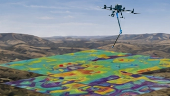
Recommended Drone Solutions for Oil and Gas Aeromagnetic Surveys
Magnetometer Kit
HARDWARE
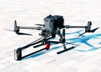
Drone magnetometers enable fast magnetic anomaly mapping for mineral exploration, UXO detection, and ferrous object localization over large areas.
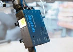
SkyHub is a drone onboard computer that ensures reliable sensor integration and precise, synchronized data collection during every flight.
SOFTWARE

Desktop drone flight planning for the most demanding pilots.

Assess & process GPR and other sensor data.

Online GIS for Surveyors and Geophysicists.

Geophysical data processing and interpretation software.

Geophysical data processing and interpretation software (gravity/magnetics)
TRAINING

Advanced technical training and expert support to elevate your team’s expertise and ensure precise, efficient execution of your drone-mission tasks.

Why Exploration Teams Choose Our Aeromagnetic Solutions

Large-project support in UgCS
Plan extensive magnetic surveys as one campaign. UgCS Large Projects splits large survey polygons into flyable sub-areas while keeping grid alignment across the whole site, with tie lines for QA/QC and Shift Right for matching historical survey lines.

DEM/DSM terrain following for magnetic grids
UgCS supports terrain-following flight planning from elevation data, including custom DEM import, 3D preview, and large DEM support. This helps maintain planned AGL over uneven terrain and improves consistency across magnetic survey lines.

Built for multi-method interpretation
Magnetic grids are geotagged and prepared for integration with gravity, seismic, geology, and GIS workflows. The strongest interpretation usually comes where independent datasets support the same structural model.

Survey-ready workflow, not a prototype
SPH Engineering integrates drones with magnetometers, UgCS flight planning software, SkyHub onboard computer, training, and data-processing workflows into one supported solution for field teams, with the same stack extending to GPR and other drone geophysical surveys.

Trusted by
SPH Engineering technologies are used by over 300 leading universities, research institutes, and technology partners.






%202.svg)
_black%201.svg)





Your Questions About Drone Aeromagnetic Surveys in Oil and Gas
Which methods do you combine aeromagnetics with, and why?
Most often, gravity and seismic. Gravity responds mainly to density contrast, and magnetics to magnetization contrast, so both resolve faults and steep contacts, while seismic resolves layer boundaries. Read together, they can help to delineate basement, lineaments, faults, and structural trends, but they do not directly confirm drilling locations. Some explorers also pair magnetics with gamma-ray spectrometry to screen for hydrocarbon-microseepage alteration, an indirect approach described below.
Can drone aeromagnetics detect hydrocarbons directly?
No. Magnetics maps magnetic contrast and structure, not hydrocarbons. Some workflows combine magnetics and radiometrics to look for near-surface alteration patterns that may be associated with hydrocarbon microseepage, but this is indirect, case-dependent, and not diagnostic. It should be treated as a screening complement rather than a direct hydrocarbon indicator.
Does a drone aeromagnetic survey replace a regional fixed-wing aeromagnetic survey?
No. Drone aeromagnetics is better suited to prospect and license-block scale, infill, and detailed near-surface work. First-pass surveys across an entire basin usually remain a fixed-wing task because of endurance and speed. For work in between, the practical answer is often fixed-wing for the belt and a drone for the priority targets.
Does the survey measure depth to basement directly?
No. Magnetometry measures the magnetic field. Depth to magnetic basement, fault frameworks, and possible sediment-thickness trends are interpreted from that field through processing and modeling such as RTP, Werner deconvolution, and Euler deconvolution, spectral analysis, or source parameter imaging, preferably constrained by geology or other data.
Can drone aeromagnetics replace seismic or gravity?
No. It supplements them. Magnetics and gravity are potential-field methods that can help constrain the structural model and high-grade areas before and alongside seismic, which remains the primary method for detailed stratigraphic and prospect definition.
Do you offer drone gravity or drone seismic?
No. Unfortunately, the seismic method is not applicable for the drones, and there are no solutions on the market for drone gravity with sensitivity and accuracy required for Oil & Gas exploration. SPH Engineering delivers the airborne magnetic component and can add a Medusa gamma-ray spectrometer payload as a separate remote-sensing layer. Gravity and seismic are run with other instruments and integrated in the interpretation.
Do we need ATEX or IECEx-rated equipment for this survey?
Generally not for greenfield or open-ground exploration surveys. However, any work near live oil and gas facilities or classified hazardous zones must be assessed site by site. ATEX and IECEx ratings apply to equipment used in potentially explosive atmospheres, which is a different requirement from most open-area exploration mapping.
Which sensor suits structural mapping versus shallow targets?
A total-field scalar magnetometer (MagNIMBUS or MagArrow Mk2) is the conventional choice for TMI and structural or basement mapping. Fluxgate MagDrone configurations are better suited to detailed near-surface magnetic mapping and ferrous-target work; MagNIMBUS gradiometer system use depends on the survey objective.
What survey altitude and line spacing are typical?
For drone geological mapping, sensor-ground clearance is commonly in the 5-30 m range, depending on terrain, target depth, sensor type, and safety limits. Detailed near-surface targets use lower clearance. Line spacing is selected from the target size and required resolution; detailed near-surface surveys use tighter spacing, while broader reconnaissance uses wider grids.
What are the regulatory requirements?
Regulatory requirements depend on the country, drone weight, airspace, flight altitude, proximity to people, site rules, and whether the operation is VLOS or BVLOS. In the EU/EEA, drone operations are governed by Regulation (EU) 2019/947 and may fall under the Open or Specific category depending on operational risk; Specific-category operations often require an operational risk assessment such as SORA. In the US, commercial drone surveys are generally operated under FAA Part 107, while BVLOS and other operations outside Part 107 limits require the appropriate FAA authorization or waiver. Mine sites may also have their own aviation, safety, and access requirements.