Source: Thomas, W.H. & Wang, C. (2026). Methane Detection for Abandoned Oil and Gas Wells. Preprints.org (preprint, not peer-reviewed). doi: 10.20944/preprints202602.0497.v1
Research funded by: National Science Foundation EPSCoR Cooperative Agreement OIA-2119689
Institution: Department of Geomatics, GeoComputing Lab, University of Alaska Anchorage
Key Results
- Controlled release tests: zero false positives, zero false negatives at skewness threshold of 1.5
- Field verification at three real abandoned wells in Houston, Alaska, independently confirmed by Alaska Oil and Gas Conservation Commission
- Methane leaks detected in 9 of 10 field surveys (skewness), with statistically significant spatial clustering in 8 of 10 (Moran's I)
- System continued detecting active leaks even during ongoing remediation work
Challenge: 3.9 Million Oil and Gas Wells, Unmonitored Methane Emissions
The United States has approximately 3.9 million documented abandoned and orphaned oil and gas wells. According to the U.S. EPA's 2024 Inventory of Greenhouse Gas Emissions and Sinks, about 3 million of those are classified as abandoned. On top of that, as of 2023 there were 117,672 documented orphaned wells (wells with no legally responsible owner), plus an estimated 310,000 to 800,000 undocumented orphaned wells that have never been formally cataloged.
These wells are not just historical artifacts. Unplugged wells provide a direct pathway for methane gas leaks and other pollutants to reach the surface. Methane has 86 times the global warming potential of carbon dioxide over a 20-year period. The EPA estimates abandoned wells contribute 8.5 million tons of CO2 equivalent annually, roughly 3% of the U.S. oil and gas sector's total methane emissions. Benzene, a known carcinogen, has been detected at 70% of abandoned well sites in Pennsylvania studies. Methane buildup in enclosed spaces can lead to explosions.
The scale of the problem attracted serious federal funding. Section 40601 of the 2021 Bipartisan Infrastructure Law allocated $4.675 billion for plugging, remediation, and restoration of orphaned well sites. $4.275 billion of that went to 28 states with documented wells. Alaska, with twelve documented abandoned wells, received $28.3 million across two grant phases in 2024 and 2025.
But here is the core challenge: fewer than 1,200 of those millions of wells have ever had their emissions measured. You cannot prioritize remediation spending without knowing which wells are actively leaking. Existing detection methods, primarily aerial magnetometry, rely on finding the magnetic signature of steel well casings. That fails when casings are absent, buried, or surrounded by other metallic debris that creates false positives. Researchers at the University of Alaska Anchorage's GeoComputing Lab proposed a different approach: fly a methane sensor over the site and measure what actually matters.

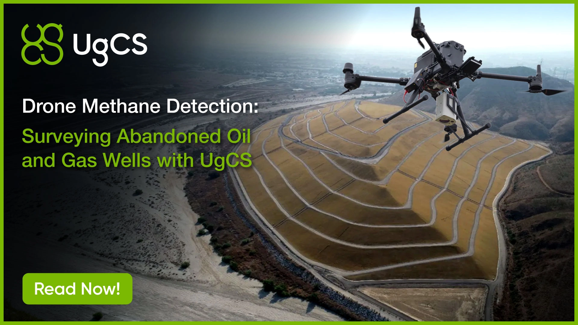
Drone Methane Survey System
The research team built their drone methane detection platform from four components: a DJI Matrice 300 RTK drone, a Laser Falcon methane sensor, a UgCS SkyHub onboard computer, and UgCS flight planning software running on the ground control station.
Methane Detection Sensor: Laser Falcon TDLAS System
The Laser Falcon uses tunable diode laser absorption spectroscopy (TDLAS) to measure methane column density. It emits infrared laser light at 1.653 µm, a wavelength absorbed only by methane (not by CO2 or water vapor), enabling high-precision methane leak detection. The sensor's measurement range spans 0 to 50,000 parts-per-million-per-meter (ppm·m) with an accuracy of ±10% of the measured value. It was powered by an independent 3-cell 11.1V LiPo battery. With the Laser Falcon and SkyHub attached, the M300 RTK's flight time dropped from its unloaded maximum of 55 minutes to approximately 35 minutes.
SkyHub Integration for UAV Methane Data Acquisition
UgCS SkyHub onboard computer served as the bridge between the drone and the methane sensor.It logged methane sensor data, synchronized GNSS coordinates of the drone's position with each methane measurement, and provided direct drone control through the UgCS software interface.
That GNSS synchronization is critical. Every methane reading needs a precise geographic coordinate to be useful for spatial analysis. Without it, you have a list of concentration values with no way to map them back to specific locations on the ground.
Automated Methane Survey Flight Planning with UgCS
For each site, the team conducted a pre-mission visit to assess the area, determine safe flight altitude, and identify obstacles. They used a rangefinder to measure obstacle heights, since the methane surveys benefit from flying low enough to be able to measure emissions before they disperse, but not too low so the moving air from the drone propellers doesn’t affect the measurements.The collected information defined flight boundaries for grid-based area scans planned in UgCS. The spacing between flight passes and the selected flight speed were calculated based on the sensor's field of view at a given altitude and its data acquisition rate. These parameters ensured approximately one methane measurement every meter across the survey area.
The paper notes a practical advantage of UgCS for multi-battery operations: the software enabled route interruptions for battery replacement and could resume the mission from any designated waypoint. For large survey areas that exceed a single flight's capacity, this meant systematic coverage without gaps or redundant passes.
Because the attached payloads blocked the M300 RTK's downward-facing obstacle avoidance sensors, those sensors were deactivated. The team opted for manual takeoff, and landing to ensure safety of equipment and operators. Once airborne, UgCS handled the automated grid execution.
Proving the Drone Methane Detection Method: Controlled Release Tests
Before deploying to real well sites, the team did test flights at the University of Alaska Anchorage Mat-Su campus in Palmer, Alaska. The site was chosen for its Class G airspace and a large, unoccupied, level lot suitable for repeated drone flights.
They simulated a methane leak from an abandoned well by releasing methane at a constant rate of 0.8 liters per minute using a 5% CH4 calibration gas mixture, and recorded the exact release location for comparison with detection results. Four flights were conducted: one baseline with no methane release, and three with the simulated leak. Each flight covered the same approximately 160m x 160m grid with 2m spacing between flight paths at 2 m/s flight speed. The flights were conducted at different altitudes to assess altitude's effect on detection: the baseline at 17m AGL, and the three leak flights at 32m, 20m, and 25m AGL.
Detection Results
Raw data was preprocessed to remove measurements taken during takeoff, landing, and turns (filtered using a velocity threshold of 1.8 m/s). The team then applied two complementary statistical methods.
Skewness analysis measures the asymmetry of the methane reading distribution. In a clean survey with no leak, readings follow a roughly normal (symmetric) distribution around background methane levels. When a leak is present, the distribution skews right, pulled by the elevated readings near the source. The baseline flight (Test A) showed a skewness of 1.41. The three leak flights averaged 9.61 (individual values: 14.35, 7.46, and 7.01). A threshold of 1.5 cleanly separated leak from no-leak scenarios.
Global Moran's I tests whether the elevated readings are spatially clustered (as you would expect near a point source) or randomly scattered. The three leak flights produced an average z-score of 4.78, corresponding to less than 1% probability that the clustered pattern occurred by random chance. The baseline flight showed a pattern not significantly different from random.
Leak threshold: skewness > 1.5 combined with statistically significant Moran's I z-score. All leak flights exceeded both; the baseline flight exceeded neither.
Field Verification: Three Abandoned Wells in Houston, Alaska
With the drone methane detection method validated under controlled conditions, the team moved to a real-world test. The Alaska Oil and Gas Conservation Commission (AOGCC) provided information on three abandoned wells located in close proximity in Houston, Alaska, making it possible to survey all three within a single field site.
The Wells
Well 1 rose approximately 2 meters above the ground and was located close to a highway. According to a progress summary report from an engineering consulting firm, photoionization detector (PID) measurements indicated low levels of gas from outside the well casing. No exact leak rate was provided.
Well 2 was in a wooded area, buried approximately 0.5 meters below ground. It had been excavated for PID measurements, which indicated active leaking from the well casing. Water was also leaking from the casing. The well was re-buried prior to this study, and no exact leak rate was documented.
Well 3, also in the wooded area, was initially thought to be a water well. After excavation, it was identified as a gas well. PID measures indicated gas leaking, again with no exact rate provided.
Survey Design
The team conducted ten flights across three survey periods: two before remediation and one during active remediation work. Each survey included two flights: one at 25m AGL covering all three wells, and another at 20m AGL focusing on Well 1 to account for obstacles at the site.
The 25m AGL survey data was divided in post-processing to reflect ground conditions: Wells 2 and 3 were located beneath tree cover, while Well 1 sat on open ground. This division helped the researchers assess whether canopy interference affected methane dispersion and laser path length. The 25m AGL survey conducted during remediation was not divided, as the site had been leveled and all vegetation cleared by that point.
What They Found
Skewness exceeded the 1.5 threshold in 9 of 10 field tests. The single exception (Test E-1, isolating Well 1 from the first pre-remediation survey) showed a skewness of 1.16. The researchers attributed this to dynamic wind interference, noting the site's proximity to a busy highway where intermittent gusts from passing cars occasionally overpowered the prevailing wind pattern.
Moran's I indicated statistically significant spatial clustering in 8 of 10 tests. The two exceptions were again from the first survey's divided data (Tests E-1 and E-2). Test E-2, covering the wooded Wells 2 and 3, fell only 6% below the 90% confidence threshold for clustering, suggesting its result was borderline rather than clearly negative.
When the researchers looked at the divided data across both pre-remediation surveys, the skewness values consistently pointed to higher methane readings originating from Wells 2 and 3 (the unplugged, wooded wells) rather than Well 1. This aligned with the AOGCC's prior knowledge that Wells 2 and 3 were unplugged and leaking greater quantities of methane.
Tests I and J, conducted during active remediation, still showed a leaking well present at the site. Both skewness values exceeded the 1.5 threshold and Moran's I z-scores indicated statistically significant clustering.
Why Precise UAV Flight Planning Is Crucial for Methane Gas Detection
The paper documents several factors that make flight planning quality directly relevant to methane detection accuracy. These are not abstract requirements. They showed up in the data.
Laser Path Length
The Laser Falcon measures methane as concentration integrated over path length (ppm·m). Any change in the laser's path, caused by the drone rolling, tilting, or yawing during flight, moves the sensor off its nadir-view position and changes the measurement. If background methane levels are significant, a longer path length captures more background methane and can trigger a false detection.
The field data showed this effect clearly. When the researchers isolated the unvegetated area around Well 1 (where the laser had a longer, more consistent path to the ground), skewness values decreased compared to the full-area survey. When they isolated the vegetated area around Wells 2 and 3 (where trees created a variable and shorter laser path), skewness values increased. Moran's I z-scores were even more sensitive to path length inconsistencies.
After remediation crews cleared the vegetation and leveled the site, the z-scores from the during-remediation surveys reached statistical significance, reinforcing how much a consistent laser path length matters to this methodology.
Grid Design and Speed
The survey grid had to match the sensor's capabilities precisely. Flight line spacing and speed were calculated from the Laser Falcon's FOV angle at the planned altitude and its data acquisition rate, targeting approximately one methane measurement per meter. Too fast or too wide, and you miss plumes. Too slow, and you burn battery time without improving coverage.
Low-Altitude Flight
Methane emissions disperse rapidly once they leave the ground. Flying lower increases the probability of detection, but also increases collision risk, especially at sites with vegetation, debris, or structures. The controlled tests flew at altitudes between 17m and 32m AGL; the field site used 20m and 25m AGL. Pre-mission obstacle measurement with a rangefinder, combined with UgCS desktop planning, where flight boundaries and altitudes could be validated before arriving on-site, was how the team managed this tradeoff.
Multi-Battery Operations
With the payload attached, the M300 RTK's flight time was approximately 35 minutes, and wind conditions could further shorten that. For survey areas too large for a single battery, UgCS's ability to interrupt a route for battery replacement and resume from a designated waypoint meant the team could cover the full grid without re-flying completed sections or leaving gaps.
The Bigger Picture: A $4.7 Billion Problem That Needs Scalable Detection
Twenty-eight states are currently spending federal funds on abandoned well remediation. The fundamental bottleneck is not the plugging itself, but finding and prioritizing which wells to plug. Magnetometry surveys detect steel casings, not emissions. A well with an intact casing may not be leaking. A well without one cannot be found by a magnetometer at all.
Drone-based methane detection flips the approach. Instead of looking for physical infrastructure (which may be buried, absent, or indistinguishable from other metallic objects), you measure the actual environmental risk. A well that is actively releasing methane is a higher remediation priority than one that is not, regardless of its casing status.
The researchers note this methodology extends beyond abandoned wells. The same system and statistical approach apply to landfill monitoring, gas pipeline leak detection and repair (LDAR), and permafrost methane surveys. Any application where a TDLAS sensor is used to detect methane from a drone can use the skewness and Moran's I framework validated in this study.
