UgCS SkyHub: Drone Onboard Computer for Secure Payload & Sensor Integration

Perform a GPR, magnetometer, echo sounder, or methane detection survey using a drone and the SkyHub onboard computer.
Offline logging
Geotagging
True Terrain Following (TTF)/Grasshopper
DJI & Pixhawk compatible
SkyHub onboard computer integrating GPR on DJI M300. Low-AGL True Terrain Following survey

SkyHub Explained:
What is a Drone Companion Computer?

SkyHub is a drone onboard computer that extends the capabilities of commercial-off-the-shelf UAVs for industrial sensing and automation. Acting as the central hub between the flight controller and payloads, it enables secure data handling, synchronized geotagging, and seamless drone payload integration.
With SkyHub, your data is always protected. All mission data is recorded offline in standard formats such as CSV, SEG-Y, and NMEA-0183. This guarantees maximum security, accuracy, and confidentiality.
The system also supports NMEA coordinate stream output to external sensors, allowing precise time and position synchronization for every dataset and eliminating the need for additional GNSS receivers on the drone.
Originally developed in 2017 to integrate a low-frequency GPR with DJI M600 Pro, SkyHub has since evolved through continuous updates, expanding support for more drone types (DJI M400/M350/M300, Cube/Pixhawk, Inspired Flight, Harris Aerial, Wispr, and many more) and sensors including GPR, magnetometers, echo sounders, methane detectors, metal detectors, gamma-ray spectrometers and side-scan sonar.

How it Works

Implementation of True Terrain Following for DJI drones to automatically keep constant elevation over the surface using real-time data from radar or laser altimeter.
Implementation of Grasshopper mode, when a drone is flying between waypoints at a safe altitude and descends in waypoints to a set altitude to make measurements (using NDT sensor, echo sounder, etc.) or to drop a parcel or seismic sensor.
Data collection from sensors like GPR, methane detector, magnetometer, echosounder, gamma radiation counter, etc. which don’t have an internal data logger. Data is recorded in CSV format as well in the formats compatible with specialized software for sensor data processing (SEG-Y, NMEA-0183, SVLOG, etc.)
Data fusion from Payload and Autopilot telemetry. Data without coordinates (non-geotagged) is in most cases useless. SkyHub uses positioning information from the drone to geotag sensor data.
SkyHub can supply NMEA coordinate stream to an external sensor. Some sensors have internal data recorders but require an external GPS receiver. SkyHub may substitute GPS receivers for such sensors.
Support for an external detector of obstacles to save the drone.

SkyHub Compatibility

The SkyHub drone onboard computer is compatible with all popular commercial-off-the-shelf enterprise drones and platforms
PlatformSupported ModelsConnection InterfaceCommunication ProtocolPower Source & Range
DJI Enterprise DronesM400, M350 RTK, M300 RTKDJI PSDK connectorDJI PSDKPowered from the drone’s main battery (12–24 V)
Cube / Pixhawk-Based DronesInspiredFlight IF1200A, IF800,  Wispr Ranger Pro, Harris Aerial H6, Skyfront Perimeter 8, DroneBase X4-1000, Hexadrone Tundra, Avartek Boxer, and other PX4/ArduCopter dronesTelem port of the autopilotMAVlinkPowered from the drone’s main battery (12–60 V)

SkyHub Compatibility

The SkyHub drone onboard computer is compatible with all popular commercial-off-the-shelf enterprise drones and platforms
Platform
DJI Enterprise DronesCube / Pixhawk-Based Drones
Supported Models
M400, M350 RTK, M300 RTKInspiredFlight IF1200A, IF800,  Wispr Ranger Pro, Harris Aerial H6, Skyfront Perimeter 8, DroneBase X4-1000, Hexadrone Tundra, Avartek Boxer, and other PX4/ArduCopter drones
Connection Interface
DJI PSDK connectorTelem port of the autopilot
Communication Protocol
DJI PSDKMAVlink
Power Source & Range
Powered from the drone’s main battery (12–24 V)Powered from the drone’s main battery (12–60 V)

True Terrain Following (TTF) & Grasshopper modes

Drone with GPR flying in True Terrain Following mode with SkyHub by SPH Engineering

How TTF Works

True Terrain Following (TTF) enables a drone to automatically maintain a consistent altitude above ground or water based on real-time altimeter readings. This ensures that flight height stays stable, even over uneven terrain or variable surfaces such as slopes, vegetation, or water bodies. Learn more in the TTF datasheet.

Grasshopper: Point-Based Descents for Measurements

The Grasshopper mode allows the UAV to perform precise, point-based descents to a predefined height for data collection before returning to its flight altitude. This mode is particularly useful for measurements requiring direct proximity to the surface, such as water sampling, echo sounding, or specific geophysical readings.

When to Use Which

Both TTF and Grasshopper serve to ensure data quality and operational safety, but they are suited for different survey scenarios:
TTF is essential when maintaining a constant distance between the sensor and the surface. For example, Ground Penetrating Radar (GPR), magnetometers, and electromagnetic induction (EMI) tools rely on a stable altitude to collect accurate and consistent data.
Grasshopper is ideal when the UAV must briefly approach the surface at specific points. For example, it is used in bathymetric surveys with echo sounders or environmental measurements that require contact or near-contact readings.
In both cases, TTF improves flight safety at very low altitudes and helps meet regulatory requirements (country-dependent).

Supported Altimeters

TTF and Grasshopper are supported by two altimeter types integrated with the SkyHub onboard computer, radar, and laser altimeters. The choice depends on surface conditions, sensor type, and operational environment.
SkyHub v.3 by SPH Engineering offers endless capabilities having multiple communication ports and channels to make virtually any sensor airborne
I/O & Power for Drone Sensor Integration
SkyHub v3 exposes multiple communication ports and power options to integrate a wide range of sensors.
I/O & PowerSpec
Ethernet1× 10/100 MBit
RS-232
UART
GPIO pin pairs
USB 2.0 (total current)2×, 3A
WirelessWi-Fi (802.11 b/g/n/ac), Bluetooth 5.0
Input voltage12–60 V (from drone main battery)
SkyHub by SPH Engineering
Power for Sensors
SkyHub eliminates the need to have a separate battery or power circuit for the sensors. Every connector with communication ports has pins with +5V and +12V, covering 99% of power requirements for the sensors.
One additional power connector is configurable and may output 9, 12, 15, 18V with 5A load maximum. This connector is software controlled and you can turn the payload power on and off while the drone is in the air!

Applications

Frequently Asked Questions
Does SkyHub work offline?
Yes. All logging and processing are performed locally on the onboard computer; no cloud or Internet connection is required.
Which file formats are recorded?
CSV plus formats commonly used in geophysical workflows (e.g., SEG-Y), NMEA-0183, and SVLOG.
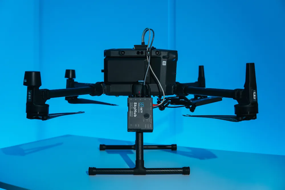
What are the SkyHub-supported drones?
DJI M400, M350 RTK, M300 RTK; and Pixhawk/Cube (ArduCopter/PX4) via MAVLink.
What is the minimum AGL with True Terrain Following?
As low as 0.5 m.
Can UgCS SkyHub power my sensor?
Yes. Configurable 9/12/15/18 V (up to 5 A), plus +5 V and +12 V pins on comm connectors.