
Drone-Based Monitoring of Industrial Ponds and Produced Water Impoundments
SPH Engineering's drone-deployed echo sounders deliver bathymetric surveys that measure water depth, track sediment buildup, and quantify remaining storage capacity across produced water ponds and impoundments. Regular surveys give upstream and midstream operators the data they need to manage capacity proactively, plan dredging campaigns, and meet regulatory inspection requirements without taking facilities offline.
The same UAV platform supports related Oil & Gas applications, including magnetometry surveys for abandoned wells detection and methane leak surveys, on a single fleet.

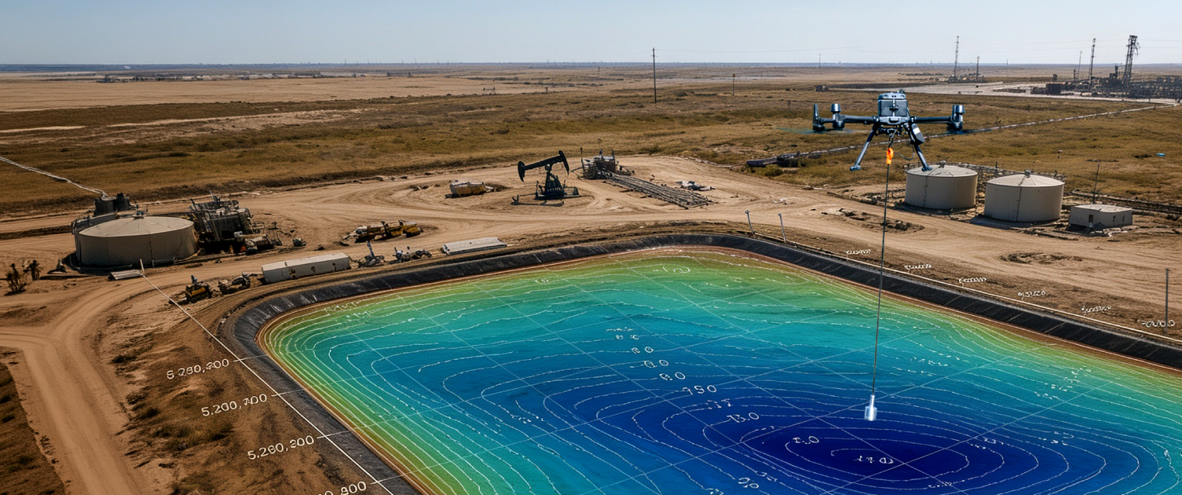
Industrial Pond and Produced Water Monitoring Challenges Our Drone Solutions Solve
Produced water is the largest-volume waste stream in oil and gas operations. Global generation is forecast to roughly double over the next decade from approximately 158,900 to 243,000 million barrels per day, with the Permian Basin alone producing more than 20 million barrels per year. As fields mature, the water-to-oil ratio can rise from a typical 3:1 to as much as 9:1, which means the storage and management burden grows even where production is flat. Operators managing produced water ponds and impoundments face capacity pressure, regulatory inspection cycles, and the need for defensible data on what is actually in their storage at any given time. Drone-based bathymetry addresses these constraints at a cadence and cost that traditional survey methods cannot match.

Pond storage capacity becomes a constraint as fields age and water cuts rise
For most onshore producing assets, the volume of produced water generated rises faster than oil production declines over the life of a field. A typical asset producing three barrels of water for each barrel of oil at early life can be producing nine barrels of water per barrel of oil in late life. Storage and disposal capacity that was sized for early-life operation can become the binding constraint on production once water cuts rise, and pond capacity in particular needs to be tracked closely because evaporative, gravity-settling, and recycle ponds are often the first buffer between operations and a disposal or treatment bottleneck.

Sediment buildup reduces effective storage capacity without changing the surface
Produced water carries dissolved and suspended solids, oil residues, treatment chemicals, and formation particulates that settle out over time. The bathymetric profile of a pond changes from year to year as the sediment layer builds up, reducing the effective storage volume even when the water surface looks unchanged. Without periodic surveys that measure the depth profile, operators cannot accurately quantify how much storage is left, which creates uncertainty in dredging planning, capacity reporting, and overflow risk assessment.

Regulatory inspection and reporting cycles require defensible measurement data
Produced water ponds are regulated under different frameworks in different jurisdictions. In the US, ponds are typically permitted through state water quality boards (separate from Class II UIC injection well permitting), with capacity, freeboard, and integrity reporting requirements that vary by state. In the EU, the Industrial Emissions Directive and national water frameworks apply. In offshore operations, the OSPAR Convention sets discharge concentration limits (such as the 30 mg/L oil-in-water standard for the North Sea). Across all of these frameworks, regulators increasingly expect measurement-based data on actual pond conditions, not estimates derived from intake and discharge logs.

Traditional pond surveying methods are slow, hazardous, or both
Boat-based bathymetric surveys, the conventional approach, expose crews and equipment to direct contact with produced water that may contain hydrocarbons, dissolved salts at concentrations exceeding 100,000 mg/L total dissolved solids, treatment chemicals, and (in some formations) NORM constituents. Wading is generally not acceptable in produced water for the same reasons. Manual sounding from the pond edge produces sparse data that does not resolve the bottom profile. Boat surveys can also create a risk of liner damage where contact is required to launch or recover equipment. The result is that many produced water ponds are surveyed less frequently than would be ideal, and capacity is estimated rather than measured.

Decisions on dredging and maintenance need accurate before-and-after data
Dredging is a common method for restoring pond capacity once sediment buildup is significant, but it is expensive, operationally disruptive, and (depending on jurisdiction) requires waste characterization and disposal arrangements for the removed material. Operators need accurate before-and-after bathymetric data to scope dredging campaigns realistically, verify completion, and document capacity restored for regulatory reporting. Drone-based surveys produce the high-resolution depth maps and volume calculations that support both stages of this work.
UAV Applications in Industrial Pond and Produced Water Monitoring
Drone-deployed echo sounders produce continuous, high-resolution bathymetric survey data across produced water ponds and impoundments used in oilfield water management, without requiring boat access or crew contact with the water. The data feeds directly into capacity management, regulatory reporting, dredging planning, and time-series tracking of pond condition.
Baseline Bathymetric Characterization
The initial drone-based bathymetric survey establishes a defensible baseline of pond geometry, current bottom/sediment surface, and remaining storage capacity. For new facilities, this baseline becomes the reference dataset against which all subsequent surveys are compared. For existing facilities where capacity has only been estimated, the baseline often reveals that the actual remaining volume differs from design assumptions.
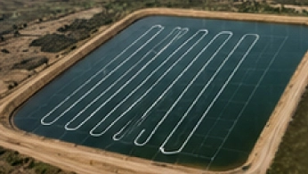
Periodic Capacity and Sediment Monitoring
Repeat surveys at regular intervals (monthly, quarterly, or annually depending on facility activity and regulatory requirements) track changes in pond geometry over time. Sediment accumulation rates can be quantified and trended, capacity loss can be tracked against operational thresholds, and the data feeds directly into management reports for regulators, asset owners, and capacity planning teams.
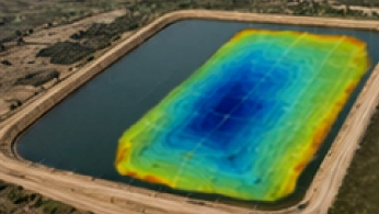
Dredging Campaign Planning and Verification
Pre-dredging surveys define the volume of material to be removed, the depth profile to restore, and the priority areas based on sediment distribution. Post-dredging surveys verify completion against the plan, document the capacity restored, and produce the reporting evidence that operations, regulators, and contractors all need. The same drone platform runs both surveys with consistent acquisition geometry.
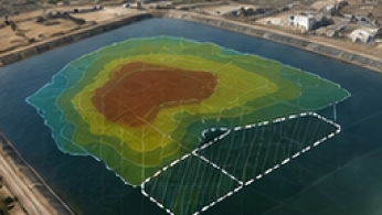
Regulatory Inspection Support
For operators reporting to state water quality boards (US), national environmental regulators (EU and elsewhere), or internal corporate compliance frameworks, drone-based bathymetric surveys produce the measurement-based data that can support defensible reporting. The output includes georeferenced depth maps, volume calculations, freeboard estimates when combined with water-surface and crest-elevation data, and trend analysis from prior surveys, all in formats suitable for inclusion in compliance submissions.
Recommended Solutions
Echo Sounder Kit
HARDWARE
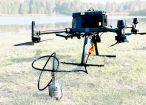
Drone-mounted echosounders provide accurate bathymetric data for depth measurement, sediment monitoring, and underwater terrain mapping.
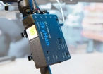
SkyHub is a drone onboard computer that ensures reliable sensor integration and precise, synchronized data collection during every flight.
SOFTWARE

Desktop drone flight planning for the most demanding pilots.

Bathymetric data processing software.

Hydrographic survey mapping software.
TRAINING

Advanced technical training and expert support to elevate your team’s expertise and ensure precise, efficient execution of your drone-mission tasks.
Why Operators Choose Our Solution for Pond Bathymetric Monitoring

Non-contact survey methodology removes crew and equipment exposure
Drone-deployed echo sounders measure water depth without putting crew, boats, or other equipment in direct contact with produced water. This eliminates the exposure hazards associated with hydrocarbons, high salinity, treatment chemicals, and NORM constituents that can be present in produced water chemistry. Surveys can be scoped, planned, and executed without the access constraints that traditional boat-based methods require.

High-resolution bathymetric data for capacity and sediment quantification
The output of a drone-based survey is a georeferenced bathymetric grid with point density and accuracy suitable for capacity calculation, sediment volume quantification, and time-series comparison. This is significantly higher data density than manual sounding or sparse-line boat surveys, and it feeds directly into capacity reports and dredging plans.

Repeatable acquisition geometry across surveys
Automated UgCS flight planning produces consistent line spacing, altitude, and grid orientation across surveys, which helps make time-series comparison more consistent and defensible. Sediment accumulation, capacity change, and dredging effectiveness can all be quantified against the same reference geometry.

Fast survey turnaround supports operational and regulatory cycles
A produced water pond that could take days to survey by boat can often be surveyed by drone in hours, with processed deliverables available within the same week or faster depending on scope and processing requirements. This makes more frequent surveys practical, which in turn supports tighter capacity management, faster response to precipitation events, and shorter cycle times on dredging decisions.
Data outputs designed for compliance and reporting workflows
Survey outputs are produced in formats that can be prepared for regulatory submissions and internal compliance reporting: georeferenced grids in standard GIS formats, depth contours, volume calculations with documented methodology, and time-series comparisons against prior surveys. The DroneGIS platform hosts the data for ongoing access by operations, compliance, and management teams.

Trusted by
SPH Engineering technologies are used by over 70 technology partners, leading universities, and research institutes, with more than 160 echo sounder deployments worldwide, including produced water pond surveys in the Permian Basin.






%202.svg)
_black%201.svg)





Watch Our Technical Webinars for Professionals

Your Questions About Drone-Based Produced Water Pond Monitoring
How accurately can drone-based echo sounders measure depth?
Depth accuracy depends on the sensor model, the water surface conditions, sediment amount, water temperature, the depth range being measured, and the processing workflow. Depending on the model, echo sounder specifications list depth accuracy around 0.2% of measured depth; overall project accuracy still depends on GNSS positioning, flight-line spacing, surface conditions and processing. Specific accuracy figures for your survey conditions should be confirmed with the SPH technical team during scoping.
How is drone-based pond bathymetry different from boat-based surveys?
The practical difference is access and exposure. Boat and manual surveys remain accurate, but they put crew and equipment into produced water that can carry hydrocarbons, high salinity, and treatment chemicals, and launching a boat risks liner damage. Drone-deployed echo sounders collect the same depth data from above the surface, faster on a per-pond basis and with denser, more consistent line spacing for year-over-year comparison.
Can drone-based bathymetric data be used in regulatory submissions?
Yes. The data outputs include georeferenced depth grids in standard GIS formats, volume calculations with documented methodology, depth contour maps, and time-series comparison against prior surveys. These are the types of outputs that regulators and internal compliance frameworks often request for produced water pond capacity and integrity reporting. Specific reporting requirements vary by jurisdiction; the SPH team can advise on output formats appropriate for your regulator.
What pond sizes does drone-based bathymetry work for?
Drone-based bathymetry is generally most cost-effective for small to medium ponds in the 0.5 to 10 hectare range typical of upstream produced water storage where boat mobilisation is inefficient or access is restricted. Smaller ponds may not justify drone mobilisation over manual sounding; larger impoundments may need multi-flight missions but remain practical. The SPH team can advise on whether a specific facility falls within the practical range for the drone workflow.
Does drone bathymetry work in ponds with hydrocarbon film or chemical residues on the surface?
The echo sounder transducer needs contact with the water surface to operate. Light surface contamination is typically not a problem, but heavy oil films, foam, or solid surface residues can interfere with measurement. For ponds with significant surface contamination, the SPH technical team can advise on whether spot cleaning, a different transducer configuration, or an alternative survey timing would produce reliable results.
How does pond monitoring relate to other drone surveys we might need at the same site?
A compatible UAV fleet can also support magnetometry and GPR for buried infrastructure and abandoned wells detection, methane detection for fugitive emissions on pipelines and facilities, photogrammetry and LiDAR for terrain and facility mapping, and other applications. This means the drone fleet used for pond surveys can often support adjacent surveys across the same facility, with appropriate payloads, operator training, and technical support.
Does the workflow support NORM monitoring in pond sediment?
NORM (Naturally Occurring Radioactive Materials) in produced water from certain formations is a real concern, particularly for sediment that accumulates over time. The drone-based echo sounder workflow does not measure radiological constituents directly; it measures water depth and sediment volume. For NORM characterization, radiological sampling and gamma-ray spectrometry are relevant approaches, and SPH Engineering offers a separate gamma-radiation sensor workflow. NORM monitoring is generally a separate task from capacity-and-sediment monitoring, with different sampling design and reporting requirements.
What are the main operational limitations of drone-based pond bathymetry?
The main constraints are weather (wind, heavy precipitation, dense fog), obstacles near the pond perimeter that affect drone operations, surface conditions that interfere with transducer contact (heavy oil films, foam, ice), regulatory limits on drone operation in specific facilities, and battery endurance for very large impoundments. These constraints are not unique to pond surveys and should be managed through the SPH operational workflow during survey scoping and planning.
How much storage capacity can a produced water pond lose to sediment before it matters?
There's no universal threshold, because it depends on how the pond was sized and how close it runs to freeboard limits during peak production or after rain. What matters is that sediment reduces effective volume while the water surface looks unchanged, so a pond can be well past its design margin with no visible sign. A baseline bathymetric survey followed by periodic repeats tells you the actual remaining volume and the accumulation rate, which is the number capacity planners and regulators want rather than an estimate from intake and discharge logs.