
Drone-Based Construction Site Mapping and Survey Planning
Construction and earthworks teams use UgCS to plan terrain-following drone surveys of active sites, then capture survey-grade 3D data and topographic models for volumes, cut-and-fill, and progress tracking. One desktop planner covers photogrammetry, LiDAR, circlegrammetry, and bathymetry, so you map earthworks, stockpiles, structures, and on-site water with the same workflow.
Works with DJI, Autel, Freefly, ArduPilot, PX4, and 100+ drone platforms
Full offline operation for sites with no cell service
Methods validated on-field and in peer-reviewed research (Dalhousie University, ISPRS, 2025; University of Patras)
5,000+ professionals trained, customers in 150+ countries

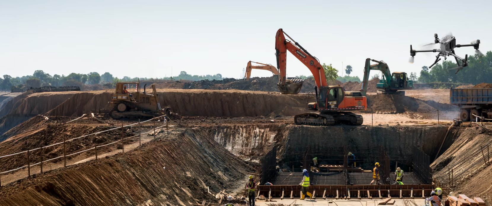
What Makes Construction Site Mapping Hard
Flying a drone over a construction site is the easy part. Getting survey-grade topographic data, volumes, cut-and-fill, and progress data out of a site that changes daily is where teams run into trouble.

Inconsistent GSD on changing terrain
Active sites move daily as crews excavate, fill, and rebuild stockpiles. Apps that fly a fixed height above the takeoff point produce blurry data at the bottom of a cut and collision risk at the top. The outcome is gaps in the model or a full re-flight.

Large sites that exceed one battery
A site spanning tens of hectares, or a linear project like a road or pipeline corridor, does not fit in one flight. Splitting it by hand on a controller introduces overlap gaps and misaligned datasets.

Vertical and oblique surfaces grid missions miss
Stockpile sides, pit walls, retaining structures, and building faces are invisible to straight-down (nadir) patterns. Volume calculations built from top-down geometry alone undercount material.

Water on site returns no elevation data
RGB cameras and LiDAR cannot see through water. Settlement ponds, flooded excavations, and channels leave holes in the model exactly where you need depth for drainage and earthworks.

From raw data to trusted deliverables
Volumes, cut-and-fill, and progress reports have to be compared across flights and dates. Without a system for that, data sits on SD cards and individual laptops.
How Drone Surveys Improve Construction Site Mapping
Drone surveys replace days of ground work with hours of flight time, and the geometry is more complete.
Establish a consistent site baseline
Plan the initial survey around the required GSD, overlap, and terrain to create a reliable reference dataset for the project.
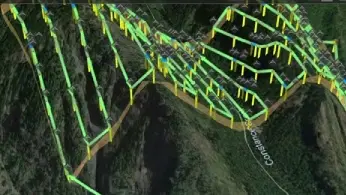
Match the mission to the construction site
Choose the appropriate survey pattern for open areas, linear works, steep faces and other site geometry.
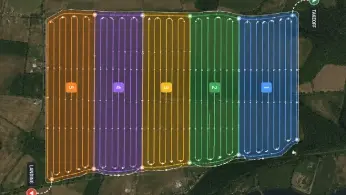
Plan large sites across multiple flights
Prepare extensive construction surveys as one coordinated project, including areas that require more than one flight

Capture steep and difficult surfaces
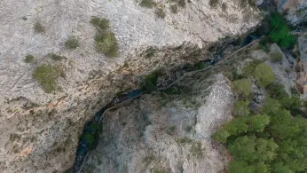
Plan target-facing acquisition for cut faces, retaining walls, and other surfaces that an overhead grid may not represent well.
Include submerged terrain when require
Add a drone bathymetry workflow when the survey needs bottom elevation in ponds, channels or flooded areas.
Prepare the survey before fieldwork
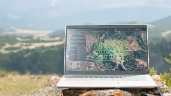
Set the site boundary, terrain data, and mission parameters before deployment, reducing the mission setup required on site.
How Drone Site Mapping Works, Step by Step

Plan the baseline site survey
Import the site boundary and relevant elevation data into UgCS. Set the flight parameters around the required construction survey output and review the mission in 3D before going to the site.

Fly the planned site coverage
Execute the survey using the planned terrain and flight parameters to capture the construction area consistently, including sites with significant elevation change.

Capture the required site geometry
Use the survey pattern selected for the site, whether the job requires overhead mapping, linear coverage, steep-surface capture or another specialist acquisition method.

Create the baseline survey deliverable
Process the captured imagery, LiDAR or other sensor data in the appropriate software to produce the required orthomosaic, point cloud, terrain surface, 3D model or other survey output.

Recommended Drone Solutions for Construction Site Mapping
LiDAR & Photogrammetry
SOFTWARE

UgCS flight planning software with: Terrain-Following, Corridor Scanning, Photogrammetry, LiDAR and Calibration Tools.

Online GIS for Surveyors and Geophysicists.
TRAINING

Advanced technical training and expert support to elevate your team’s expertise and ensure precise, efficient execution of your drone-mission tasks.




Why Construction Survey Teams Choose SPH Engineering

Plan complex surveys on desktop
Build the complete construction survey in UgCS, review the route in 3D, and configure mission parameters before sending the flight team to site.

Plan surveys larger than one flight
Prepare extensive sites as coordinated survey missions instead of creating each flight section independently in the field.

Use project-specific elevation data
Import your own elevation model when it provides a better representation of the construction site for terrain-aware route planning.

Work across supported drone platforms
UgCS supports 100+ drone platforms across DJI, Autel, Freefly, ArduPilot, PX4, and other supported ecosystems.

Plan different survey patterns in one application
Use UgCS for photogrammetry, corridor mapping, Vertical Scan, Circlegrammetry and LiDAR mission planning according to the geometry that needs to be captured.

Work without internet at the survey site
Prepare maps and elevation data in advance and use UgCS in the field where cellular connectivity is limited or unavailable.

Trusted by






%202.svg)
_black%201.svg)





Frequently Asked Questions
How accurate can a drone construction site survey be?
Accuracy depends on the drone and sensor, flight height, GSD, positioning method, ground control, terrain, capture geometry, and processing workflow. UgCS plans the data-acquisition mission, but it does not by itself determine the accuracy of the final survey deliverable.
For example, a University of Patras project using UgCS to map near-vertical rock faces captured imagery at 0.4 cm/pixel GSD and validated the resulting structural measurements against 100 accessible compass measurements. The 0.4 cm figure is image resolution, not positional accuracy.
For projects with a defined accuracy specification, plan the flight and control workflow around that requirement and validate the processed output using appropriate survey control.
How does UgCS handle a construction site that requires multiple batteries?
UgCS can segment long missions based on available flight time, allowing the mission to continue after a battery change. This helps operators plan a large survey as one coordinated mission rather than manually creating independent survey areas for each battery.
The actual number of flights depends on the aircraft, payload, route, weather, operating limits, and site conditions. The mission should still be reviewed before flight.
Can a drone survey measure terrain below water on a construction site?
Standard RGB photogrammetry should not be relied on to measure submerged terrain. SPH Engineering supports drone bathymetry workflows using an integrated echo sounder for water-depth measurement.
In a Mississippi State University-led validation project for NCDOT, the filtered bathymetric dataset achieved 6.59 cm RMSE against LiDAR and GNSS reference data. That result applies to the tested equipment, site, and validation methodology. It should not be treated as guaranteed accuracy for every bathymetric survey.
What is the difference between Terrain Following and True Terrain Following?
Terrain Following plans the drone route using an elevation model. True Terrain Following uses a downward-looking sensor and SPH Engineering's onboard SkyHub system to react to the surface during flight
Can I use a civil engineer’s coordinate system or elevation data in UgCS?
UgCS can import georeferenced elevation data, including GeoTIFF and ArcASCII files. This allows a project-specific DEM, DTM, or DSM to be used for terrain-aware mission planning.
Coordinate and vertical datum handling requires attention. UgCS's built-in SRTM terrain uses WGS84 (EPSG:4326) horizontally and EGM96 vertically. UgCS can accept imported DEMs with other vertical datums, but it does not convert their elevations on import. A different vertical datum can therefore create an offset where imported terrain meets the built-in SRTM data.
For a civil project maintained in a specific local or projected coordinate reference system, prepare compatible georeferenced planning data and preserve the required project CRS in the downstream survey, GIS, or CAD workflow. UgCS should not be treated as a general-purpose coordinate-transformation tool.
What should I do after the initial construction site survey?
The initial survey can serve as the baseline for later progress and earthworks surveys. For recurring monitoring, review the mission against current site conditions before each flight, process each new dataset using a consistent workflow, and compare the resulting surfaces or models over time.
Should I use photogrammetry, LiDAR, or Circlegrammetry for a construction survey?
Choose the method according to the surface and required deliverable.
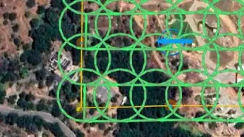
Photogrammetry is suited to image-based mapping of visible surfaces. LiDAR is used when laser scanning better suits the target or required dataset. Circlegrammetry captures convergent oblique imagery around an area and can provide additional viewing angles for complex 3D geometry compared with a conventional nadir grid.
UgCS includes dedicated planning tools for these acquisition methods. More about mapping methods.