Drone Application Solutions by SPH Engineering
- Drone-powered solutions supporting a wide range of mapping, inspection, detection, monitoring, and research applications.
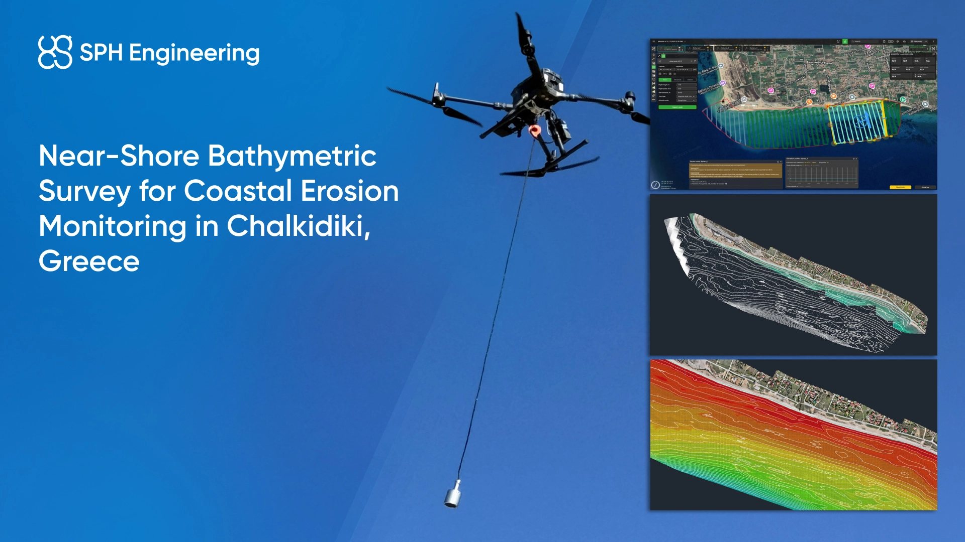
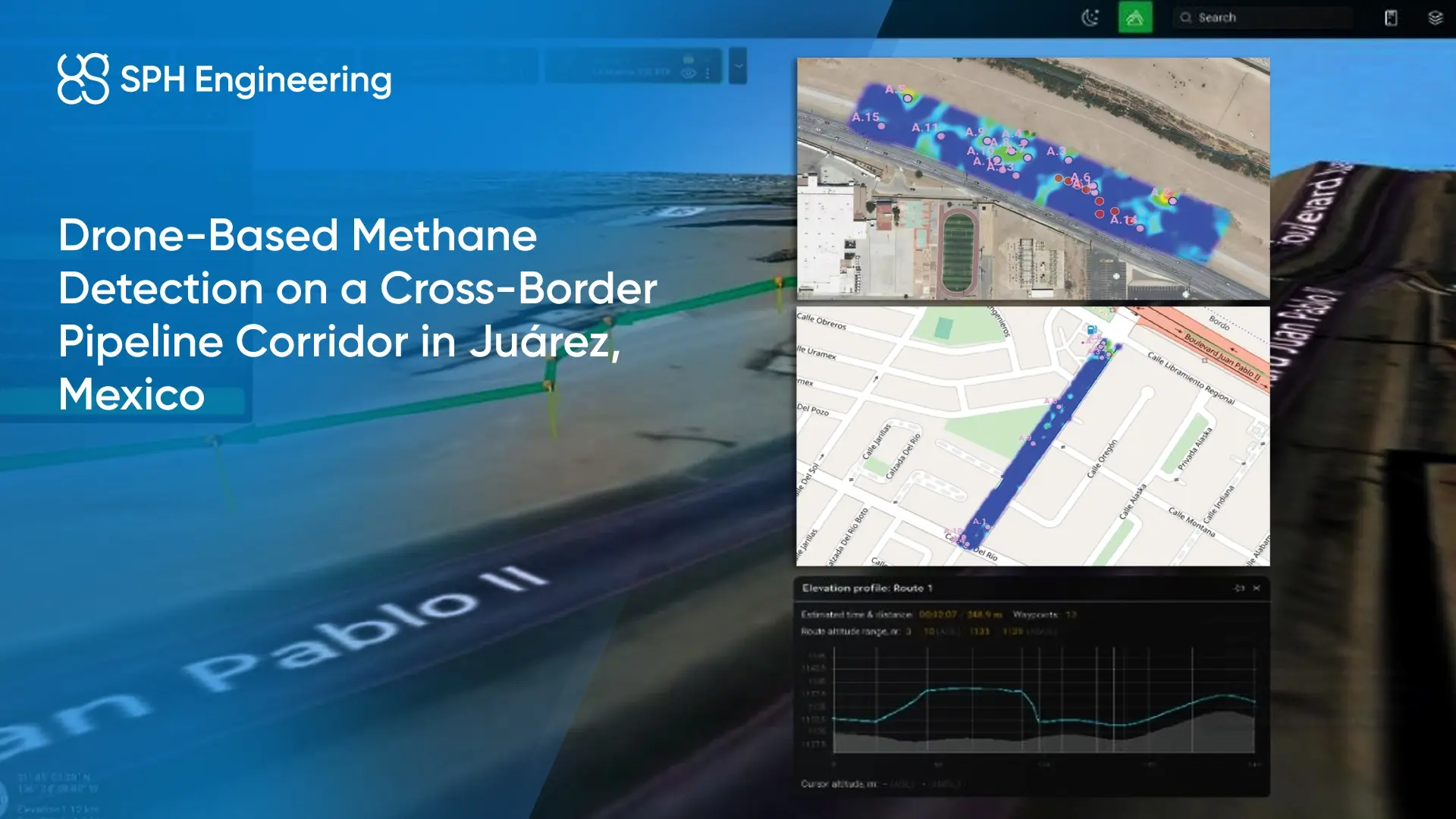
- SPH Engineering enables a wide range of drone applications, from LiDAR mapping and GPR surveys to methane detection, bathymetry, and infrastructure inspection. Our solutions combine advanced software, specialized sensors, and integrated systems to support accurate data collection across diverse use cases. Whether for research, monitoring, or industrial operations, we help turn drone data into actionable insights.


Trusted by






%202.svg)
_black%201.svg)





Applications We Serve
Exploration and Hazard Detection


Industrial Inspection and Infrastructure
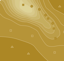
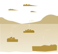
Subsurface Void, Sinkhole, and Hazard Detection
Read More
Subsurface Void, Sinkhole, and Hazard Detection




Water and Environmental Monitoring







Who We Are
.svg)
Global presence company
Based in Latvia (EU) and the USA, with a partner network in over 150 countries
.svg)
Proven drone tech expertise
With a long-term focus on advancing drone applications since 2013

Creator of UgCS software
Leading mission planning and flight control software used worldwide

Trusted by 300+ Universities
Adopted our technologies for education, research, and applied field projects

Operating in-house test facilities
To validate hardware and software systems under real-world conditions

Training and technical support
Enabling organizations to use our solutions efficiently and reliably