UAV-Based Solutions for Academic & Scientific Research
Reach remote or hazardous environments and capture reliable data with fully integrated UAV sensing systems trusted by universities and scientific research institutions globally.

Challenges Solved by UAV Technology
Difficult terrain, long field campaigns, data inconsistency, and environmental sensitivity often limit scientific research and reduce dataset reliability. SPH Engineering provides integrated UAV systems that improve access, speed up data collection, ensure repeatability, and reduce site disturbance.

Limited research site access
Remote, hazardous or hard-to-reach terrain often prevents direct measurement and sampling.

Slow field data collection
Traditional methods require long expeditions and extensive field crews.

Inconsistent manual research data
Manual data acquisition can reduce repeatability over time.

Environmental constraints
Minimizing human impact in sensitive ecosystems is a growing priority.
Application of UAV Technology in Scientific Research
Researchers across disciplines use drone-based sensing systems to collect geophysical and environmental data faster and with higher spatial density and accuracy than traditional methods.
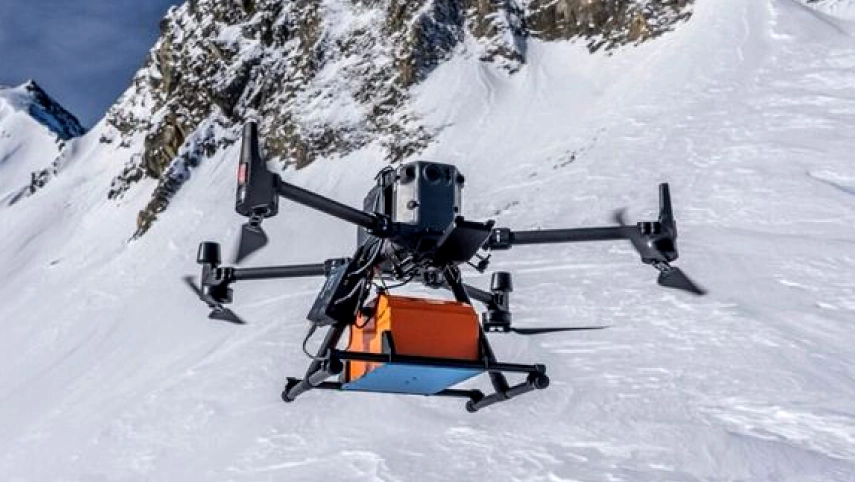
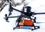
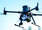
Glaciology & Snow/Ice Studies
GPR and automated terrain-following enables accurate cryospheric mapping, including ice thickness and snowpack measurements, crevasse patterns, and glacier morphology in high-risk alpine environments.
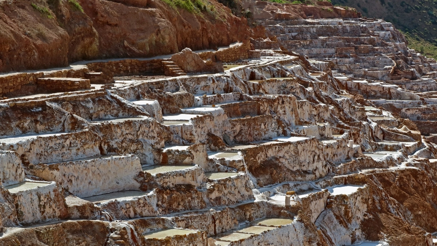
Archaeology & Cultural Heritage
UAV-based magnetometry and GPR enable aeromagnetic surveys and non-intrusive mapping of buried structures and protected heritage sites with precise georeferencing.
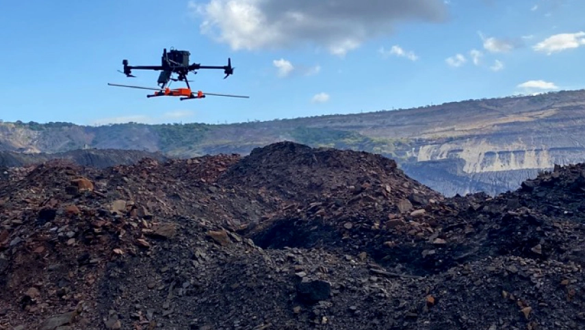
Mineral Exploration & Soil Mapping
UAV geophysics and imaging improve the identification of structural patterns and mineralized zones in remote locations.
Universal R&D Platforms
Universities use UAV platforms to test and validate new sensing technologies. SkyHub allows researchers to equip the same UAV platform with different sensors for various survey applications, including magnetometers, GPR, gas detectors, echo sounders, and other payloads.
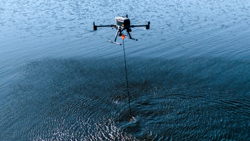
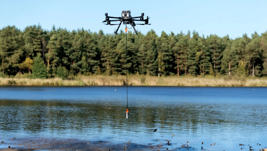
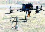
Water Depth Mapping (Bathymetry)
Drone-mounted echo sounders map shallow lakes, reservoirs, and rivers quickly and safely. UAV bathymetric surveys provide high-resolution depth data where boat access is limited.
Hydrology
Drone-based sensors support hydrological research by measuring river bathymetry, water levels, water surface velocity, and sediment dynamics with repeatable surveys across rivers and floodplains.
Recommended Drone Solutions for Academic & Scientific Exploration
HARDWARE
Drone-based GPR system enables non-contact subsurface mapping of glaciers, buried utilities, and voids in areas inaccessible or unsafe for ground surveys.
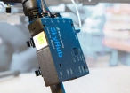
SkyHub is a drone onboard computer that ensures reliable sensor integration and precise, synchronized data collection during every flight.
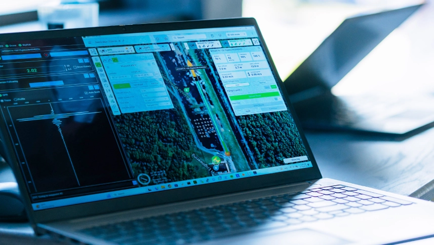
SOFTWARE

Desktop drone flight planning for the most demanding pilots.

Radsys GPR data processing software for Zond GPRs.

Assess & process GPR and other sensor data.
TRAINING

Advanced technical training and expert support to elevate your team’s expertise and ensure precise, efficient execution of your drone-mission tasks.
HARDWARE
Drone-mounted echosounders provide accurate bathymetric data for depth measurement, sediment monitoring, and underwater terrain mapping.
SkyHub is a drone onboard computer that ensures reliable sensor integration and precise, synchronized data collection during every flight.
SOFTWARE
Desktop drone flight planning for the most demanding pilots.
Assess & process GPR and other sensor data.

Bathymetric data processing software.

Hydrographic survey mapping software.
TRAINING
Advanced technical training and expert support to elevate your team’s expertise and ensure precise, efficient execution of your drone-mission tasks.
HARDWARE
Advanced airborne systems designed for accurate radiation and elemental mapping. Enables efficient and safe data acquisition across complex or hazardous terrains.
SkyHub is a drone onboard computer that ensures reliable sensor integration and precise, synchronized data collection during every flight.
SOFTWARE
Desktop drone flight planning for the most demanding pilots.

Radiometric data processing suite for Medusa Radiometrics hardware.
Assess & process GPR and other sensor data.
TRAINING
Advanced technical training and expert support to elevate your team’s expertise and ensure precise, efficient execution of your drone-mission tasks.
HARDWARE
Drone magnetometers enable fast magnetic anomaly mapping for mineral exploration, UXO detection, and ferrous object localization over large areas.
SkyHub is a drone onboard computer that ensures reliable sensor integration and precise, synchronized data collection during every flight.
SOFTWARE
Desktop drone flight planning for the most demanding pilots.
Assess & process GPR and other sensor data.

Online GIS for Surveyors and Geophysicists.

Geophysical data processing and interpretation software.

Geophysical data processing and interpretation software (gravity/magnetics)
TRAINING
Advanced technical training and expert support to elevate your team’s expertise and ensure precise, efficient execution of your drone-mission tasks.


.jpg)


Why Researchers and Universities Choose Our Solutions

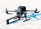
Compact UAV systems deployable in remote research environments
Drone-mounted sensor systems enable high-resolution data acquisition in glaciers, inland waters, arid regions, and post-disaster zones without complex field logistics.


Survey-grade accurate data you can trust
All payload data are georeferenced and time-synchronized using GNSS/RTK positioning, ensuring high spatial accuracy and reliable comparison over time.

Trusted by over 70 leading Universities and Research Institutes
SPH Engineering systems are used by universities and research institutes, including teams at Oxford, Stanford, the University of Lausanne and others, in permafrost analysis, ice and snow studies, hydrological data acquisition, archaeological prospection, and climate monitoring projects worldwide.

Trusted by
SPH Engineering technologies are used by over 70 leading universities, research institutes, and technology partners.


%202.svg)
_black%201.svg)


Webinar Recordings


FAQs
What sensors can be mounted on drones for research?
SPH Engineering supports the integration of ground-penetrating radars, magnetometers, echo sounders, methane and gas detectors, water samplers, metal detectors and gamma-ray spectrometers.
Can drone systems be used in extreme environments (polar regions, high mountains, offshore)?
Yes. Many academic teams operate SPH Engineering’s systems in glaciers, alpine regions, marine environments, deserts, and other demanding field conditions. The combination of terrain following, altitude control, and robust data logging enables reliable field performance.
Do you offer educational pricing or special conditions for universities?
Yes. Universities and research institutions can access academic pricing tiers and project-specific conditions. Contact us to discuss your research needs.
Can we integrate your solutions into existing research workflows and GIS software?
Yes. Data is recorded in standard formats (e.g., SEG-Y, CSV, NMEA-0183, SVLOG), allowing easy integration with GIS environments, scientific analysis tools, and existing institutional workflows.
