
Drone Construction Monitoring, Volumetrics and Progress Tracking
Construction teams fly repeatable drone surveys with UgCS, then store, compare, and share the results in DroneGIS to track progress, measure stockpile and excavation volumes (cut-and-fill), and document the site over time.
Repeatable missions: re-fly the identical path, altitude, and overlap every cycle.
Works with DJI, Autel, Freefly, ArduPilot, PX4 & NDAA compliant drones, including 100+ drone platforms.
For Utility Mapping, Bathymetry, and pre-construction applications.
5,000+ professionals trained, customers in 150+ countries.

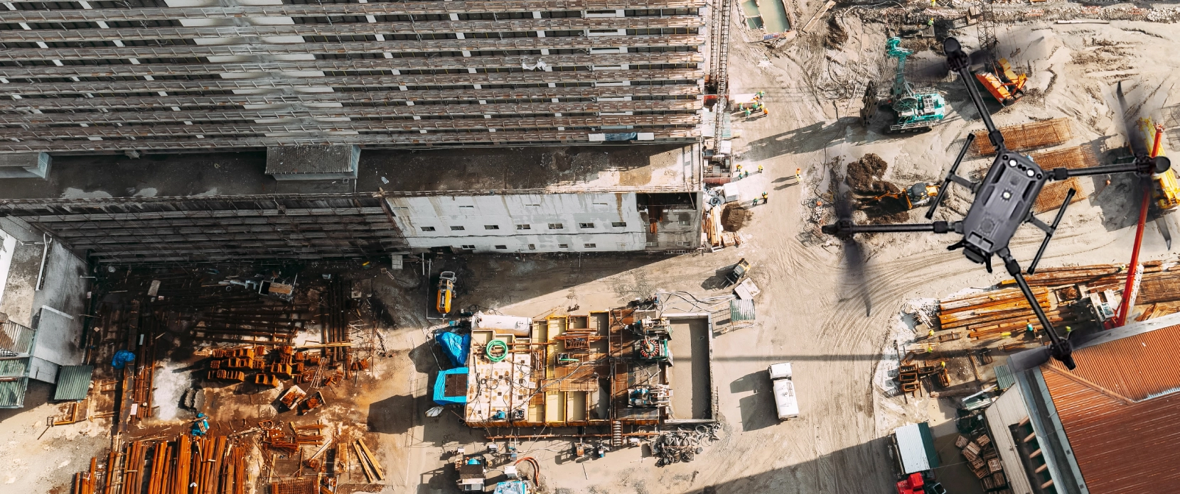
Why Construction Monitoring Is Hard to Get Right
Site monitoring means repeating the same survey for months, not running one and moving on. The hard part is making each one line up with the last so the numbers you report can be trusted.

Surveys that don't line up
If every flight uses a slightly different path, altitude, or overlap, the datasets don't register against each other. Comparing them then measures the difference between two flights, not the change on the ground.

Inconsistent GSD on a site that changes daily
Excavation and fill change the surface between visits. Apps that fly a fixed height above the takeoff point produce uneven pixel size.

Incomplete stockpile and excavation geometry
Straight-down (nadir) patterns see the top of a stockpile or the rim of a cut, not the sides. Volumes built from top-down geometry alone undercount material.

Data scattered across SD cards and laptops
Progress and volume reports have to be compared across flights, dates, and teams. Without one place to hold and compare surveys, data sits on flash drives and individual machines and stakeholders never see it.

Reporting cadence versus field time
Weekly or monthly progress and volume reports take too long when each one means a ground crew walking the site. The monitoring loop has to be fast enough to keep up with the build.
How Drones Improve Construction Monitoring & Volumetrics
Drone surveys turn site monitoring into a repeatable loop: fly the same mission, measure the change, report it, repeat.
Build comparable surveys over time
Reuse established acquisition parameters as the basis for recurring surveys so datasets follow a consistent monitoring methodology.
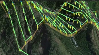
Measure material movement between surveys
Create updated surface datasets for stockpiles, excavations, and earthworks for downstream volume and cut-and-fill analysis.
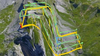
Adapt missions as the site changes
Review saved missions against current terrain and site conditions before each repeat flight.
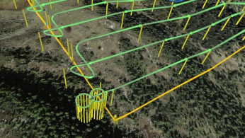
Keep monitoring surveys organized
Use DroneGIS to group processed mapping datasets by project and survey date instead of managing each survey separately.
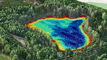
Compare site conditions between dates
Review successive elevation datasets to see how excavation, fill, and material movement have changed the working surface.
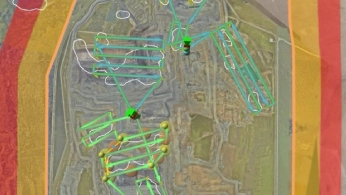
Share monitoring results through a browser
Use DroneGIS to make processed spatial data available to project stakeholders without requiring them to use UgCS.
The Construction Monitoring Workflow, Step by Step

Start with the baseline survey
Use the initial site survey as the reference and save the acquisition parameters needed for the monitoring campaign.

Review the mission before each flight
Check the saved mission against current terrain, structures and site conditions. Update the route or elevation data where excavation, fill or other changes affect the previous plan.

Process the latest survey
Process the new imagery or LiDAR data using the project’s established workflow to create the surfaces, models and volume or cut-and-fill outputs required for monitoring.

Compare and report in DroneGIS
Add the processed results to DroneGIS to organize surveys by date, compare site conditions over time and share mapped results with project stakeholders

Recommended Drone Solution for Construction Monitoring
LiDAR & Photogrammetry
SOFTWARE

UgCS flight planning software with: Terrain-Following, Corridor Scanning, Photogrammetry, LiDAR and Calibration Tools.

Online GIS for Surveyors and Geophysicists.
TRAINING

Advanced technical training and expert support to elevate your team’s expertise and ensure precise, efficient execution of your drone-mission tasks.



Why Construction Teams Choose UgCS and DroneGIS for Monitoring

Reuse established monitoring missions
Save the survey in UgCS and use it as the starting point for later monitoring flights, keeping the required acquisition parameters consistent between surveys.

Adapt missions as the site changes
Review terrain data and route geometry before each repeat survey so excavation, fill, stockpile movement, or new structures can be reflected in the current mission.

Keep flight planning and monitoring data connected
Use UgCS to plan and execute the survey, then DroneGIS to organize and view the processed spatial datasets produced from each monitoring flight.

Organize surveys by project and date
Keep successive mapping datasets within the same DroneGIS project so monitoring results are easier to find and review over time.

Compare changing site surfaces
Use processed elevation datasets from different survey dates to review changes in earthworks, stockpiles, and other site surfaces.

Share results through a browser
Make processed project data available through DroneGIS so stakeholders can review mapped results without needing UgCS or the original processing software.

Trusted by






%202.svg)
_black%201.svg)





Frequently Asked Questions
How can drones be used to track construction progress over time?
Start with a baseline survey, then capture the site again at intervals appropriate to the project. Using comparable acquisition and processing methods makes it possible to review successive orthomosaics, elevation models, point clouds, or 3D models and identify how the site has changed.
UgCS is used to plan the repeat survey missions. Processed datasets can then be added to DroneGIS, where elevation datasets from different survey dates can be reviewed and compared.
How accurate are drone stockpile and excavation volume measurements?
There is no single accuracy percentage that applies to every drone stockpile survey. Results depend on factors including surface reconstruction, GSD or point density, positioning and control, stockpile geometry, occlusion, processing settings, and how the stockpile boundary and base surface are defined.
UgCS supports mission planning for stockpile data capture, but the final volume is calculated from the processed survey data rather than by UgCS itself.
BHP, for example, uses drone surveys for weekly stockpile volume measurement over an area of approximately 1.2 × 1 km. The published BHP case study demonstrates the operational workflow but does not report a universal stockpile-volume accuracy percentage.
How often should a construction site be surveyed with a drone?
There is no universal survey interval. The appropriate cadence depends on how quickly the site changes and how often the project team needs updated information.
A rapidly changing earthworks area may justify more frequent surveys than a site with limited material movement. The monitoring schedule should be based on the decisions the data needs to support rather than using the same interval for every project.
What if a saved drone mission no longer fits the construction site?
Review it before flying again. Excavation, fill, stockpile movement, temporary structures, and other site changes can make an older route or terrain model unsuitable.
Use the saved mission as a starting point, then check the current terrain data, route, altitude, obstacles, and site restrictions. Update the mission where necessary before the next survey.
What is DroneGIS used for in construction monitoring?
DroneGIS is a browser-based platform for organizing, viewing, and sharing processed spatial data. A project can contain datasets such as orthomosaics, elevation models, point clouds, 3D models, and design data.
For construction monitoring, this allows survey results from different dates to be kept within the same project and reviewed together. UgCS handles mission planning and flight. DroneGIS does not replace photogrammetry or LiDAR processing software.
Can I share DroneGIS construction data with people who do not use UgCS?
Yes. DroneGIS projects can be shared through a web link and viewed in a desktop or mobile browser. Access can be public or limited to registered users.
This allows project stakeholders to review mapped results without installing UgCS or the software originally used to process the drone data.
Do I need a new flight plan for every construction monitoring survey?
Not necessarily. An existing UgCS mission can provide the starting point for repeat surveys and help maintain consistent acquisition parameters.
However, the mission should be reviewed before each flight. If terrain, structures, stockpiles, operating areas, or other site conditions have changed, update the route accordingly. Consistency is useful for comparison, but the mission must reflect current site conditions.