
Drone-Based Solutions for Stockpile Tramp Metal Detection
SPH Engineering's drone-based magnetometer surveys help locate ferrous tramp metal and lost ground-engaging tools (GET) in stockpiles and run-of-mine (ROM) piles before material reaches the crusher.
The UAV-based magnetic survey produces a georeferenced anomaly map with prioritized target coordinates for the recovery crew.

Challenges in Stockpile Tramp Metal Detection Solved by UAV Technology
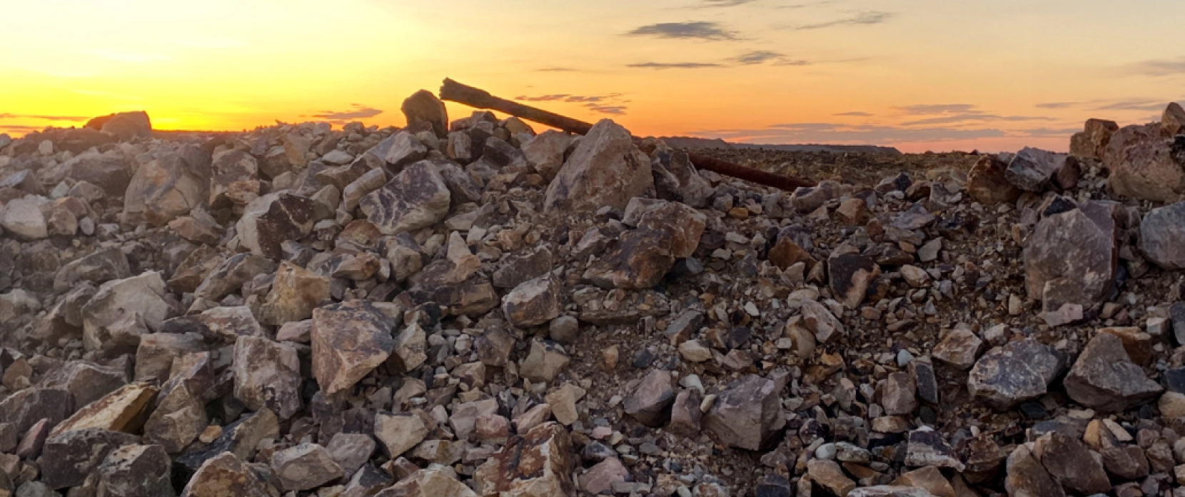
Tramp metal in stockpiles and run-of-mine (ROM) piles is a recurring source of crusher damage and unplanned downtime at active mines. Lost ground-engaging tools (GET), drill rods and bits, bucket teeth, and other ferrous fragments can mix into the material stream and damage critical processing equipment when they reach the crusher.

The financial cost of crusher disruption
The cost of crusher disruption at a single mining operation can range from hundreds of thousands to several million USD per year, depending on production rate, downtime duration, and repair requirements. At one large copper mine in Kazakhstan, average crusher delays added up to an estimated $650,000 in lost production each year. At a Peruvian copper mine, the figure was around $5.73 million per year, and at a Brazilian iron ore mine, around $3.65 million per year.

Uncrushable ferrous items that downstream controls cannot handle
The most damaging tramp metal is often large, dense, and uncrushable: drill rods, drill bits, excavator bucket teeth, dozer ripper teeth, and similar hardened-steel components. Conveyor metal detectors and overband magnets remain important downstream controls, but they act later in the material-handling chain, when the object is already close to the crusher or mill. At Telfer mine in Western Australia, 95% of tramp metal incidents came from drill rods or bits lost in 12–24 meter blast holes.

Buried debris that walking inspection cannot see
Lost ground-engaging tools can end up buried inside the stockpile and remain hidden from the surface. Handheld inspection is slow, depends on operator coverage, and can be unsafe near active loaders and haul trucks.
At the same Telfer mine, around 90% of lost ground-engaging tools were found buried inside designated stockpiles. The exact percentage is site-specific, but the problem is common: many lost ferrous items are not visible from the pile surface.

Crusher damage, production stoppages and safety hazards
A single uncrushable ferrous object reaching the primary crusher or mill can damage liners, mantles, and feeders, and trigger production stoppages for inspection and repair. Tramp metal also creates documented safety risks. Mine safety regulators have published formal procedures for clearing tramp-metal blockages from crushers, because high-energy ejection of trapped material during clearance has caused multiple fatal accidents. Documented examples include an MSHA fatality in 2013 where a plant operator was killed by an excavator bucket tooth ejected from a cone crusher, and a 2020 fatality in Australia during cone crusher clearance.
UAV Magnetometry Applications for Stockpile Inspection
Designated GET stockpile surveys before reclaim
When a mine isolates material that may contain lost ground-engaging tools and moves it to a designated GET stockpile, drone magnetic surveys can scan the pile and produce a georeferenced map of magnetic anomalies. The recovery crew uses these targets to remove the tools before the material moves to the crusher.
ROM pile and product stockpile sweeps
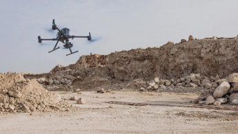
For run-of-mine piles, ore stockpiles, and other problem stockpiles, drone magnetic surveys cover the pile footprint and help locate ferrous debris that walking inspection cannot find. Outputs include a georeferenced anomaly map with selected target coordinates and magnetic response values.
Post-crusher problem-pile sweeps
After a crusher disruption, suspect material is often isolated for inspection. The affected pile is surveyed before being reintroduced to the crushing circuit, and any remaining ferrous debris is located and removed.
Recommended Drone Solutions for Stockpile Tramp Metal Detection
Magnetometer Kit
HARDWARE
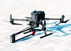
Drone magnetometers enable fast magnetic anomaly mapping for mineral exploration, UXO detection, and ferrous object localization over large areas.
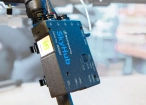
SkyHub is a drone onboard computer that ensures reliable sensor integration and precise, synchronized data collection during every flight.
SOFTWARE

Desktop drone flight planning for the most demanding pilots.

Assess & process GPR and other sensor data.

Online GIS for Surveyors and Geophysicists.

Geophysical data processing and interpretation software.

Geophysical data processing and interpretation software (gravity/magnetics)
TRAINING

Advanced technical training and expert support to elevate your team’s expertise and ensure precise, efficient execution of your drone-mission tasks.


Why Mine Operators Choose Our Tramp Metal Detection Solutions

Low flight altitude improves detectability
A magnetometer is most effective when the sensor is close to the ferrous object. According to physics, doubling the distance between sensor and target reduces the magnetic signal to roughly one-eighth. That is why magnetic surveys of small subsurface objects are flown as low as the drone can safely operate, and SkyHub’s True Terrain Following (TTF) maintains that clearance automatically as the pile shape changes. Drill bits, bucket teeth, and similar items become more visible in the data when the sensor is close to the surface.

Survey from solid ground while production keeps running
Stockpile yards sit inside live mining operations. The drone operator works from a safe area at a distance from the pile, while loading of the specific pile being surveyed is typically paused for 30 minutes to a few hours. The rest of the site keeps running. Personnel stay clear of the active material flow, and the survey itself does not require anyone to walk on the pile.

Gradiometer configuration suppresses site noise
Active mine sites are magnetically busy. Ore stockpiles, conveyor drives, overhead power, and parked equipment all add to the background reading and can hide smaller targets.
Magnetometers in gradiometer configuration, such as SPH Engineering’s MagNIMBUS, compare readings between sensors rather than relying only on a single absolute value. Broad background interference is reduced in the gradient response, while local ferrous targets can remain prominent because they produce stronger gradients. Good survey timing, stand-off from large steel objects, and flight-line planning still matter.

Prioritized target list ready for the recovery crew
Each picked target is exported as a georeferenced point with high-accuracy GNSS positioning when RTK/PPK is used. The recovery crew loads the coordinates into the GPS guidance system on the appropriate recovery machine (loader, excavator, or specialized equipment used to dig out the targets), then drives to each marked location and recovers the object. No manual transcription, no copying numbers across systems.

Trusted by
SPH Engineering technologies are used by over 70 leading universities, research institutes, and technology partners.






%202.svg)
_black%201.svg)





Your Questions About Drone Magnetometry for Stockpile Tramp Metal Detection
How deep can a drone magnetometer detect ferrous items buried in a stockpile?
Detection depth depends on the size and mass of the target, the sensor-to-target distance, and the magnetic background at the site.
At this open-pit mine survey, loader bucket teeth were detected at depths up to 3.5 meters within crushed rock, and larger items like drill rods would be expected to produce stronger responses. Because magnetic signal strength drops sharply with distance, flying the sensor low above the pile makes a bigger difference to detection than any specification on a sensor datasheet.
Does drone magnetometry replace the conveyor metal detector or the overband magnet?
No. They protect different stages of the same process.
The drone survey helps catch large, dense items like drill rods and bucket teeth in the stockpile, before any material moves onto the belt. Belt-mounted detectors and overband magnets catch smaller items that pass through the survey or get added later in handling. Most operations keep both.
Does this work on iron ore or magnetite-rich stockpiles?
It works best when the stockpile material itself is weakly or non-magnetic. Coal, aggregate, limestone, dolomite, gold-bearing rock, and copper porphyry are all good cases. Strongly magnetic materials such as magnetite-rich iron ore can produce so much background signal that small targets get overwhelmed in the noise. The system can still be useful on these sites for finding large items like drill rods, but smaller targets like bucket teeth may be much harder to differentiate. The best way to know is to fly a short test survey on a representative pile before specifying a system.
How does the system handle interference from active mine equipment?
Active mine sites have multiple sources of magnetic interference: haul trucks, conveyor drives, power lines, steel structures, and parked machinery. Surveys are typically scheduled when nearby heavy equipment can be parked or routed away from the immediate survey area, and UgCS mission planning helps design flight lines that minimize the effects of anything that must remain in place. SPH Engineering’s MagNIMBUS magnetometer in gradiometer configuration can reduce broad-scale background interference, but where interference is significant, scheduling and survey design do most of the work.
How long does a stockpile survey take?
A typical GET stockpile is surveyed in a single drone flight on one battery, usually 20 to 40 minutes, depending on pile size, drone, and line spacing. Larger stockpiles use multiple flights and battery swaps, and a full survey, including setup, flight, and initial data review, usually takes a few hours to a day, depending on pile size and site logistics.
What does the survey output look like, and how does the recovery crew use it?
The output is a georeferenced anomaly map and a list of target coordinates with signal-strength values. Coordinates are uploaded to the GPS guidance system on the recovery machine, the crew drives to each marked location, confirms the target on the ground, and recovers the object. The cleaned stockpile is then released to the crushers.
Can our geophysicists or GIS team work with the data?
Yes. Magnetic data exports in standard formats (CSV, GeoTIFF, shapefile) and can be processed in industry-standard tools, including GeoHammer, SENSYS MAGNETO, and Oasis Montaj. Anomaly maps and target lists can be imported directly into the mine's existing GIS, reporting, and recovery workflows.