
Drone Survey Kits and Sensors for the Construction Industry
From the first site survey to handover, construction teams use SPH Engineering's drone software and integrated kits to plan flights, map sites in 3D, track progress and volumes, detect what is buried, and measure water on and around the project. One flight-planning platform, UgCS, runs every mission type on more than 100 drone platforms, online or fully offline.
UgCS flight-planning software plans every mission type on 100+ drone platforms, including NDAA-compliant Blue UAS.
Industry-leading terrain following holds constant ground clearance over changing site terrain.
Runs fully offline on remote sites with no connectivity.
5,000+ professionals trained, customers in 150+ countries.

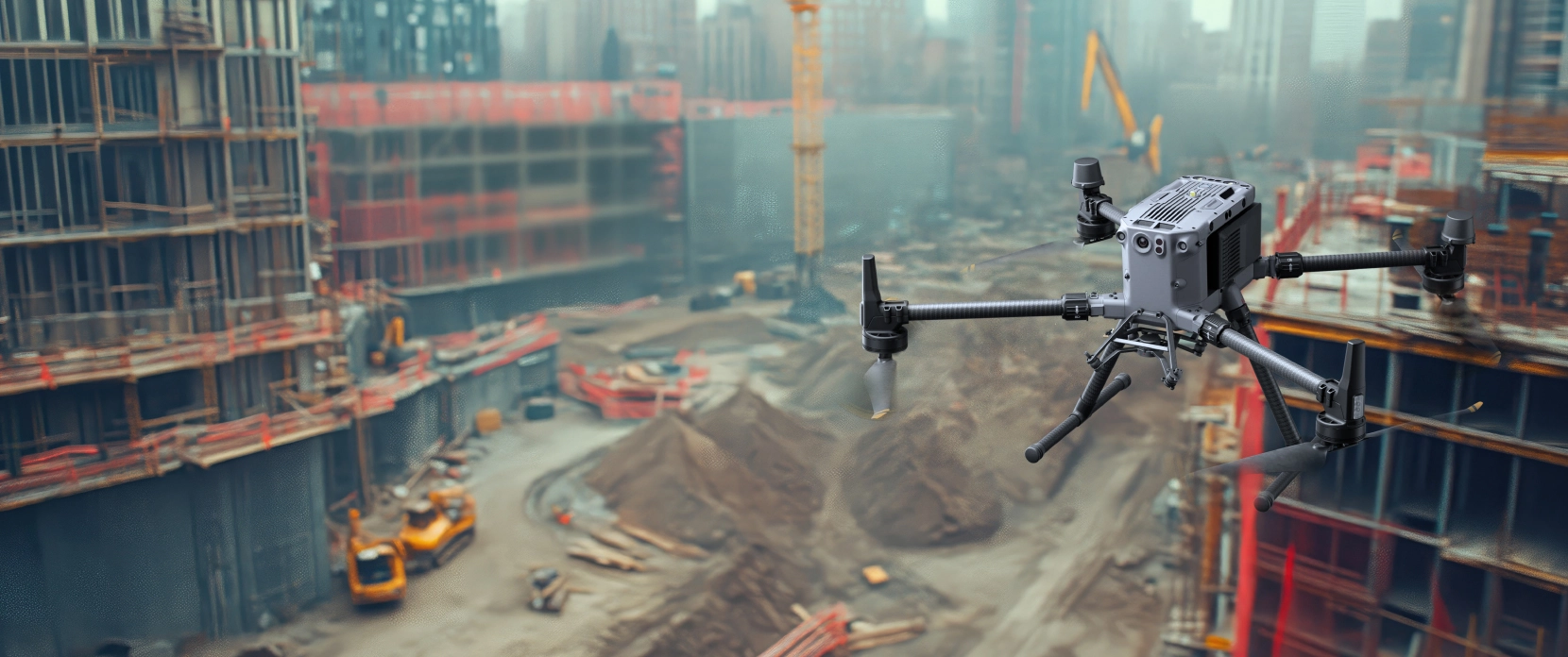
What Construction Teams Need From Drone Mapping
A drone is only useful on a construction site if it produces data engineers can act on, across a site that changes every day.

Survey-grade data, not just imagery
Volumes, cut-and-fill, and as-builts have to hold up under audit.

Consistency over time
Terrain, stockpiles, and excavations move, so surveys must stay comparable across months.

The whole site
Earthworks, structures, buried utilities, and site water all need measuring.

One workflow
Switching tools and retraining crews for each task cancels out the time a drone is meant to save.
Drone Applications Across the Construction Project
Four applications cover the project from planning to environmental compliance. Each runs on UgCS, with the integrated kit suited to the task.
Site Mapping and Planning
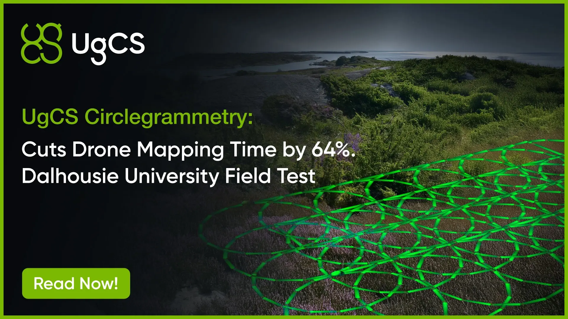
Capture a survey-grade 3D model of the whole site. Photogrammetry and circlegrammetry (circle photogrammetry), LiDAR, and optional bathymetry produce orthomosaics, terrain models, and full geometry of earthworks, stockpiles, and structures. UgCS terrain following holds constant ground sampling distance from flat pads to steep cut faces.
Tools: UgCS, with the optional Bathymetry Kit where on-site water is involved.
Construction Monitoring
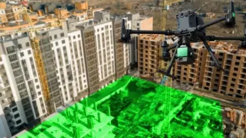
Track progress and volumes over the life of the build. Repeatable UgCS missions re-fly the identical path each cycle, so surveys line up for clean comparison, and DroneGIS stores them to measure stockpile and excavation volumes and share progress with stakeholders in a browser.
Tools: UgCS + DroneGIS.
Subsurface and Technical Assessment
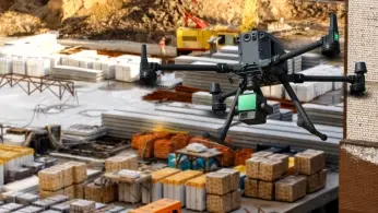
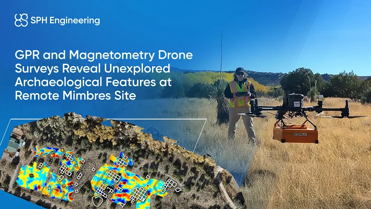
Detect what is below the surface before you dig. GPR for construction finds metallic and non-metallic utilities, voids, and buried features; magnetometers find ferrous objects and UXO to about 7 m. Both fly on the same drones, planned in UgCS with low-altitude terrain following for clean drone geophysical survey data.
Tools: GPR Kit, Magnetometry Kit.
Water and Environmental Analysis
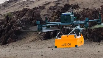
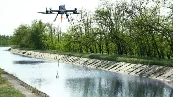
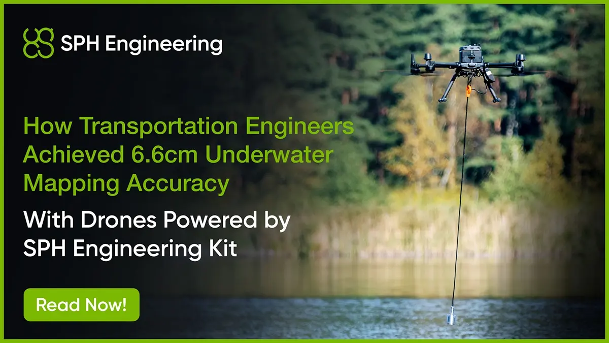
Measure the water a site creates and depends on. The Bathymetry Kit maps the bed of detention and sediment ponds, channels, and flooded excavations for capacity, scour, and sediment monitoring, and produces the cross-sections drainage and flood models need.
Tools: Bathymetry Kit.
Why Construction Teams Choose SPH Engineering

1. One platform for every mission
Photogrammetry, LiDAR, circlegrammetry, GPR, magnetometry, and bathymetry are all planned in UgCS. One tool and one trained crew cover the whole project.

4. Works offline
Plan and fly on remote sites with no connectivity. UgCS installs and runs locally, not in a browser.

2. Industry-leading terrain following
Import your own high-resolution DEM and hold exact ground clearance across fast-changing site terrain, down to the low altitudes geophysical and bathymetric work need.

5. From flight to decision
Data flows into DroneGIS and into the GIS, photogrammetry, and hydraulic tools your teams already use, with open export formats and no lock-in.

3. 100+ drone platforms
DJI, Autel, Freefly, Inspired Flight, ArduPilot, and PX4, including NDAA-compliant Blue UAS. Switch airframes without switching software or retraining pilots.

6. 5,000+ professionals trained, 150+ countries
Direct access to the team that builds the software, with training and long-term update support included.


Trusted by






%202.svg)
_black%201.svg)





Frequently Asked Questions
Can I work offline on remote sites?
Yes. UgCS installs and runs locally. Cache maps and elevation data before going to site and fly complete missions with no internet connection.
What accuracy can I expect?
It depends on the method and setup. Photogrammetry with RTK and ground control routinely reaches 1 to 3 cm horizontal and 2 to 5 cm vertical, LiDAR delivers centimeter-accurate elevation, and drone bathymetry was validated to 6.6 cm in independent research. The individual application pages give the detail for each.
How are drones used in construction?
Drones are used throughout the construction lifecycle for site surveying, 3D mapping, progress monitoring, stockpile and excavation volume measurement, cut-and-fill analysis, structural capture, utility detection, and water surveys. UgCS plans repeatable photogrammetry, LiDAR, circlegrammetry, GPR, magnetometry, and bathymetry missions, including terrain-following surveys over changing site elevations. Survey data can then be processed into orthomosaics, point clouds, terrain models, volume calculations, and other engineering deliverables.
What does a construction drone survey cost to get started?
The cost depends on the survey method and the equipment you already have. A team with a compatible survey drone and camera can use UgCS for photogrammetry and construction monitoring without adding a specialized sensor. LiDAR surveys require a LiDAR payload, while subsurface or water surveys may require an integrated GPR, magnetometer, or bathymetry system with additional hardware such as SkyHub and an altimeter. SPH Engineering can recommend a configuration based on the site, required deliverables, existing drone fleet, and sensor requirements rather than applying one fixed construction-survey package.
Can drones detect utilities before excavation?
Yes, in suitable site conditions. Drone-mounted GPR can detect both metallic and non-metallic buried utilities when there is sufficient contrast between the target and the surrounding ground. Magnetometers can complement GPR when the target contains ferrous material, such as steel pipelines or tanks. SPH Engineering uses UgCS for automated survey planning and SkyHub-based terrain following and data logging in airborne geophysical workflows.
Detection depth and reliability depend on factors including utility size and material, antenna frequency, soil conductivity, moisture, survey height, and line spacing. Clay-rich, saline, or saturated ground can significantly reduce GPR penetration. For critical excavation decisions, drone-based geophysical results should therefore be combined with other locating methods or physical verification where the required confidence level demands it.
Where do I start?
Pick the application closest to your need (site mapping, monitoring, subsurface, or water) from the links above, or contact us and we will help you scope the first survey.