
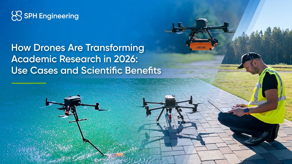
Universities and research institutions increasingly use drones for UAV survey and data collection in places that are dangerous, costly, or impractical to survey using conventional methods. Ground-penetrating radar can be flown over crevassed glaciers without putting researchers on unstable ice. Archaeological sites on rockfall-prone cliffs can be mapped without relying entirely on rope-access surveys, while wildlife and vegetation can be monitored with less disturbance to sensitive habitats.
Drawing on published studies and documented field projects, this article examines drone use in the natural sciences, engineering, and other areas of academic research. Across these fields, UAV-based remote sensing and photogrammetry have extended survey coverage, made repeated measurements more practical and enabled new approaches to field research.
Key takeaways
- In earth science, ground-penetrating radar and magnetometers let researchers see beneath glaciers, snowpack, and rock formations that ground surveys can't safely or efficiently cover.
- Archaeologists and ecologists use that same non-invasive approach to map buried ruins and monitor wildlife without disturbing either one.
- In agriculture and hydrology, repeatability matters more than resolution. Flying the identical path each time is what makes measurements comparable across a season or a flood.
- Drones are a teaching tool as much as a research one, with students planning a real flight, flying it, and building their own analysis from data they collected.
- Drones are also a research subject in their own right, spanning atmospheric, marine, structural, and robotics work, from weather profiling to bridge inspection to the navigation algorithms behind NASA's Mars helicopter.
Data collection and field monitoring
Drones extend where and how often researchers can collect data, particularly in terrain that is remote, hazardous, or sensitive to disturbance.
- A two-person UAV crew can survey 60 to 200 line-kilometers a day, compared with 15 to 20 on foot. This is why geophysicists at the University of Nevada, Reno used UAV magnetometry to map blind geothermal systems in terrain a ground crew could barely cross.
- RTK-corrected surveys can resolve features at sub-centimeter scale. A vertical photogrammetry survey of 85-degree cliffs at Acrocorinth, Greece reached a 0.4-centimeter ground sampling distance in a single flight day.
- A drone can observe wildlife or fragile terrain without a person or vehicle disturbing the site, and the same flight path can be flown again later to build a genuine time series rather than a single snapshot.
Drones in STEM education
A single drone assignment can fold GPS, remote sensing, and basic autonomy into one STEM (science, technology, engineering, and mathematics) project, rather than teaching each as a separate lab exercise.
- Students plan real missions and troubleshoot the same constraints, battery limits, wind, GPS accuracy, that professional survey crews work around.
- At Embry-Riddle Aeronautical University, aviation students fly their own cemetery surveys, then train and test their own AI models to count headstones from the imagery, reaching 97 percent ground-truth accuracy in the program's first semester.
- The same coursework touches geography, physics, statistics, and machine learning, giving students working exposure to remote sensing and data classification within one project.
Environmental, Ecological, and Wildlife Research
Ecologists use drones for wildlife monitoring and to track vegetation and climate stress, reducing the disturbance a ground survey team would otherwise cause.
- Multispectral imagery reveals plant stress invisible to the eye. A University of Oxford team studying tropical forest adaptation to climate change flies a dual-camera UAV across sites in Mexico, Peru, Brazil, Ghana, Gabon, Malaysia, and Australia to read canopy reflectance alongside leaf chemistry.
- Aerial imagery lets researchers count animals without a boat or ground team disturbing them. Stanford University, Point Blue Conservation Science, and Conservation Metrics surveyed one of the largest Adélie penguin colonies in Antarctica this way. Survey time reduced from three days to under three hours while photographing more than 300,000 breeding pairs.
- A flight path re-flown to the meter lets the same site be tracked season after season, separating a genuine ecological trend from normal year-to-year variation.
Archaeology and Cultural Heritage
Magnetometry and photogrammetry let archaeologists find buried structures and document fragile sites without excavation or rope access.
Researchers from Ludwig-Maximilians University in Munich, for example, flew a magnetometer as low as 45 centimeters above the ground at the Roman fortress of Theilenhofen in Germany. The 3.8-hectare survey picked out ditches, hearths, and stone foundations invisible from the surface.
At Greece's Acrocorinth acropolis, a different team mapped rockfall-prone cliffs below the historic site using vertical photogrammetry, completing the work in a single day and without a survey team on rope. Beyond one-off surveys, repeat flights over the same site can track erosion and structural damage over time, giving conservators an early warning rather than a reactive one.
Geoscience, Geomorphology and Mineral Exploration
Geologists use drone-based magnetometry to map rock formations and mineral deposits at a resolution that ground surveys and helicopters each struggle to match on their own.
- The Geological Survey of Norway mapped magnetic anomalies across five square kilometers of steep mountain valleys near Knaben. Using an imported elevation model, the team automatically followed the terrain and maintained a constant height of 50 meters above ground along 170 survey lines.
- In Pocheon, South Korea, the Korea Institute of Geoscience and Mineral Resources compared helicopter and drone magnetic surveys of the same iron ore deposit. The drone's narrower line spacing resolved what had looked like one ore body into two distinct anomalies.
- In Nevada's Humboldt Range, University of Nevada, Reno geophysicists used UAV magnetometry to trace the buried faults marking blind geothermal systems with no surface expression, at a fraction of the cost of an airborne survey.
Glaciology and Cryosphere Research
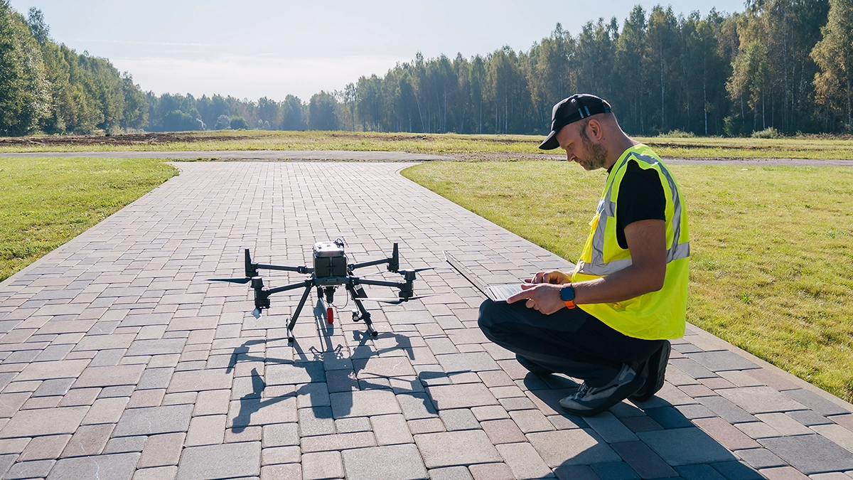
Ground-penetrating radar carried by drone reveals the internal structure of ice and snow without putting researchers on unstable terrain.
- Researchers at the University of Lausanne compared foot-based and drone-based radar surveys of Switzerland's Otemma Glacier, finding the airborne system recorded data at least four times faster than the earlier ski-based survey, with better overall quality.
- The Austrian research institute GEORESEARCH flew ground penetrating radar over the Kitzsteinhorn glacier at a constant 5 meters above the snow to map the layering that determines avalanche risk, without a snow pit dug on unstable ground.
- A similar system let University of Arizona researchers characterize the internal structure of rock glaciers at remote sites in Alaska and Wyoming, extending the method from glacial ice to frozen rock and debris.
Hydrology and Water Resources
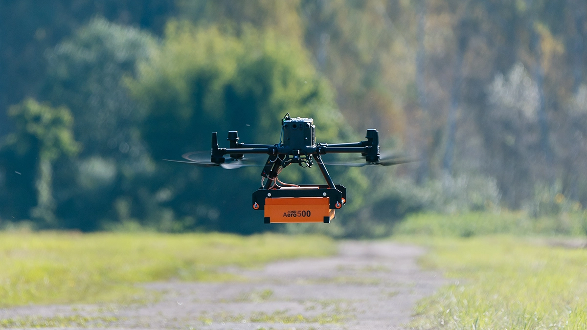
Rivers and stormwater ponds are difficult to measure well from the ground, since water levels change quickly and wading in during a flood is often unsafe.
- A consortium led by the Technical University of Denmark flew a 10-kilometer, multi-sensor survey of Sweden's Rönne Å river during a rain event, holding water-surface elevation to under 3 centimeters of error against ground instruments even as the river rose.
- Mohawk College's Unmanned Remote Sensing Innovation Centre worked with the City of Hamilton to survey 70 municipal stormwater ponds by drone-mounted echo sounder. The method replaced manual rowboat surveys and produced volume estimates that matched those derived from parallel LiDAR data.

Marine and Coastal Research
NASA's Fluid Lensing technique corrects for wave distortion from the air, enabling drone-based reef maps at centimeter resolution. A 2026 study used it to map 5 square kilometers of Guam's Tumon Bay reef before and after Category 4 Typhoon Mawar, documenting a 59 percent decline in massive coral and a 105 percent increase in algal cover.
The same aerial vantage point works for what lives on a reef, not just its structure. A study published in the ICES Journal of Marine Science found aerial drone surveys to be a viable, less invasive alternative to baited underwater cameras for monitoring sharks and rays in coastal waters.
Agricultural and Plant Science
Precision agriculture research depends on surveying the same plot repeatedly, which is where dense, uniform canopy usually slows a standard drone flight down.
- Comparing five flight methods over a 2.45-hectare Christmas tree orchard, Dalhousie University found that circular flight paths cut total flight time by 64 percent and processing time by 83 percent compared with a standard grid survey, with no loss in measurement accuracy.
- Multispectral imagery flags disease or water stress in a canopy before it is visible to someone walking the rows, letting researchers intervene earlier in a trial.
Atmospheric and Climate Research
Drones are starting to fill the gap between fixed ground weather stations and satellite passes, profiling the lowest layer of the atmosphere where conditions change fastest.
- Boundary layer profiling. The University of Oklahoma's CopterSonde program developed a small rotorcraft platform built specifically for atmospheric boundary layer research. At fixed sites, it collected vertical profiles of temperature, humidity, and wind more frequently than routine weather balloon launches.
- Operational validation. A campaign led by the World Meteorological Organization tested drone-based profiling twice daily for two months at a research site in Japan, finding the data met the accuracy needed for numerical weather prediction when checked against traditional radiosondes.
Robotics and Autonomous Systems
Engineering departments also study drones as a research subject in their own right, not only as a tool for collecting other data. NASA's Jet Propulsion Laboratory, for example, has been testing research drones over sand dunes in California's Mojave Desert to develop navigation software for a future Mars rotorcraft. The work builds on the terrain-tracking limits that slowed the Ingenuity Mars Helicopter's later flights.
University robotics labs take a similar approach on the ground, using drones running open flight-control firmware such as ArduPilot or PX4 as a testbed for autonomous navigation and multi-agent coordination research, the same problem behind the custom routing algorithm Stanford's team used to survey the penguin colonies described above.
Drone solutions for academic research
The projects above rely on the same basic tools: flight planning software that holds a precise path over difficult terrain, hardware that integrates cleanly with the sensor in question, and a way to turn raw data into valuable information.
- UgCS flight planning software: Terrain-following paths built from your own elevation data, offline operation and saved missions for identical repeat surveys, with academic pricing for individual researchers and lab-wide deployments.
- SkyHub onboard computer: The drone onboard computer that synchronizes magnetometer, GPR, echo sounder, and other sensors’ data during flight.
- GeoHammer and DroneGIS: Process and interpret sensor data, including AI-assisted classification workflows.
- Educational Partner Program: Launched in 2015, it now supports researchers and training providers at 300+ universities in 40+ countries with software access, training, and setup support for academic and research institutions.
Contact our team to scope the right setup for your fieldwork.
FAQs
Do I need special licenses or permissions to use drones for research?
In most countries, yes. EU operations fall under EASA's weight- and environment-based categories, while most US academic flights need FAA Part 107 authorization, plus a Beyond Visual Line of Sight waiver for remote-control fieldwork. Universities typically add their own flight authorization and studies involving people, wildlife or protected sites need separate permit approval.
How accurate are drone-based measurements for scientific research?
With RTK or PPK positioning and enough ground control points, centimeter-level accuracy is achievable and increasingly documented. The Dalhousie orchard study above measured 1.4 to 1.5 centimeter RMSE across every flight method tested, and the Rönne Å survey held water-surface elevation to under 3 centimeters against ground instruments.
How can universities integrate drones into existing research workflows?
Integration comes down to training, data compatibility and a written protocol. Training courses shorten the learning curve for new students, exports to standard formats such as SEG-Y, CSV, or NMEA-0183 drop cleanly into existing GIS pipelines, and a documented protocol keeps data quality consistent regardless of who is flying.