
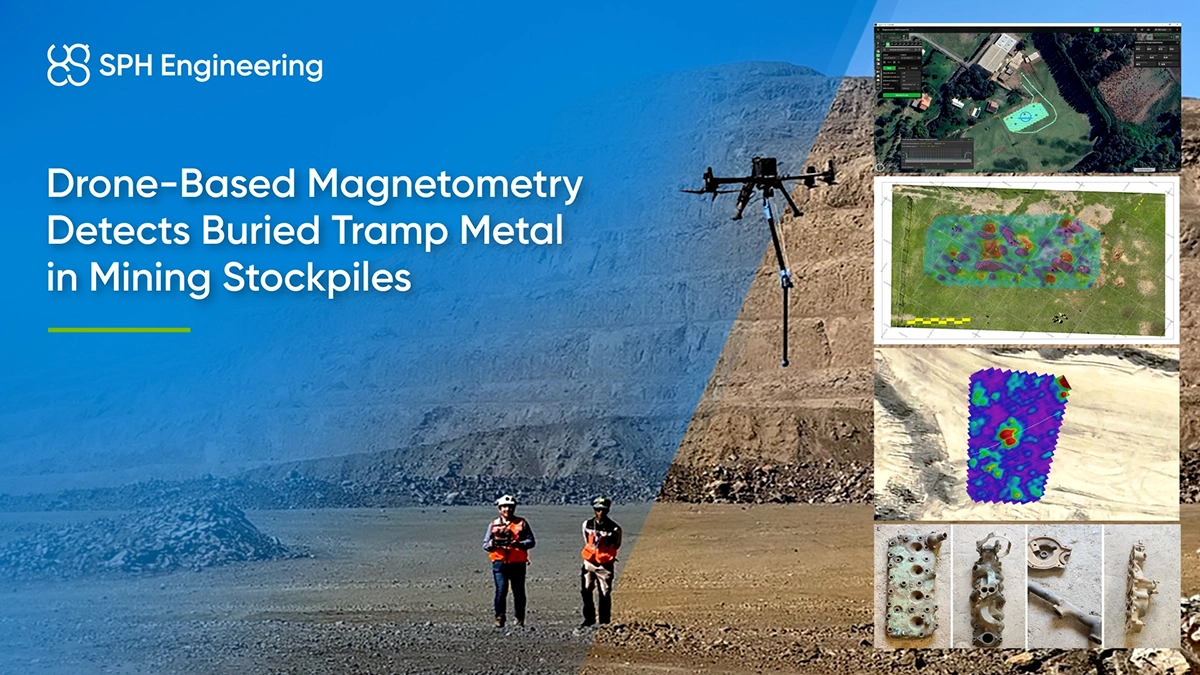
Quick Facts
- Company: Geocom
- Location: Chile
- Application: Detecting buried ferrous tramp metal in stockpiles
- Challenge: Locating metal objects in uneven, unstable material without sending survey personnel across the stockpile
- Solution: Drone-based magnetometry with SPH Engineering’s UgCS, SkyHub, and True Terrain Following
- Key result: Distinguishable magnetic anomalies associated with buried ferrous objects, with preliminary results available for field review
- Technology: SENSYS MagDrone R1 fluxgate magnetometer mounted on DJI Matrice 350 RTK, radar altimeter, and SPH Engineering’s UgCS and SkyHub
- Survey parameters: Three flights over the same sector; 1.5 m flight line spacing; 1.7 to 2 m flight height over the stockpile
Tramp Metal Risks in Mining
Unwanted metal components can become mixed with stockpiled material during mining operations. Known as tramp metal, these objects may include broken shovel teeth and other ground engaging tools (GET), track shoe parts, large bolts or pieces of machinery. If these uncrushable objects enter a crusher, they can damage equipment and cause unplanned production interruptions.
Locating tramp metal in stockpiles before processing helps mining teams identify where further investigation is needed. However, surveying a stockpile on foot introduces its own difficulties, particularly where material is unstable or loading operations are active.
Geocom evaluated UAV magnetometry to collect magnetic measurements while keeping survey personnel off the stockpile.
Why Buried Tramp Metal is Hard to Find in a Stockpile
The survey needed to cover irregular terrain and produce data that could distinguish buried ferrous objects from the surrounding magnetic background.
The main challenges were:
- Personnel exposure: Ground surveying could require operators to cross unstable material or approach active loading areas.
- Changing terrain: The airborne system needed to maintain low-altitude flight as the stockpile surface changed beneath it.
- Target interpretation: The team needed to distinguish responses associated with ferrous objects from natural magnetic variations in the ground.
- Production continuity: The search had to happen without stopping the operation.
Before applying the method in the mining environment, Geocom assessed the system’s response to known buried targets.
Drone-Based Magnetometry with UgCS and SkyHub
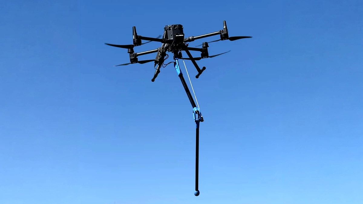
Geocom used a SENSYS MagDrone R1 magnetometer on a DJI Matrice 350, with SPH Engineering’s UgCS drone flight planning software for mission planning and SkyHub onboard computer for sensor integration. An integrated radar altimeter supported True Terrain Following for the aircraft to maintain low-altitude flight over the uneven stockpile surface.
Controlled Testing
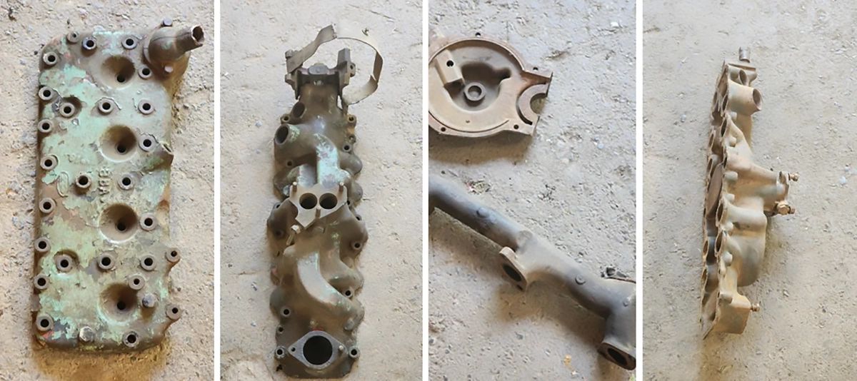
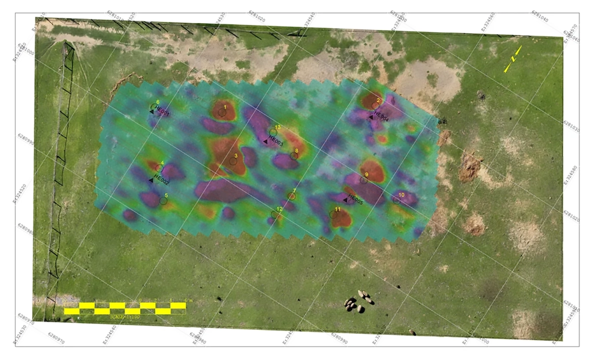
The team first prepared a test area on open ground, burying ferrous objects at known depths and orientations. These included scrap metal and machinery components.
Flights at different heights helped Geocom examine how the targets appeared in the magnetic data and refine the operating parameters before surveying a stockpile.
The tests detected the prepared targets. Geocom also reported additional anomalies attributed to older buried objects that had not been included in the test setup.
Stockpile Survey with True Terrain Following
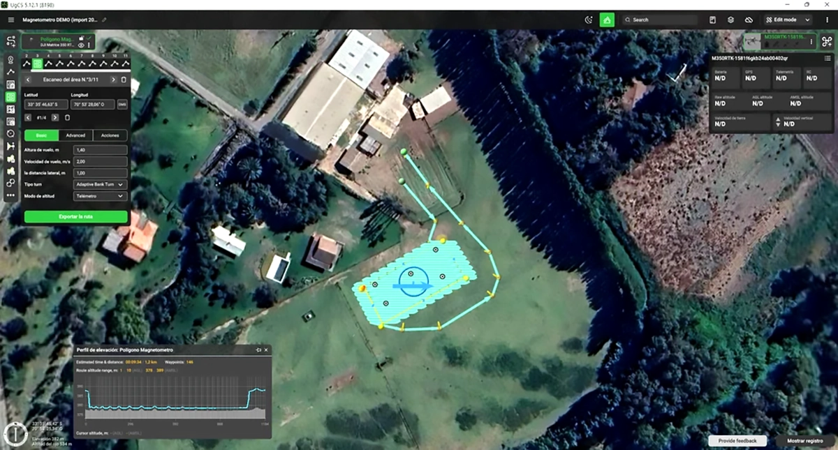
Geocom planned flight lines 1.5 m apart in UgCS. True Terrain Following held the drone 1.7 to 2 m above ground level (AGL) over the irregular stockpile surface.
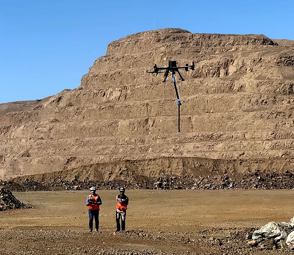
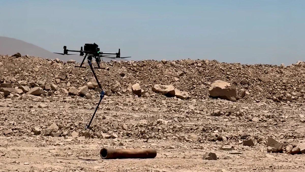
The team completed three flights over the same sector. It also placed a metal object on the surface to compare its magnetic response with those of buried objects. This comparison helped assess differences in the recorded signals while checking whether the buried targets remained distinguishable.
Data Processing
Geocom carried out preliminary processing on site so the team could review the measurements during fieldwork. More detailed processing followed in the office, where filters highlighted the anomalies.
Interpretation considered the shape and amplitude of the magnetic responses. The processed data showed dipolar anomalies, consisting of paired positive and negative responses, which Geocom associated with concentrated ferrous objects.
The team used a rapid deployment without a magnetic base station. Consequently, the workflow did not include base-station correction for natural magnetic field changes over time. Geocom reported that the target responses were sufficiently strong to remain distinguishable from the background under the test conditions.
Buried Ferrous Objects Detected
The stockpile test produced clear magnetic anomalies associated with buried ferrous objects. In the prepared comparison, the surface object and buried targets generated different signal amplitudes, while the buried targets remained distinguishable in the processed data.

These findings support using drone magnetometry to locate areas for further investigation. They describe the reported test conditions and do not establish a detection rate or maximum burial depth. . In a separate drone magnetometry test at an open-pit mine, a SENSYS MagDrone R3 detected small steel targets up to 3.5 m deep.
Screening Stockpiles for Tramp Metal Before the Crusher
Geocom concluded that the method can screen stock screen stockpiles for buried ferrous objects without stopping operations. The anomaly maps can help mining teams focus follow-up checks on specific locations before material moves into processing.