
Drone-based echo sounders for bathymetry, ready to fly
Hardware-integrated bathymetric sensors on the drone you already own. Calibrated, georeferenced, and survey-ready on day one.


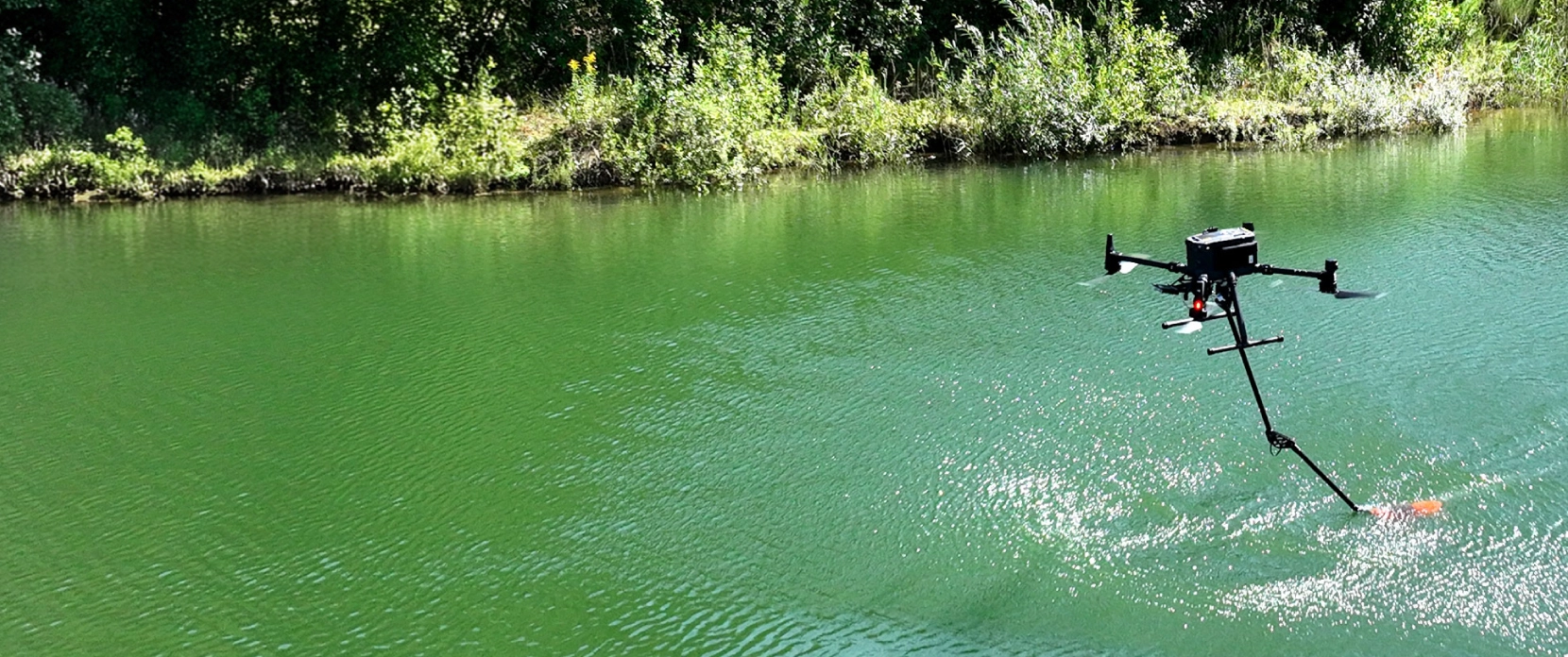

How the drone echosounder drone system works
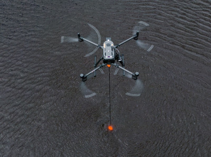
An echo sounder emits an acoustic pulse toward the bottom of a water body and measures the return. Mounted under a drone, it performs drone-based bathymetric surveys of ponds, lakes, harbors, and reservoirs that boats can't reach safely or efficiently. SkyHub onboard computer syncs each ping with the drone's GNSS position in real time, producing georeferenced bathymetric data directly from the flight.
Drone bathymetry by the numbers

DEPTH RANGE
depending on sensor and frequency
DEPTH RANGE
across all SBES models
COMPATIBLE DRONES
DJI, Inspired Flight, Wispr, Harris, and similar
TYPICAL DEPLOYMENT
from order to first mission
Pick the echo sounder that matches your water body,
bottom type and required data density
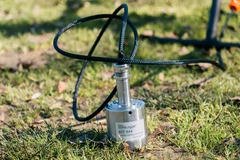
EchoLogger ECT400S
Bathymetric surveying for faster and more cost-efficient mapping of water depths and sediments. The best solution for hard-to-reach locations, and hazardous environments.
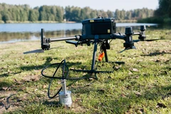
EchoLogger ECTD24S
Bathymetric surveying for faster and more cost-efficient mapping of water depths and sediments. The best solution for hard-to-reach locations, and hazardous environments.
Echo sounder specs at a glance

Single-beam, single-frequency (450 kHz)
450 kHz
0.15 - 100 m
5° conical
0.2% of depth
No
Integrated
Integrated
1.3 kg
1.9 kg
DJI M400/M350/M300,
Inspired Flight IF1200A/IF800,
Wispr Ranger Pro,
Harris Aerial H6, and similar UAS
SkyHub + UgCS + GeoHammer or Hydromagic or BeamworX
Single-beam, dual-frequency (200 / 450 kHz)
200 / 450 kHz
0.15 - 200 m (200 kHz)
0.15 - 100 m (450 kHz)
10° / 5° conical
0.2% of depth
No
Integrated
Integrated
1.3 kg
1.9 kg
DJI M400/M350/M300,
Inspired Flight IF1200A/IF800,
Wispr Ranger Pro,
Harris Aerial H6, and similar UAS
SkyHub + UgCS + GeoHammer or Hydromagic or BeamworX
Single-beam, dual-frequency (50 / 200 kHz)
50 / 200 kHz
0.5 - 200 m (50 kHz)
0.50 - 200 m (200 kHz)
27° / 7° conical
0.2% of depth
Yes
Integrated
Integrated
1.85 kg
2.45 kg
DJI M400/M350/M300,
Inspired Flight IF1200A/IF800,
Wispr Ranger Pro,
Harris Aerial H6, and similar UAS
SkyHub + UgCS + GeoHammer or Hydromagic or BeamworX
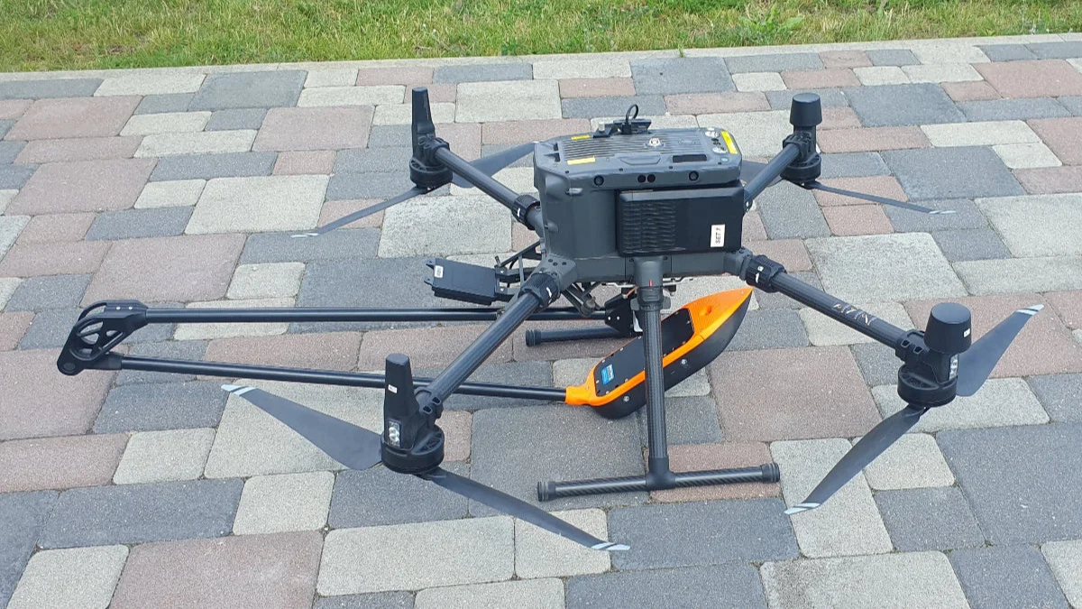
Multi-beam (Cerulean Surveyor 240-16, 240 kHz)
240 kHz
0.5 - 50 m
80° cross-track TX beam,
4° along-track TX beam 16-element receive array;
<1° angle-of-arrival resolution
Configuration-dependent
No
Integrated
Integrated
1.8 kg
2.4 kg
DJI M400/M350/M300,
Inspired Flight IF1200A/IF800,
Wispr Ranger Pro,
Harris Aerial H6, and similar UAS
SkyHub + UgCS + GeoHammer or Hydromagic or BeamworX
Select the optimal echo sounder sensor for your mission

Complete and ready-to-use drone bathymetry solution

Integration Done
Sensor mounted in a protective housing with suspension. Power and data wired to SkyHub. Tilt/roll and temperature sensors integrated. The kit ships ready for the drone you specified.

Mission Planning
UgCS handles flight planning and mission control. True Terrain Following holds the drone at a stable altitude over water, compensating for tides and waves through the radar altimeter.

Onboard Sync
SkyHub acts as the onboard data logger, linking the echo sounder to the drone's GNSS and telemetry in real time. Each ping is georeferenced at acquisition, not stitched together in post.

Data Pprocessing
Hydromagic Survey or BeamworX converts raw soundings into georeferenced bathymetric outputs such as contours, DTMs, maps and even volume calculations. Training is included to ensure the workflow is owned by your team end-to-end.

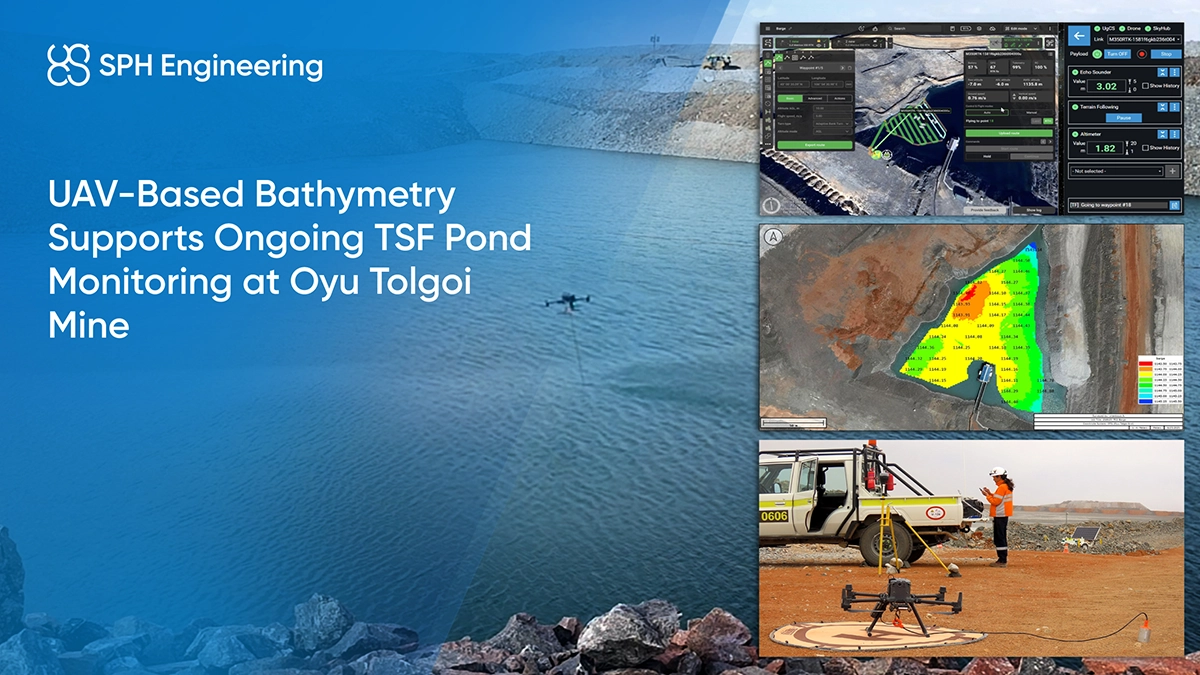
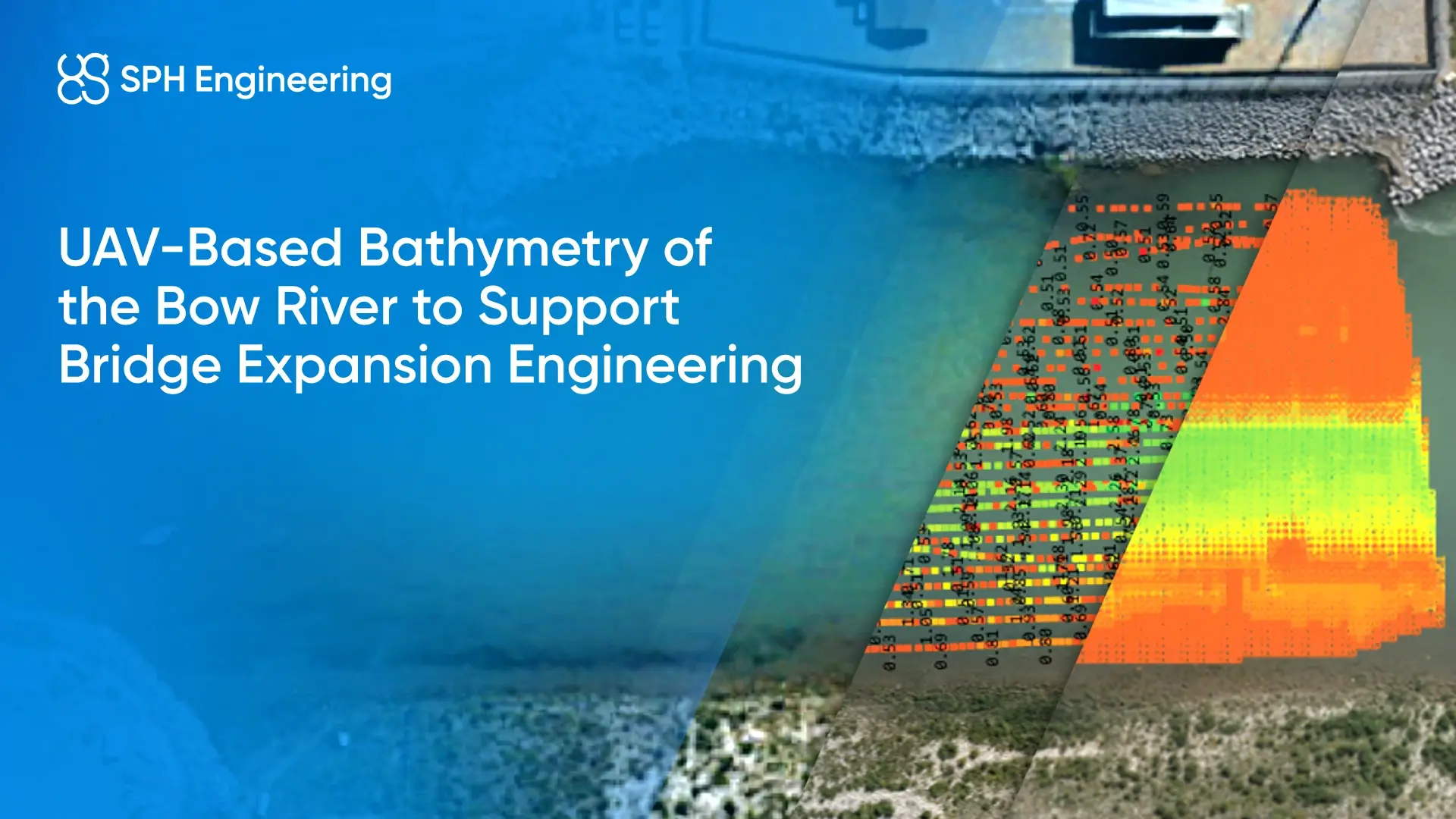
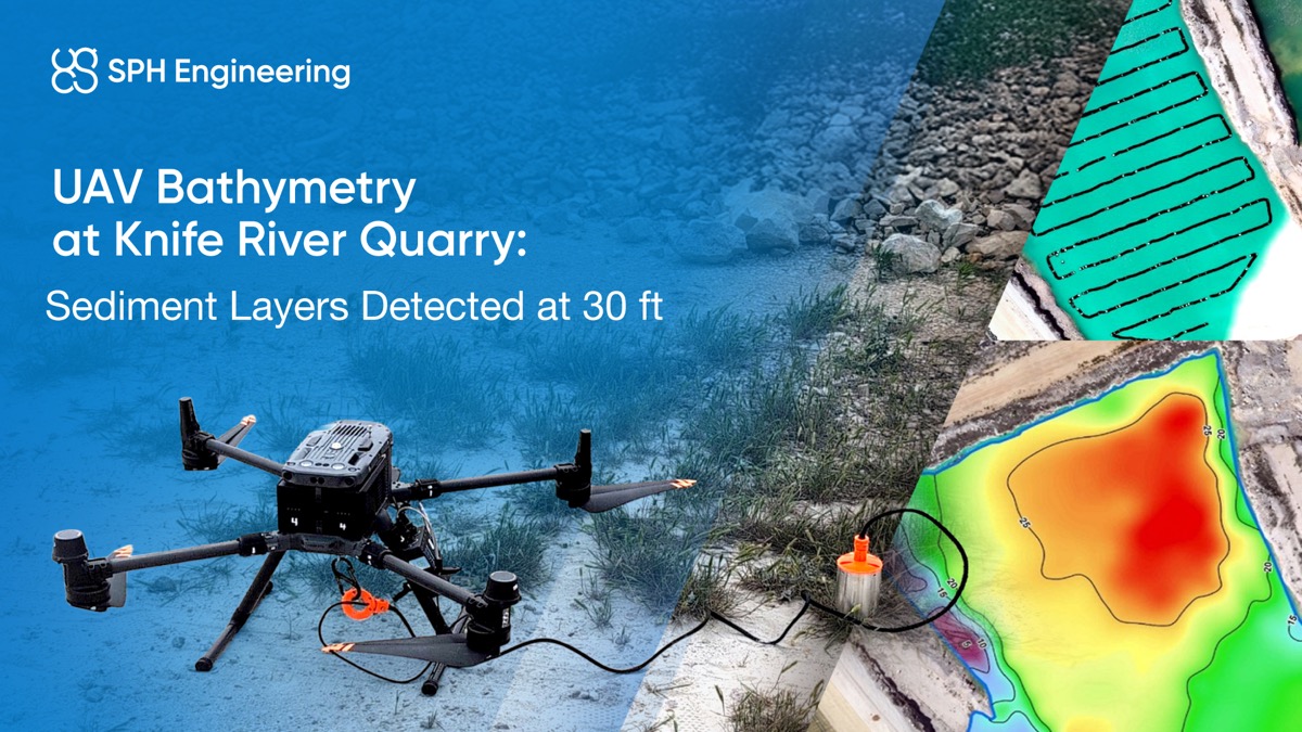
Drone bathymetry case studies across industries



Trusted by
SPH Engineering technologies are used by over 70 technology partners, leading universities, and research institutes.






%202.svg)
_black%201.svg)





Mining Survey Webinars




Your Questions About Drone Solutions for Mining and Mineral Exploration
Can I use my existing drone?
Most likely yes. The current echo sounder portfolio is integrated with DJI M400/M350/M300 RTK, Inspired Flight IF1200A/IF800, Wispr Ranger Pro, and Harris Aerial H6 platforms. Drones of comparable specification can also be supported on request.
Are the supported drones NDAA-compliant or Blue UAS cleared?
Yes, in part. Of the compatible drone platforms, Inspired Flight IF1200A, Inspired Flight IF800 Tomcat, and Harris Aerial H6 are Blue UAS Cleared and NDAA-compliant. Wispr Ranger Pro is NDAA-compliant. DJI M400, M350, M300, and M600 RTK are not NDAA-compliant and are not on the Blue UAS Cleared List. If your procurement requires Blue UAS or NDAA compliance, the same echo sounder integration is available on any of the American-made platforms above.
Do I have to buy the complete system, or can I get the components?
No, the system is modular. Individual components (echo sounder, SkyHub onboard computer, radar altimeter, UgCS licence, data processing software, training) can be purchased separately, which is useful if you already own compatible hardware and only need the missing pieces. Our specialists can help scope the minimum configuration for your case during a discovery call.
We already own an echo sounder. Can you integrate it?
Often yes.
Send us the model, and we will assess. If we have an existing integration profile, deployment timelines shorten substantially. If not, we scope a custom integration project.
What data do we receive after a survey?
Georeferenced depth points and a bathymetric map ready for import into your GIS workflow. Data processing runs through Hydromagic Survey or BeamworX, depending on your team's preference. Training on the full data pipeline is included with every system.
Do we need to send a crew for calibration?
No. System integration and factory checks are completed before shipping. We support a remote onboarding session with your team and provide on-site support for the first deployment if requested.
Which industries have you deployed in?
Over 160 deployments across the globe, spanning mining, construction and engineering, environmental and climate monitoring, oil and gas, academia and research, utilities, and public safety. Documented use cases include tailings storage facilities, coal mine reclamation, bridge expansion bathymetry, harbor and dredging surveys, stormwater retention, research lakes with LiDAR cross-validation, river sediment analysis, and sunken vessel detection.