Researchers studying glaciers, snowpack, and permafrost often face:
What if GPR could fly?
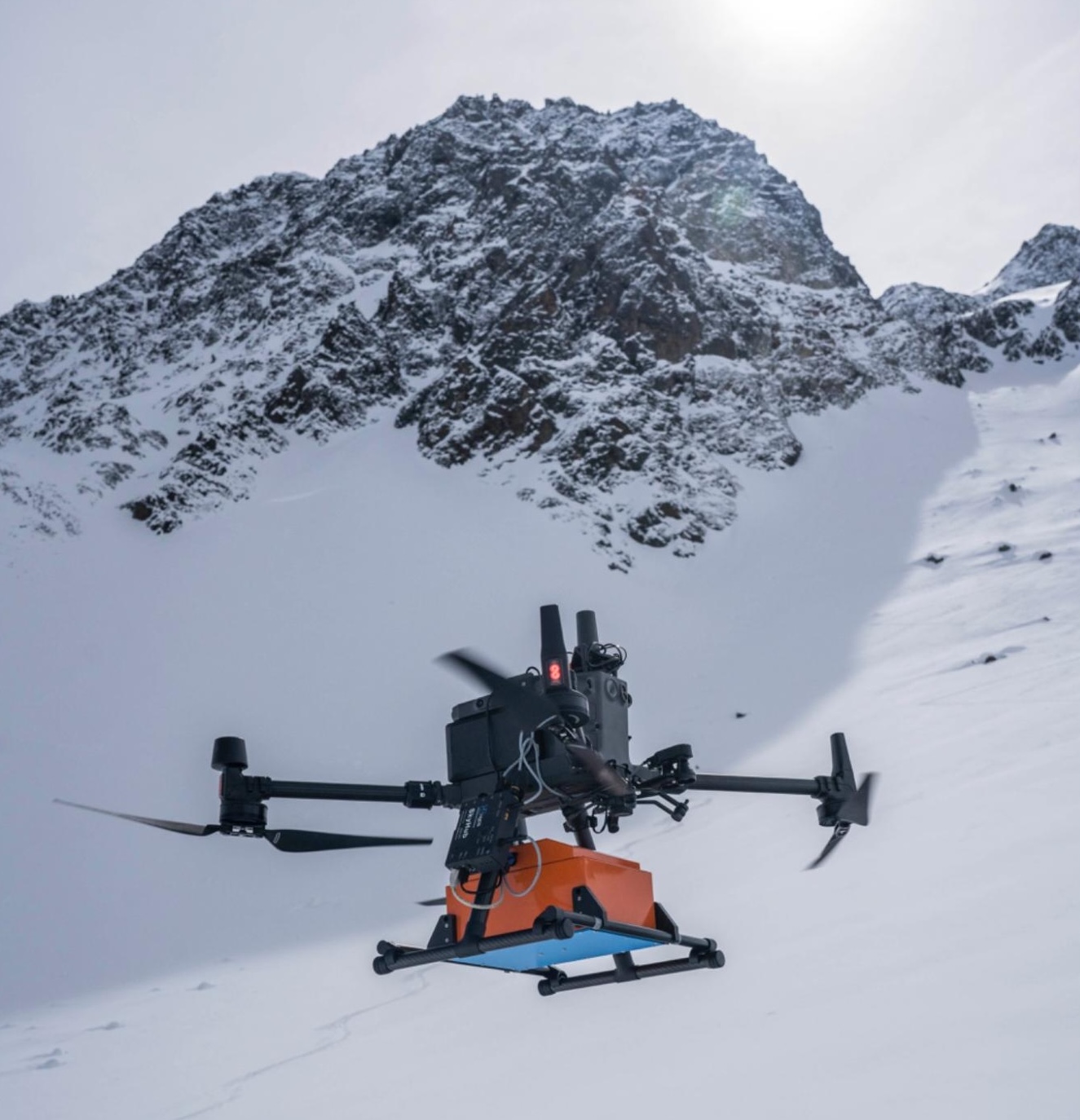
Use GPR payload on a UAV using SPH Engineering’s SkyHub onboard computer and integration kit.
Plan precise flight lines with UgCS, follow glacier topography automatically with True Terrain Following (TTF), and collect continuous, georeferenced radar data — all without setting foot on the ice.
Key Benefits

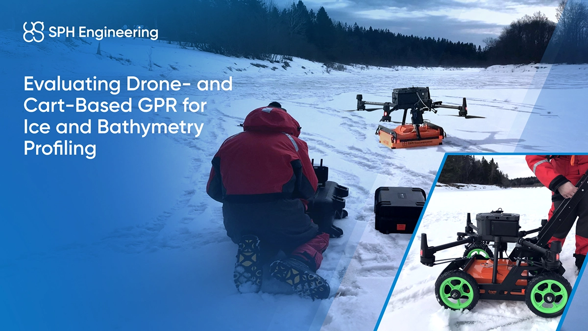
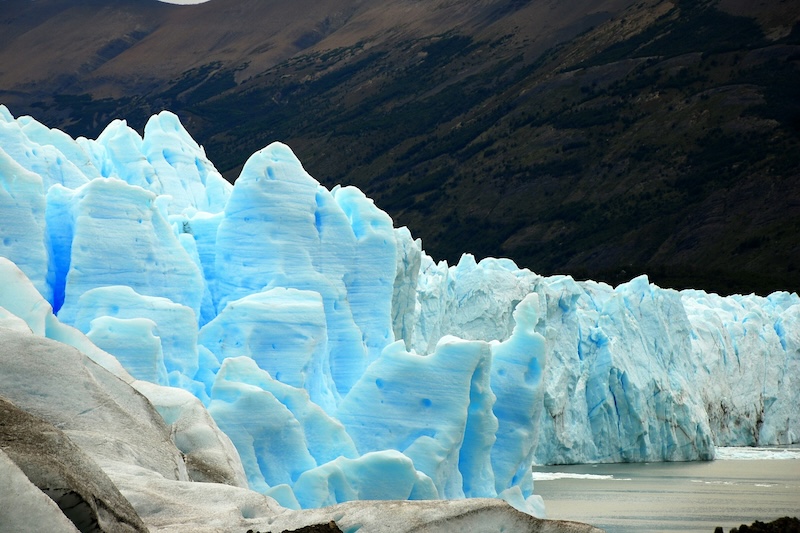
Objective: Determine the total thickness of ice over glaciers, ice caps, frozen lakes, or river systems.
Applications: Glacier mass balance reconstruction, cryospheric modeling, and safety assessment for transport over frozen lakes.
Why UAV-based GPR: Enables rapid coverage of large areas without physical access to ice surfaces—safe, efficient, and repeatable.
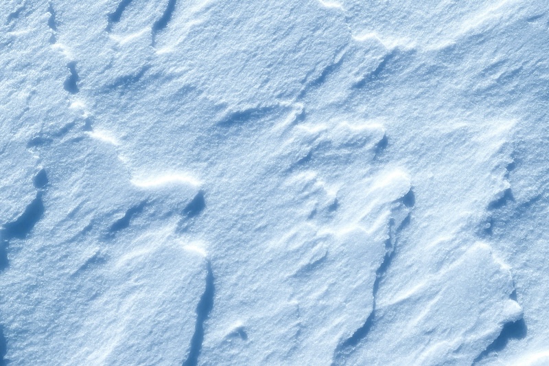
Objective: Detect and map snow and ice layering, including dust or ash horizons within snowpacks.
Applications: Understanding accumulation and melt processes, snowpack stability, and avalanche research.
Why UAV-based GPR: Captures undisturbed stratigraphy even across steep or inaccessible slopes.
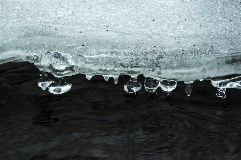
Objective: Identify and monitor zones where snow and ice melt, refreeze, and evolve through the season.
Applications: Seasonal hydrology, meltwater modeling, and glacier runoff prediction.
Why UAV-based GPR: Allows time-lapse surveys of dynamic melt zones without risking personnel safety.

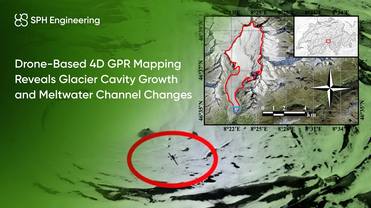
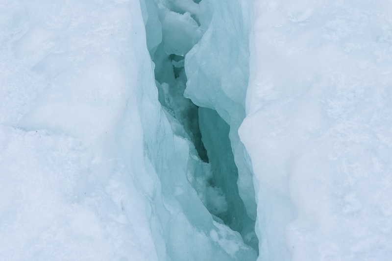
Objective: Visualize internal glacier architecture, such as crevasses, water pockets, and deformation zones.
Applications: Glacier dynamics, ice flow modeling, and cryo-geophysical studies.
Why UAV-based GPR: Provides high-resolution internal imagery of glaciers where ground surveys are impossible.
Objective: Track snow and ice thickness variations over time (monthly or annual intervals).
Applications: Water resource management, flood forecasting, and climate change observation.
Why UAV-based GPR: Enables automated, repeatable missions using pre-programmed flight paths (UgCS + SkyHub integration).
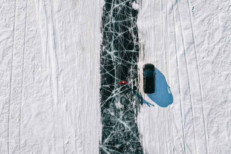
Objective: Assess and continuously monitor the thickness, uniformity, and structural integrity of ice roads used for seasonal transportation and logistics.
Applications: Arctic and sub-Arctic road engineering, oil and gas operations, mining logistics, and community supply routes that rely on frozen lakes or rivers during winter.
Why UAV-based GPR: Provides precise ice-thickness data without deploying personnel on unstable ice. Detects weak zones, cracks, and air pockets that can compromise load-bearing capacity.