
Drone GPR Systems, Ready For The Field
See the complete portfolio of subsurface mapping solutions, from glaciology to utility detection.



How a drone-based GPR system works
Drone-mounted GPR transmitter emits short electromagnetic pulses toward the ground. Part of the energy reflects from buried objects and boundaries between materials with contrasting electromagnetic properties. The receiver records the returning echoes as traces. SkyHub time-stamps and logs GPR data together with GNSS and altimeter readings in real time, producing georeferenced subsurface profiles directly from the flight.
At a Glance: Drone GPR Depth, Frequency, and Compatibility

Penetration depth
depending on sensor, frequency, altitude and conditions
frequency RANGE
across all 6 models
compatible drones
DJI series, Inspired Flight, Wispr, Harris and similar
survey methods
same system, both modes
Drone GPR Specifications Compared


1000
0.5 .. 1
0.3 .. 0.5
-
0.3 (practical limit is 0.5m)
7
11 at 0.5m
5
5

Complete and Ready-To-Use GPR Systems for Drones

Integration Done
GPR mounted with drone-specific hardware. Power and data wired to SkyHub. Laser or radar altimeter integrated for terrain-following flights. The kit ships ready for the drone you specified.

Mission Planning
UgCS handles flight planning. True Terrain Following helps keep the drone at a constant antenna height above ground, which is essential for drone GPR data quality and consistent penetration depth.

Onboard Sync
SkyHub acts as the onboard data logger, linking the GPR to the drone's GNSS and altimeter readings in real time. Every trace is precisely time-stamped and georeferenced at acquisitio

Data Processing
GeoHammer, Prism2, or Geolitix turn raw traces into radargrams, horizontal slices, 3D reconstructions, or thickness grids. Training is included to ensure the workflow is owned by your team end-to-end.

Case Studies


Trusted by
SPH Engineering technologies are used by over 70 technology partners, leading universities, and research institutes.






%202.svg)
_black%201.svg)





Mining Survey Webinars


Your Questions About Drone GPR Systems
Can I use my existing drone?
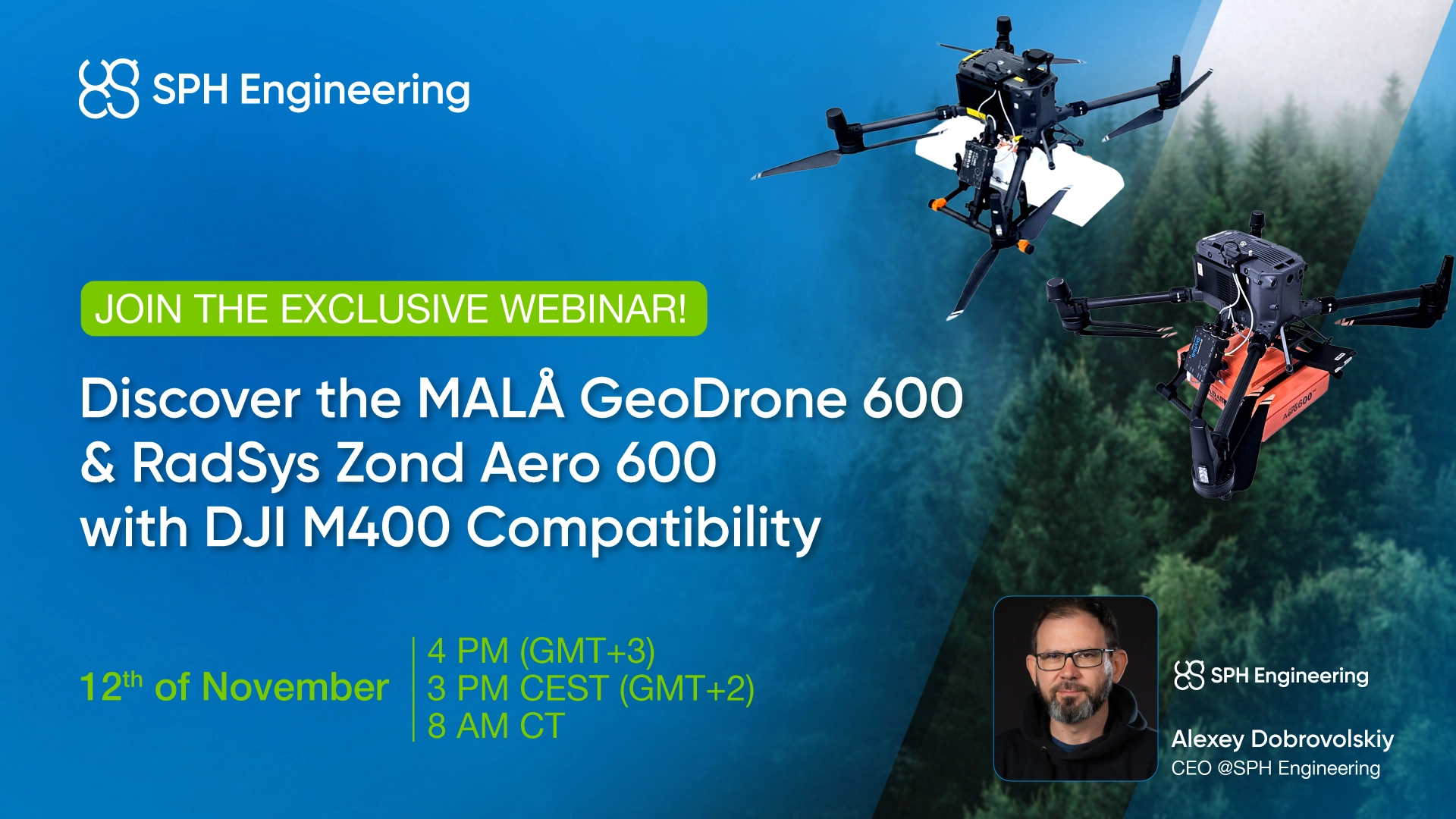
Most likely yes. The current GPR portfolio is integrated with DJI M400, M300/350, M600 RTK, Inspired Flight IF1200A, Harris Aerial H6, and Wispr Ranger Pro platforms. Drones of comparable specification can also be supported on request.
How deep can drone-based GPR penetrate?
GPR penetration depth depends on antenna frequency, antenna height, target size, processing, and the electrical properties of the surveyed material.
From a drone, typical ranges are about 0.3 to 0.5 m at 1000 MHz, about 1 to 2 m at 500 to 600 MHz, and about 5 to 10 m for the 50 MHz setup under favorable conditions. In ice and dry sand, low-frequency can easily reach 100 m or more.
Can we use GPR to detect landmines or UXO?
In theory yes, in practice no.
The main issue is the high rate of false positive detections in the real environment. The only feasible application of GPR in this context is as an auxiliary sensor to collect more information (depth, size) about targets detected using sensors based on different physical principles, such as magnetometers or metal detectors.
What is the recommended flight altitude for GPR?
The lower the flight, the better data can be received. Each antenna has a recommended maximum altitude: 0.3 m for 1000 MHz, 0.6 m for 500 to 600 MHz, 1 m for 300 MHz, 2 m for 150 MHz, and 3 m for 50 MHz, but the final height depends on antenna type, target size, terrain, vegetation, safety and local radio regulations.
True Terrain Following on SkyHub helps to keep the drone at a constant altitude above ground, which is essential for good GPR data quality.
Contact the SPH Engineering team if more questions arise.
What mediums work best and worst for GPR?
Best: snow, ice, dry sand, and dry sandy soils. In ice and snow, drone-based GPR performs almost as well as ground-based surveys. Worst: high-conductivity materials such as clay, clayey soil, fertilised farm fields, seawater, and contaminated or highly conductive water.
Saltwater and other highly-conductivity media will strongly attenuate the radar signal and are generally not practical for GPR.
How long from order to first mission?
Typical deployment timing should be confirmed during quoting. For standard configurations - 6 to 8 weeks. The window covers sensor procurement, integration, factory checks and calibration, shipping, and onboarding for your crew.
Do you offer pricing on the website?
Configurations vary by sensor, drone, altimeter, and software stack, so quotes are individual.
We already own a GPR. Can you integrate it?
Often yes. Send us the model and we will assess. If we have an existing integration profile, deployment timelines shorten substantially. If not, we scope a custom integration project.
What data do we receive after a survey?
Georeferenced raw traces ready for processing in GeoHammer, Prism2, or Geolitix, depending on your team's preference. Processed deliverables can include vertical profiles (radargrams), horizontal slices, 3D reconstructions, or thickness grids. Training on the full data pipeline is included with every system.
Are drone-mounted GPR systems legal?
In many countries, there is a limit on antenna elevation over the ground, usually 1 m.
If the antenna is within that limit during flight, you are typically compliant. Practical use of drone-mounted GPR rarely benefits from flying higher than 1 m anyway (except in snow, ice, or very dry soils), so regulatory limits and operational practice usually align. Drone operations must also comply with local aviation rules, site permissions, and any spectrum or equipment certification requirements.