


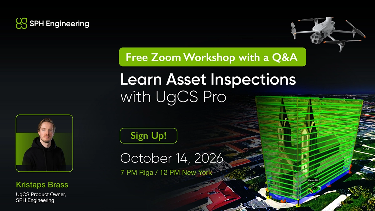
Why this demo
Roads, power lines, bridges, buildings, towers and chimneys each need a different flight pattern. A double-grid photogrammetry mission that works over a bridge deck will not give you usable geometry on a chimney. Picking the wrong tool usually means a second trip to site.
UgCS has five tools for RGB and thermal inspection work: Photogrammetry, Corridor, Vertical scan, Circlegrammetry and Circle. This session covers what each one is for and plans real missions on screen, then finishes with questions.
What you will see
- The five inspection tools side by side and the asset types each one suits
- Double-grid photogrammetry against Circlegrammetry, two ways to capture the same structure
- Corridor missions over linear assets: road networks, power lines, pipelines, railways
- Vertical scan for facades, towers and chimneys
- Camera settings, GSD and overlap for both RGB and thermal payloads
Agenda
- Introduction
- Overview of the tools: Photogrammetry, Corridor, Vertical scan, Circlegrammetry, Circle
- Double-grid and Circlegrammetry: two approaches to photogrammetry
- Corridor missions over linear assets (road networks, power lines, pipelines, railways)
- Vertical asset inspections (facades, towers, chimneys)
- Q&A with Kristaps Brass
Who it is for
Inspection service providers and in-house teams working on utilities, transport infrastructure, industrial facilities and buildings. Useful for anyone currently planning inspection flights manually or in a mobile app.
Free to attend. Registration is required.
Date: Wednesday, October 14, 2026
Time: 7 PM Riga (EEST) | 6 PM Berlin (CEST) | 12 PM New York (EDT) | 9 AM Los Angeles (PDT)
Duration: 60 minutes
Format: Free live demo
Presenter: Kristaps Brass, UgCS Product Owner at SPH Engineering