
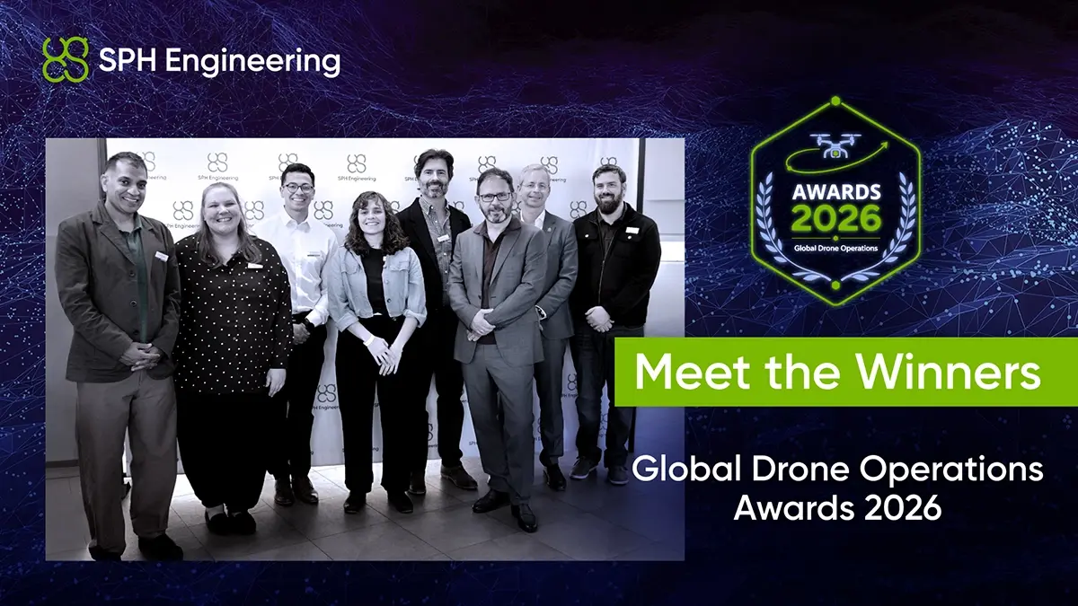
The Global Drone Operations Awards were created to bring advanced drone work beyond individual project reports and into wider professional discussion. Submissions ranged from industrial infrastructure and glacier investigations to wildlife research and education. Each project applied drones to problems that conventional mapping alone cannot address.
Global Drone Operations Awards Category Winners
Mining Operations: AB Surveying Solutions SpA
At an operating mine in Chile, AB Surveying Solutions carried out underground utility mapping to support a primary crusher relocation. Comparing ground-based and drone-mounted ground-penetrating radar (GPR), the team produced a cross-validated utility map for excavation planning. It reported shorter survey times and reduced personnel exposure in operational areas, without disrupting plant operations.
Construction & Site Intelligence: Medusa Geoservices
Medusa investigated drone-borne gamma-ray spectrometry for estimating peat thickness at an onshore wind development in Ireland. The team surveyed 118 hectares in two days and compared the results with measurements from 110 existing cores. The aerial map captured corresponding peat-thickness patterns and added detail between sampling locations, helping guide further investigation. Ground validation remained essential, with moisture effects among the uncertainties identified.
Academia & Research: San Diego Zoo Wildlife Alliance
Operating from research vessels, the team combined thermal imaging with drone-mounted breath sampling to study wild killer whales (orcas) without physical contact. It reported sub-degree precision in repeated thermal measurements and obtained microbiological and molecular data from breath samples. These findings were integrated into individual health profiles, establishing a baseline for monitoring the endangered population over time.
Jury Special Recognition: Embry-Riddle Aeronautical University Worldwide & Online Campus
Separate from the category awards, the jury recognized the university’s Remote Split Operations model for expanding access to practical drone education. Using UgCS drone mission planning software, geographically distributed students research unfamiliar sites, plan faculty-supervised missions and analyze the resulting data. The approach gives students experience across the operational workflow without requiring each participant to own aircraft and sensors.
The projects were reviewed by Cian B. Dawson, hydrogeophysicist and Editor-in-Chief of EEGS FastTIMES; Jan Francke, GPR specialist and Geolitix co-founder; Becky Bodger, Geoscientist and Technical Solutions Manager at CE&E; Matt Collins of Commercial UAV News and Commercial UAV Expo; and Alexey Dobrovolskiy, CEO of SPH Engineering.
What the Winning Projects Show Other Drone Teams
The winning work shows that progress takes more than one form. It can come from combining sensors in a new application, checking aerial measurements against ground evidence, or enabling more people to carry out complete missions. In each case, the test is whether practitioners can assess the results and use them.
For an organization considering a new drone method, knowing how another team tested it, managed field constraints and identified limitations can be as useful as seeing the final result.
“We congratulate the winners and thank every team that shared its work. The most useful projects give others something to build on. We want to help that knowledge travel further, so that more engineers and researchers can test new ideas and put them to work.” - Alexey Dobrovolskiy, CEO of SPH Engineering.
Winning teams received their awards and celebrated their achievements with industry peers at SPH Drone Camp in Budapest on October 12-13, with participation sponsored by SPH Engineering. Alongside the ceremony, they have the opportunity to meet jury members and guest speakers in person, discuss the latest industry trends and exchange ideas, and get to know fellow engineers and researchers. It is an opportunity to build on the recognition earned through the Awards and form relationships that can continue beyond Budapest.