
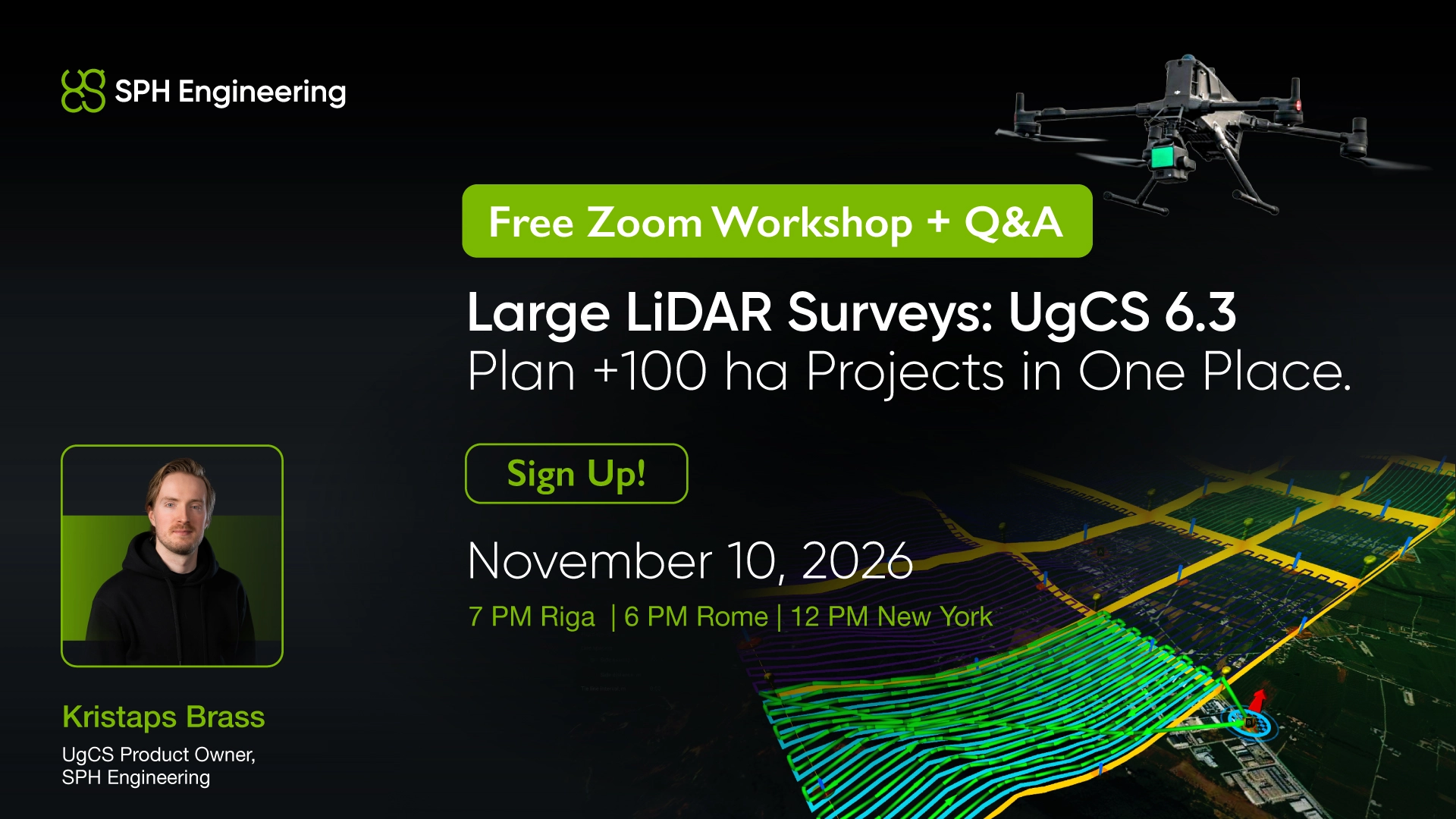
In this live session, we’ll show how to plan 100+ ha LiDAR projects in UgCS, split them into practical flight blocks, configure DJI L1/L2/L3, manage IMU calibration, and use the new terrain-following improvements across complex sites.
This session is for drone surveyors, LiDAR service providers, mapping teams, infrastructure operators, and researchers working with large or demanding LiDAR projects.
When?
November 10, 2026
19:00 Riga I 18:00 Berlin I 12:00 New York I 09:00 Los Angeles
Free live session. Bring your LiDAR questions and real project scenarios.