
.jpg)


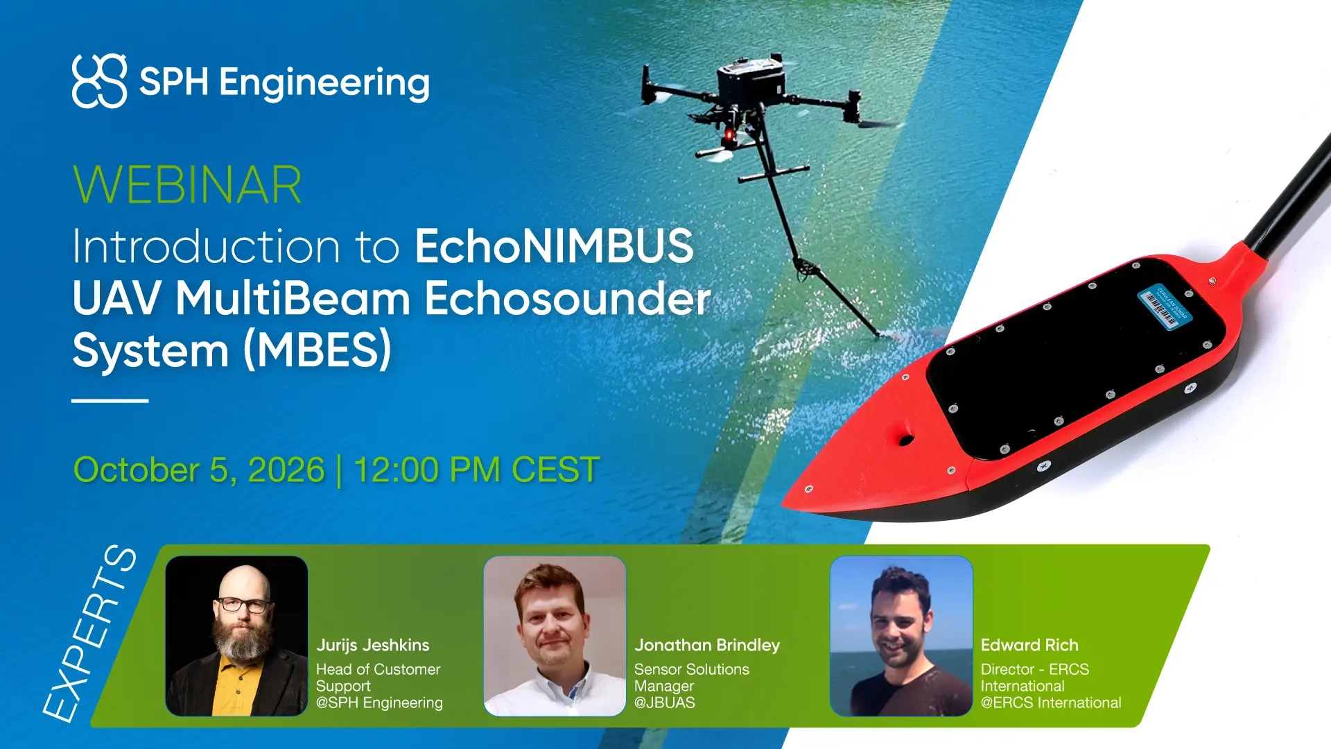
We’ll introduce the EchoNIMBUS system and its integration with the UgCS and SkyHub TTF ecosystem, covering the key flight parameters, operational considerations, applications, and data-processing workflow.
A key part of the webinar will be a customer case study from ERCS International (UK), demonstrating how the system was set up and deployed, how it was used in the field, the data collected, and the resulting performance. We’ll also look at how drone-based MBES compares with equivalent USV-based results.
The webinar will cover:
- UgCS Basics
Introduction to mission planning and flight operations - SkyHub TTF Ecosystem
Understanding the system architecture and integration - EchoNIMBUS MBES System
Key features, specifications, and capabilities - Flying Parameters & Considerations
Practical guidance for successful surveys - Applications
Where drone-based multibeam bathymetry can be applied - Customer Case Study
ERCS International (UK) – Setup, deployment, collected data, results, and performance - Data Processing
From survey data collection to usable bathymetric outputs - Q&A
Live discussion and questions with the presenters
Date & Time:
Oct 5, 2026 12:00 PM CEST
Whether you are new to drone-based bathymetry or looking to understand how MBES can be integrated into your existing survey workflow, this webinar will provide a practical overview of the technology, field operation, and real-world results.