
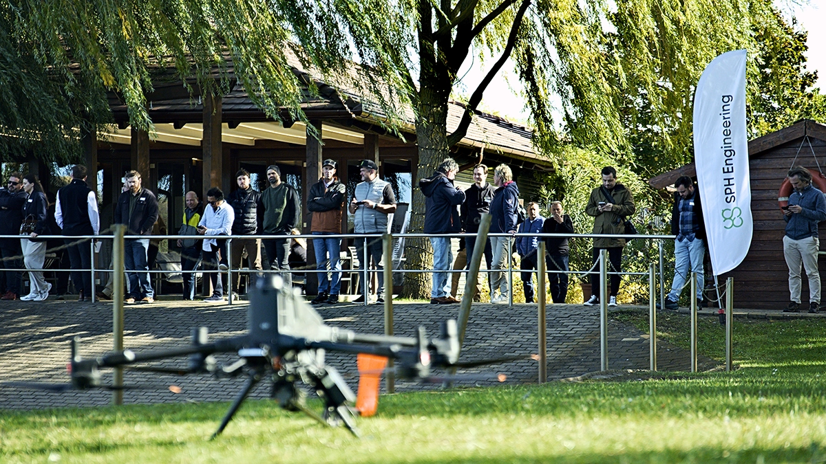
Researchers, commercial survey operators, technology partners and industry media joined SPH engineers for the two-day programme. Field demonstrations were followed by opportunities to discuss equipment selection, data interpretation and operational challenges directly with specialists. Small-group sessions allowed participants to compare approaches with peers working in different environments and applications.
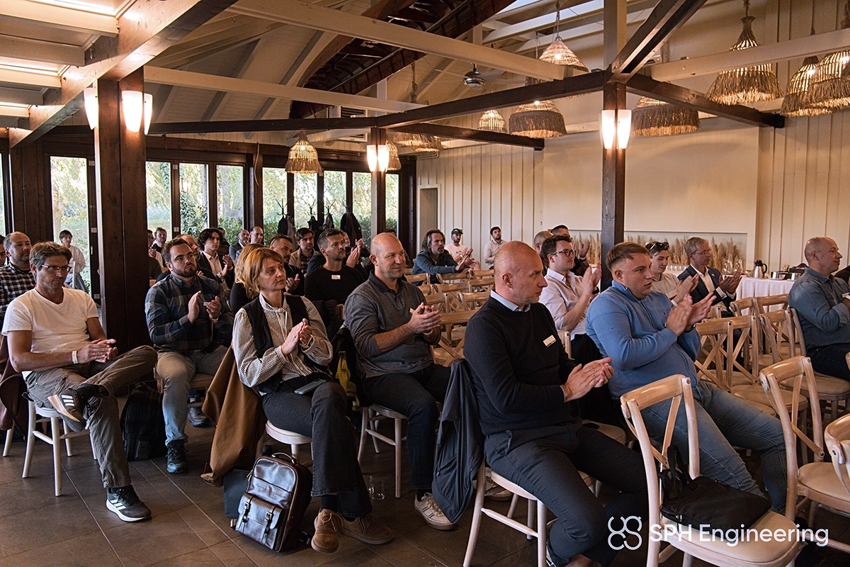
The demonstrations followed the work from UgCS mission planning and SkyHub sensor integration through to data processing and management in GeoHammer and DroneGIS. Drone GPR, magnetometry, bathymetry and other specialist applications were presented as complete survey processes, showing how decisions made before and during a flight affect the final data.

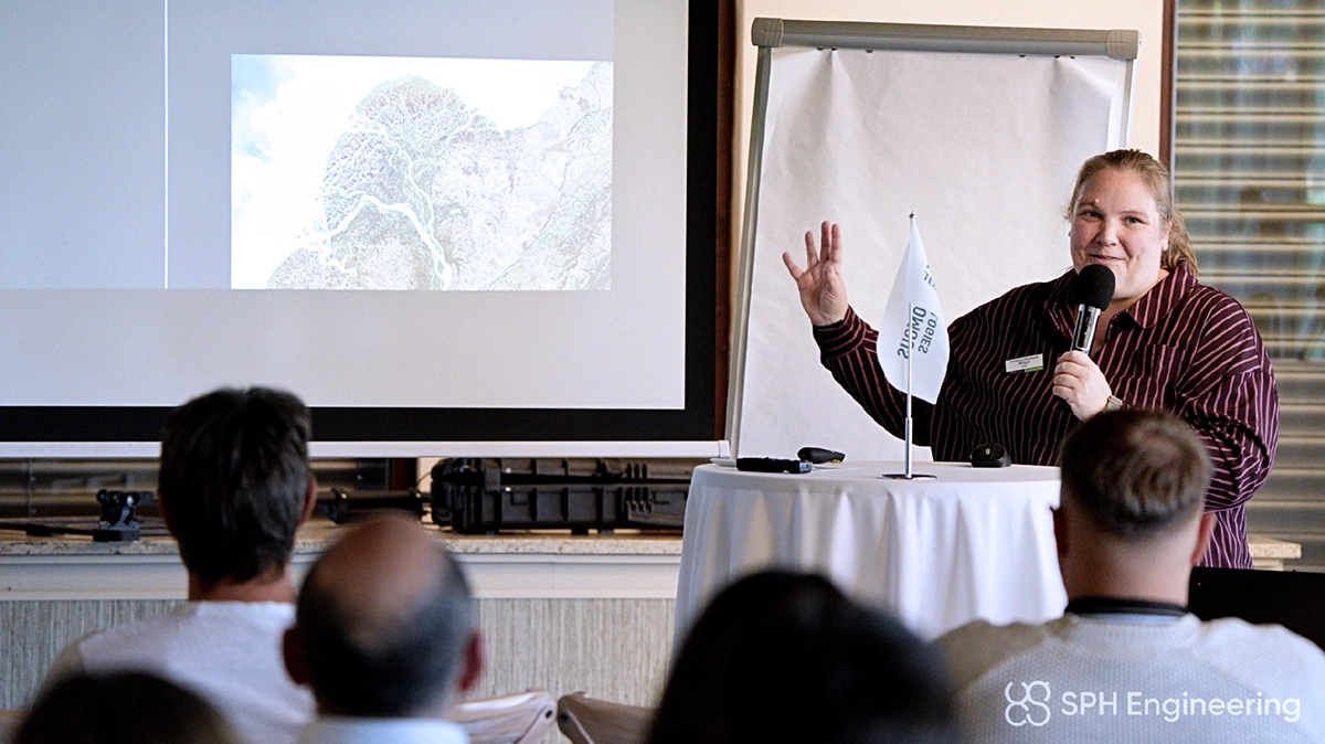
GPR specialist and Geolitix co-founder Jan Francke and geoscientist Becky Bodger of CE&E examined two closely connected parts of that process. Francke addressed when airborne GPR is appropriate and how to obtain useful subsurface measurements. Bodger focused on processing and interpretation: what those measurements support, where uncertainty remains and how the findings can inform practical decisions. Together, these topics addressed a central concern for survey teams: whether a method can answer the question their project needs to resolve.
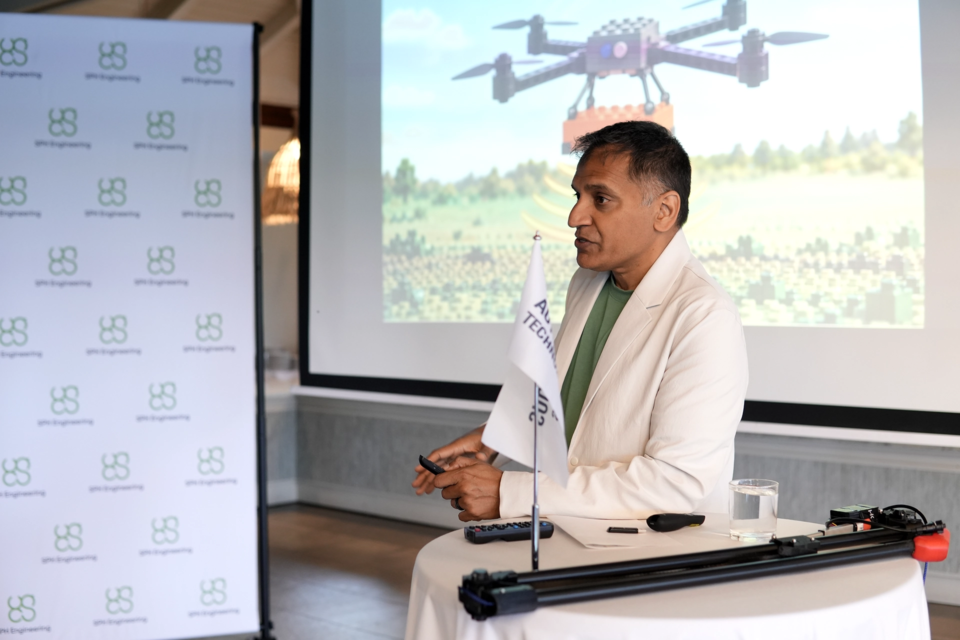
SPH Engineering CEO Alexey Dobrovolskiy explored how AI could make complex processing more accessible. His recent GeoHammer work enables specialists to use natural-language instructions to test processing methods and prepare reusable scripts. The approach reduces the programming barrier for people who understand the geophysical problem, while keeping validation essential before a workflow is used routinely.
“AI can help us explore processing methods we might not otherwise have tried. But we need to understand what a method does to the data, not just accept a convincing-looking result,” said Dobrovolskiy.

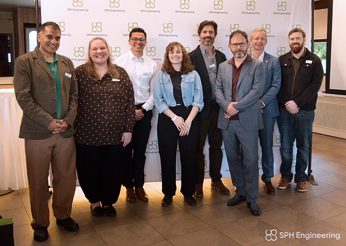
The programme also celebrated the winners of the inaugural Global Drone Operations Awards. AB Surveying Solutions, Medusa Geoservices and San Diego Zoo Wildlife Alliance won the Mining Operations, Construction & Site Intelligence and Academia & Research categories, and Embry-Riddle Aeronautical University received the Jury Special Recognition. Winning teams joined fellow practitioners, jury members and technical specialists to exchange experience. The Awards recognized completed projects; the Camp provided time to discuss the methods, decisions and lessons behind such work.
For SPH Engineering, this exchange is part of making advanced drone surveying more widely usable. Users need practical knowledge alongside equipment and software, while developers need a clear understanding of field requirements. SPH Drone Camp brought those perspectives together, helping participants assess new applications and giving the company direct feedback on where its technology and support need to develop.