
DJI Matrice 4D and 4TD Support
Full mission planning for DJI’s small but rugged enterprise drones. Terrain following, area scans, corridors, DEM imports, UgCS Cloud sync to DJI Pilot 2.
Upgrading from M300/M350? Your workflows carry over.
Updated U-Shape IMU Calibration for YellowScan LiDARs
The U-Shape calibration segment now runs at maximum available speed from the drone profile. The segment length is increased and adjustable. Shortened segment after turn to maximize efficiency. If you’re flying YellowScan payloads, calibration is now faster and more precise.
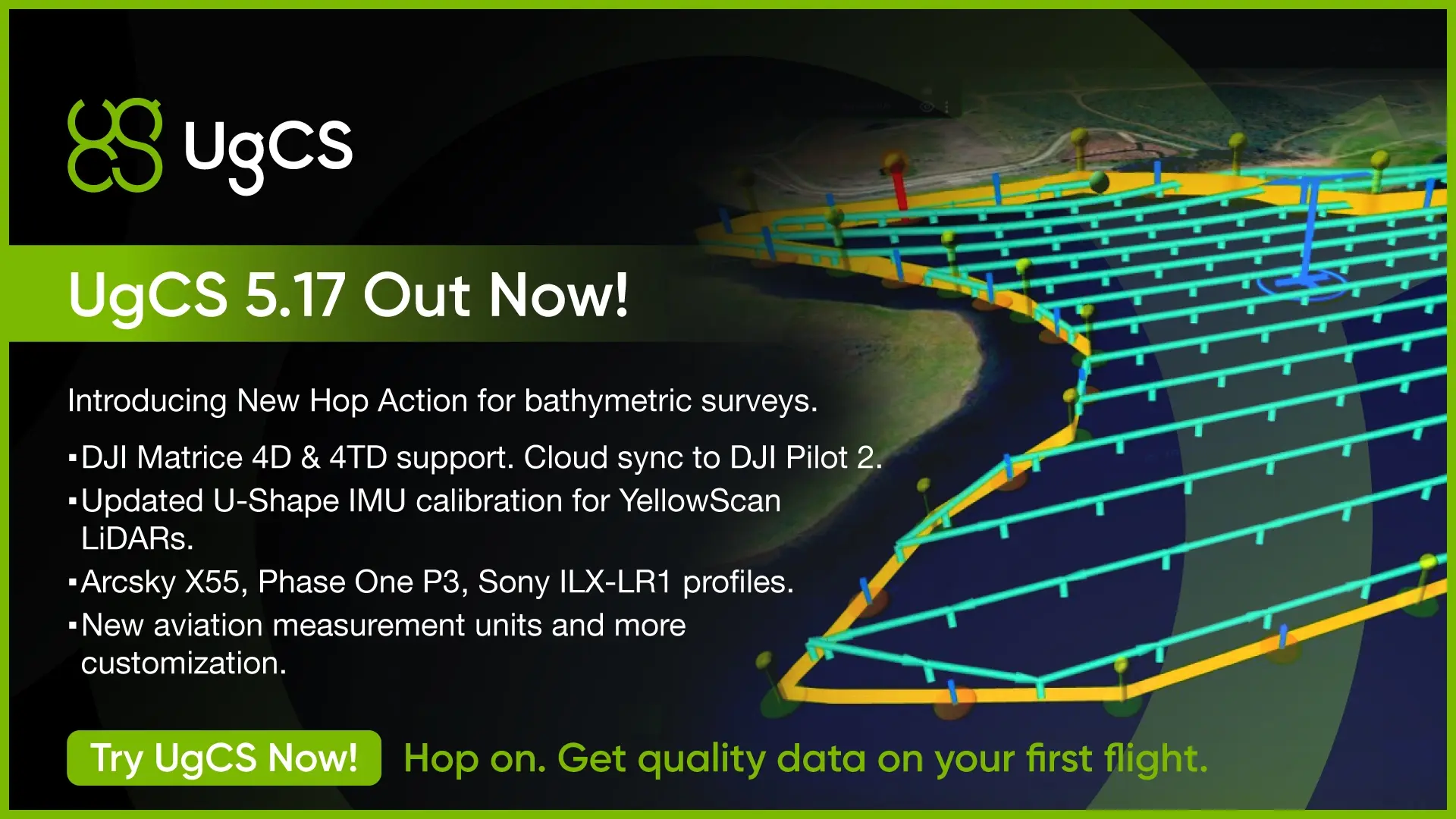
New Hop Action
Need a closer look at specific points during a corridor or area scan? Hop lets the drone descend to a set altitude at any waypoint, hold, capture data, then climb back and continue. One mission, no interruptions. Works on DJI and ArduPilot.
SkyHub users: Hop replaces Grasshopper mode. Uses rangefinder altitude. Requires Companion 1.10.0 and SkyHub 4.4.2+.
New Drone and Payload Profiles
- Arcsky X55 (NDAA-compliant heavy-lift, up to 3hr hybrid flight time)
- Phase One P3 (100MP medium-format aerial camera)
- Sony ILX-LR1 (61MP full-frame global shutter for photogrammetry)
Custom Measurement Units
Set distance, altitude, speed, and area units independently. Metric, Imperial, or mix and match. Main Menu > Configuration > Measurement.
Companion 1.10.0
- Hop action support for SkyHub (replaces Grasshopper mode)
- Zenmuse L3 video feed in Companion
- Telemetry fix for DJI M400 via SkyHub
- Fixed camera widget label when switching from FPV
- Fixed crash when pressing Record without SkyHub connected
Requires UgCS 5.17.0 and SkyHub 4.4.2 or newer.