
.jpg)
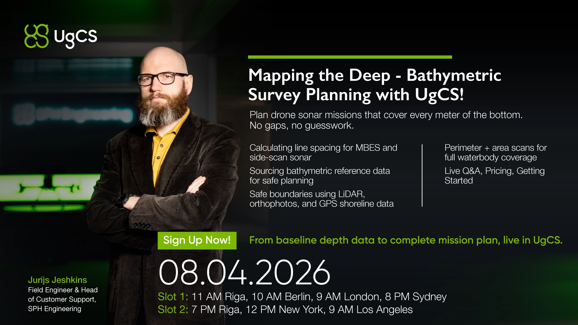
On April 8, Jurijs Jeshkins (SPH Support Lead) is running a free training session on bathymetric survey planning in UgCS. Two time slots to fit your timezone.
What the Session Covers
Calculating line spacing for MBES and side-scan sonar. Determining optimal side distance based on your sensor specs and target coverage. Get this wrong and you're either flying redundant lines or leaving holes that only show up when you process the data back in the office.
Sourcing bathymetric reference data. Using existing charts and reconnaissance missions to establish baseline depth information before you plan the full survey. Without decent reference data, your line spacing calculations are built on guesswork.
Planning safe bathymetric missions. Defining operational boundaries using LiDAR data, orthophoto imagery, and GPS shoreline measurements. Water edges aren't always where they look on a map, especially in tidal or seasonally variable areas.
Achieving full waterbody coverage. Combining perimeter and area scans to eliminate data gaps. Jurijs will walk through how to structure these in UgCS so your survey area is fully covered without unnecessary overlap.
Everything is demonstrated live in UgCS, followed by Q&A. Bring your specific questions about sonar mission planning.
If you're planning sonar missions and spending too much time guessing at line spacing or patching coverage holes in post-processing, this session will save you hours in the field.