


Webinar | UgCS Power-User Tips: What Most Pilots Miss

19 March 2026
,
6:00 pm
UTC+2
Online, Zoom
From software to sensors to mission automation — SPH Engineering delivers integrated drone systems tailored to your business needs
.svg)
Global presence company
Based in Latvia (EU) and the USA, with a partner network in over 150 countries
.svg)
Proven drone tech expertise
With a long-term focus on advancing drone applications since 2013

Creator of UgCS software
Leading mission planning and flight control software used worldwide

Trusted by 300+ Universities
Adopted our technologies for education, research, and applied field projects

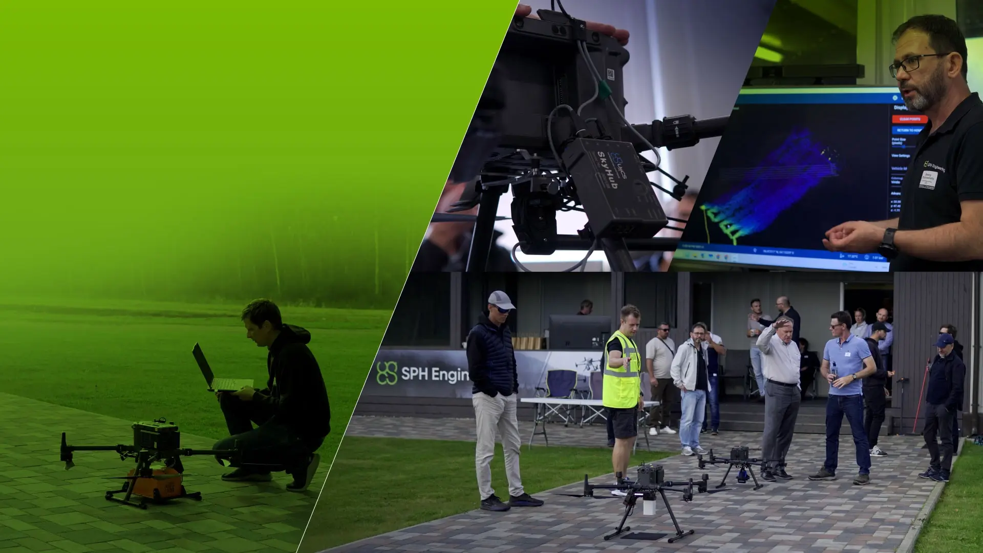
Operating in-house test facilities
To validate hardware and software systems under real-world conditions
Training and technical support
Enabling organizations to use our solutions efficiently and reliably

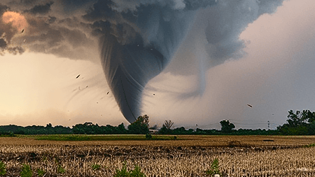
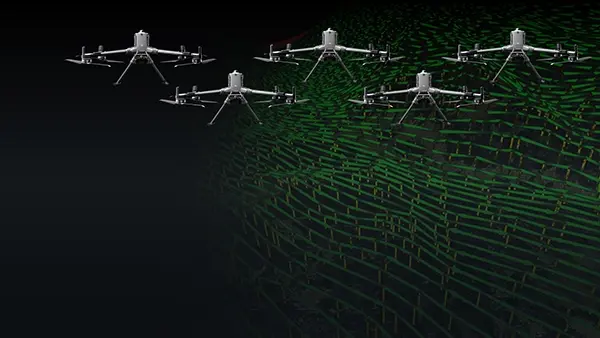
UgCS is the professional mission planner for when the job is too complex for standard apps. Get full control over challenging environments, design flights with market-leading automation and markets' only dedicated LiDAR toolset. Use precise terrain following for perfect data capture over hills or vertical structures. UgCS supports your entire fleet, from DJI to US-made drones, and works completely offline.
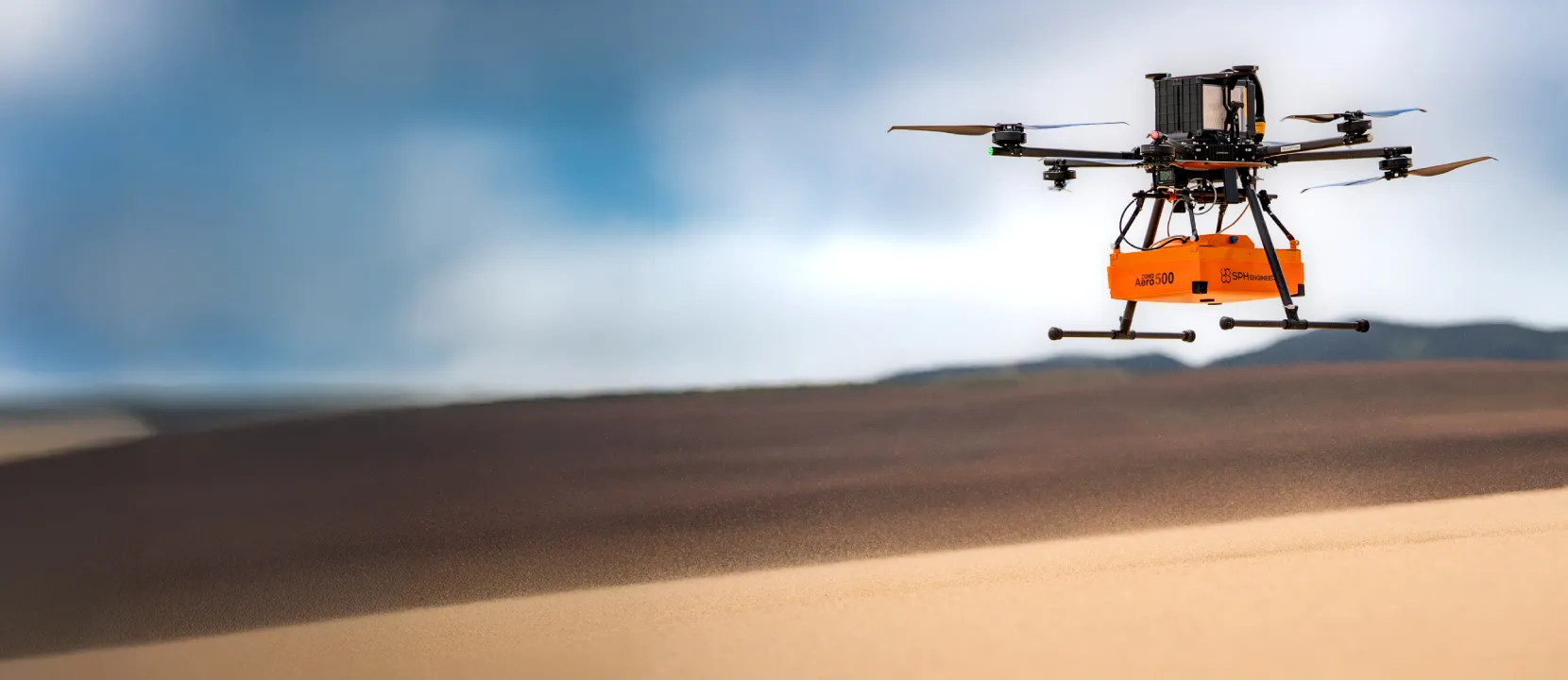
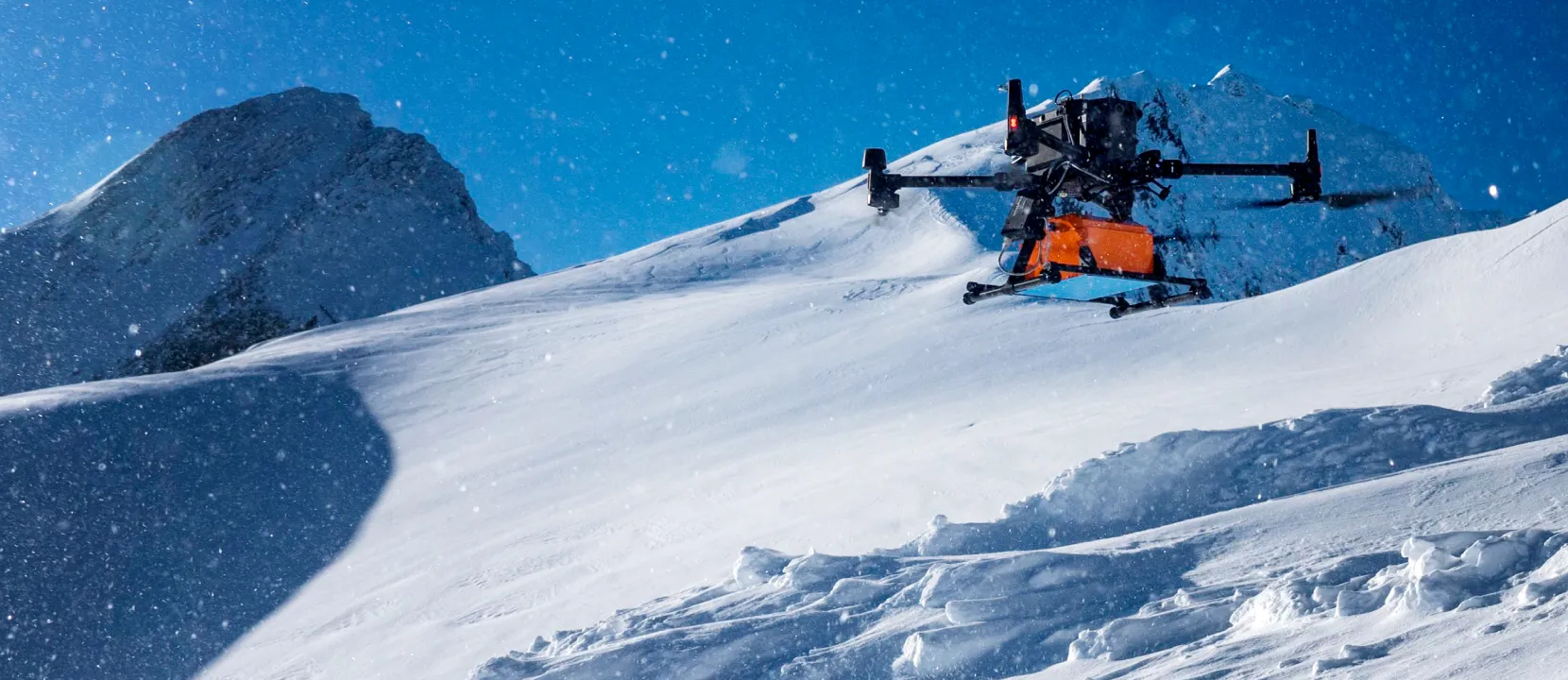
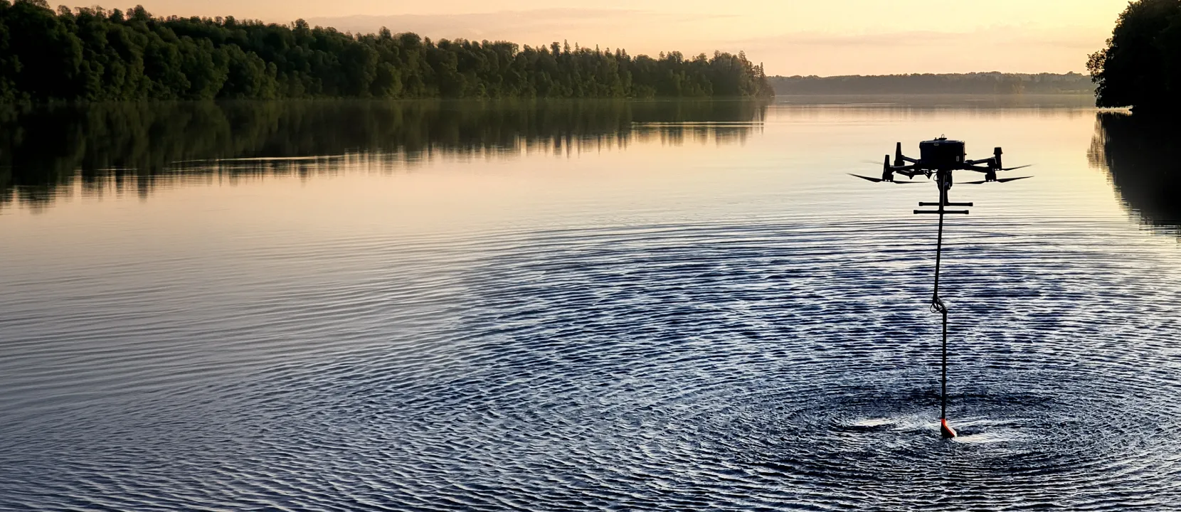
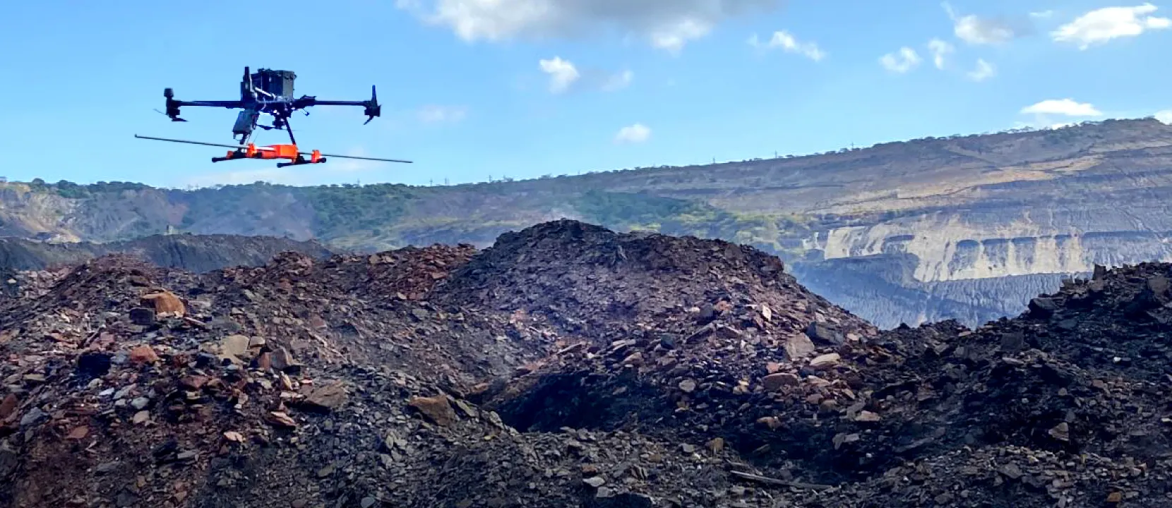
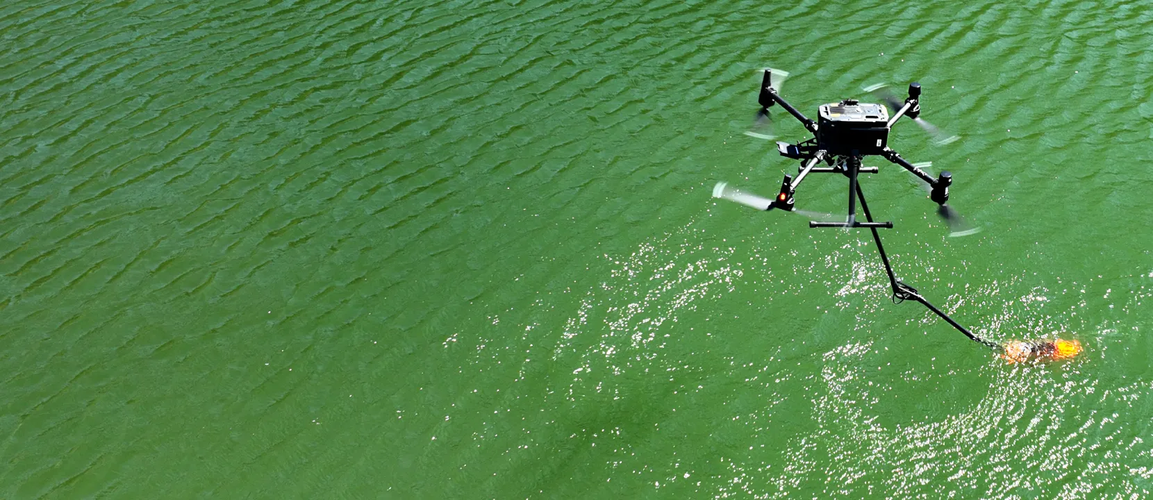
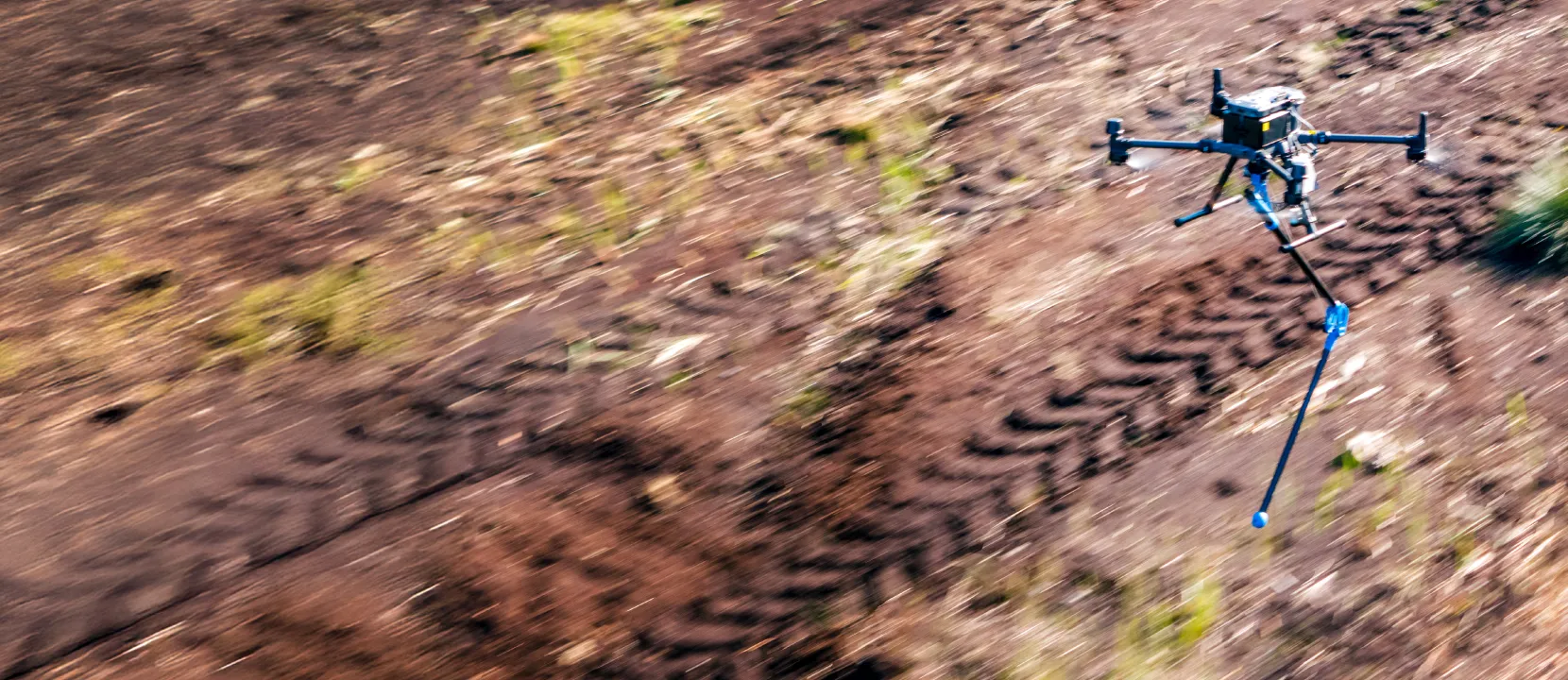
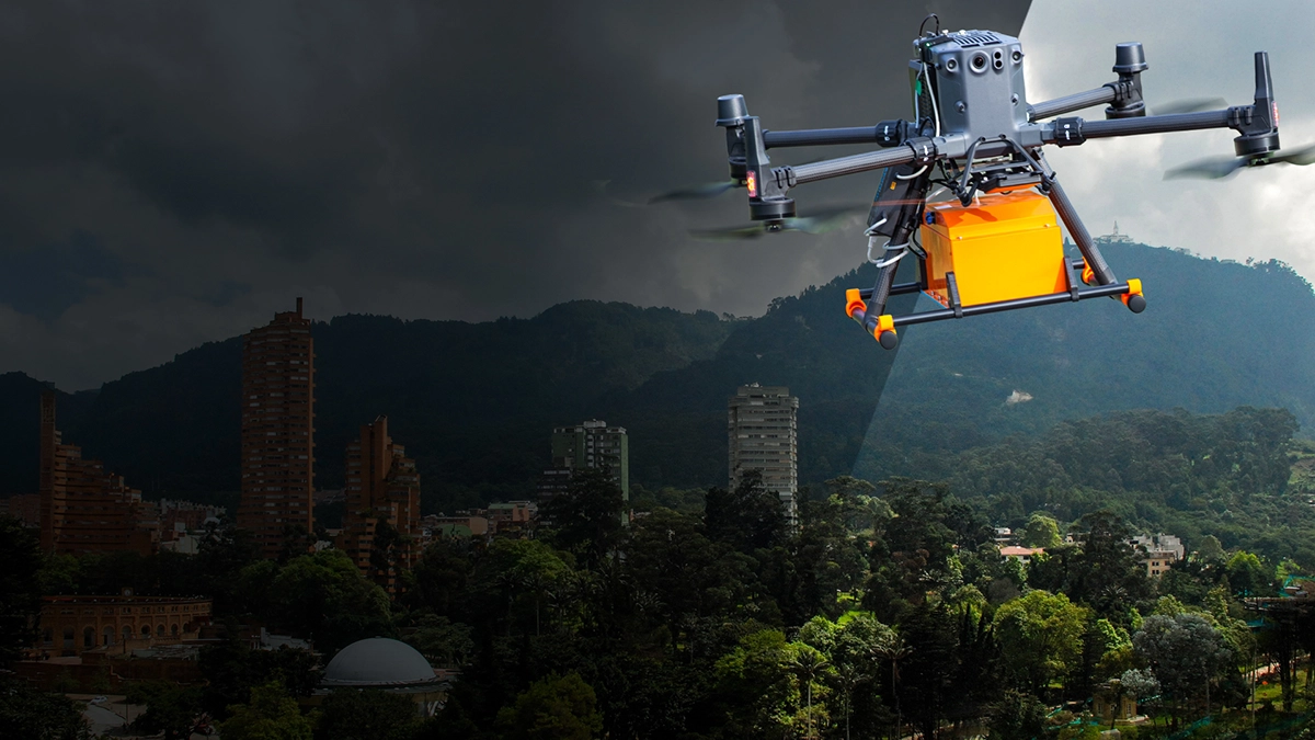
SkyHub turns your drone into a smart sensing platform, managing payloads with precision and reliability. It collects and georeferences data, ensuring seamless logging and real-time mission feedback. From near-surface geoscience to gas detection, SkyHub simplifies complex sensor operations for professional-grade airborne sensing.
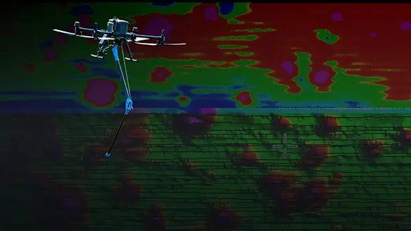
Transform raw data into actionable insights with GeoHammer, designed for quick assessment and pre-processing of GPR and magnetometry datasets. Combined with DroneGIS for intuitive visual inspections and geospatial analysis, you get a complete workflow from data collection to interpretation — making complex post-processing straightforward and efficient.
DroneGIS transforms your survey data into an interactive workspace that gets clients to decisions faster. It moves beyond just sharing files by creating a single source where every photo is tied to the map and all feedback is accessible. DroneGIS eliminates confusing email chains and allows you to deliver a professional, collaborative experience.
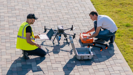
Our comprehensive training programs equip your team with the skills to independently operate systems and collect high-quality data. From flight operations to advanced techniques in magnetometry, bathymetry, geophysics, and emission detection, we provide the technical expertise you need to expand your capabilities and deliver professional results from day one.


%202.svg)
_black%201.svg)


.webp)
.webp)


.webp)


.webp)