
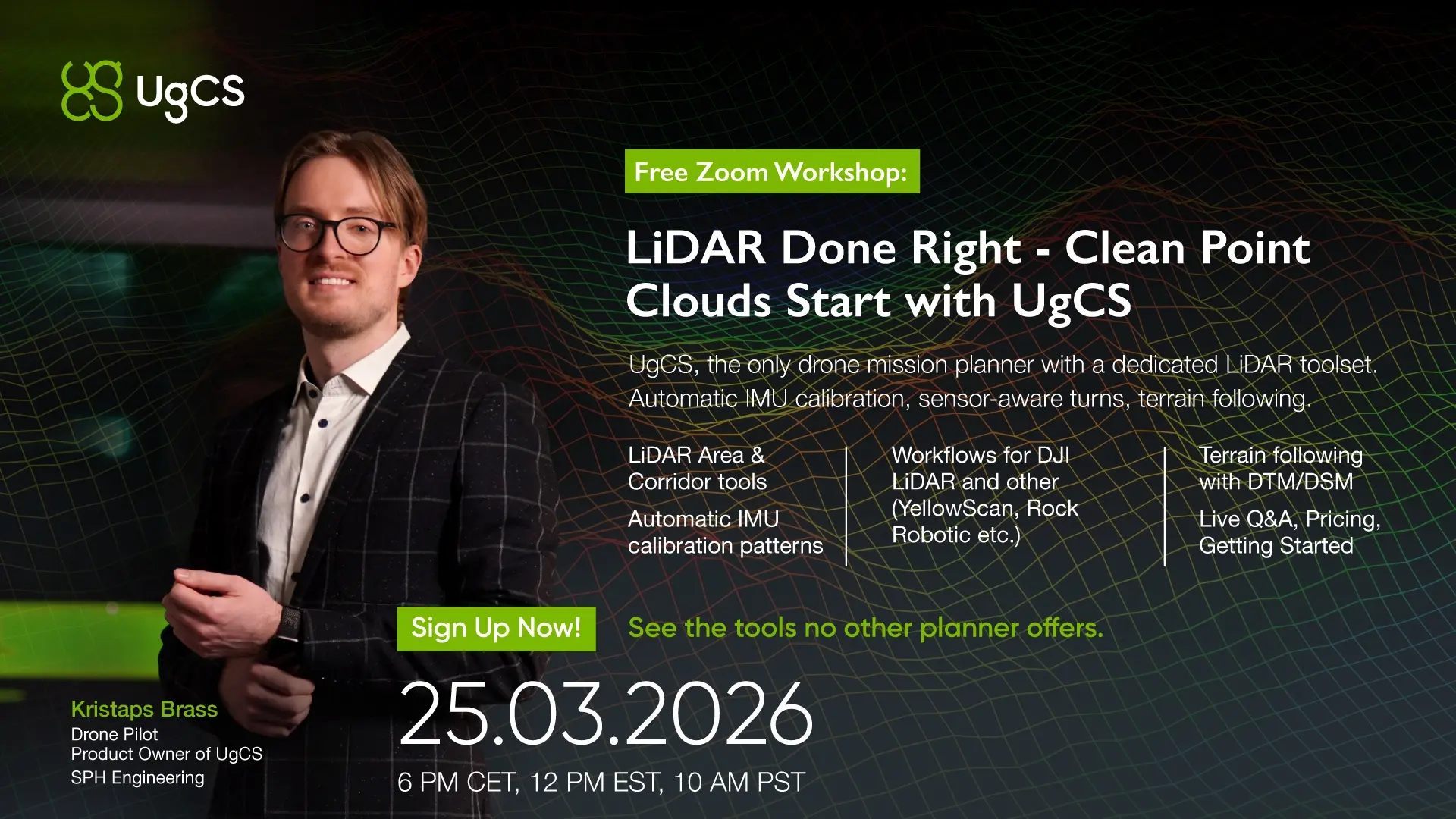
UgCS has a dedicated LiDAR toolset. Built for how LiDAR sensors actually work, not adapted from a photogrammetry planner.
We’ll show you the full workflow live. IMU calibration pattern generation, LiDAR Area and Corridor tools, terrain following with imported DTM/DSM down to 8m AGL, and how it works across DJI Zenmuse L2, YellowScan, Rock Robotic, and other third-party sensors. No slides. Actual mission planning on screen.
Why Join
- See IMU calibration automation that most planners don’t have at all
- Experience Smart AGL and what difference it makes
- See terrain following with DTM/DSM in practice
- Get answers on how UgCS fits your specific sensor and drone combination
- Ask pricing and licensing questions directly
Agenda
- LiDAR Area and Corridor scan tools
- Automatic IMU calibration pattern generation
- Terrain following with custom DTM/DSM import
- Workflows for DJI LiDAR and third-party sensors (YellowScan, Rock Robotic, and more)
- Q&A on pricing and getting started