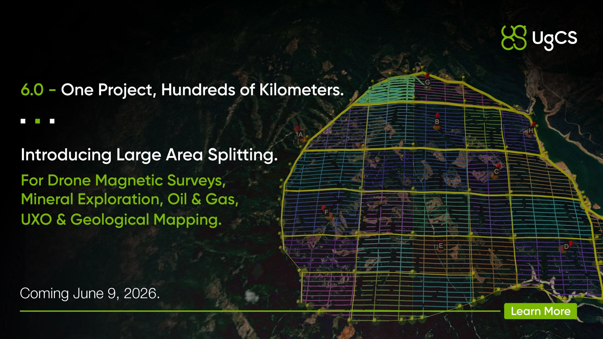
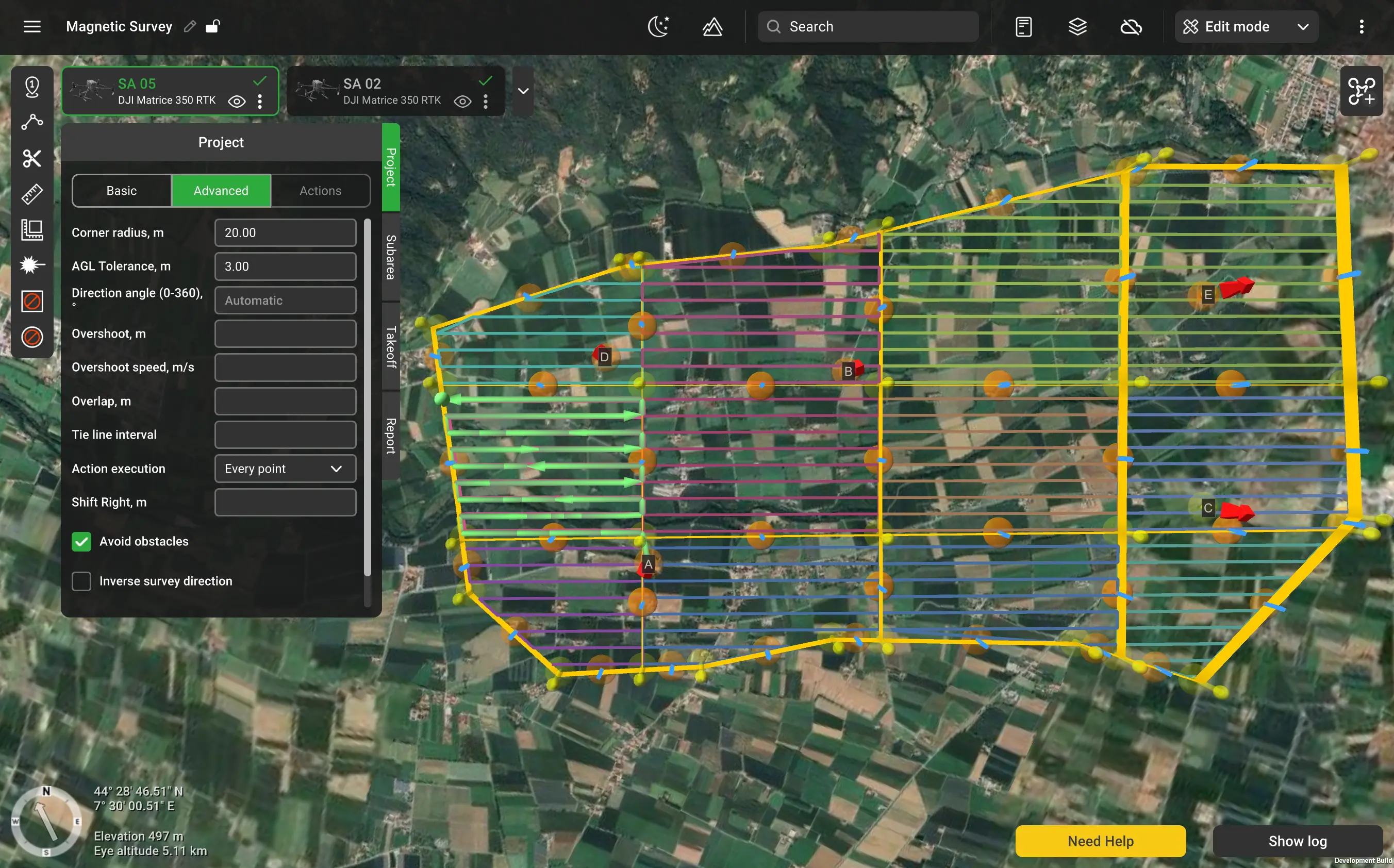
Large Area Splitting. You, the pilot, define one polygon, and UgCS splits it into flyable sub-areas with survey line spacing that remains consistent across all boundaries. The whole survey lives in one project, no matter how many flights it takes to cover.
A few of the headline changes:
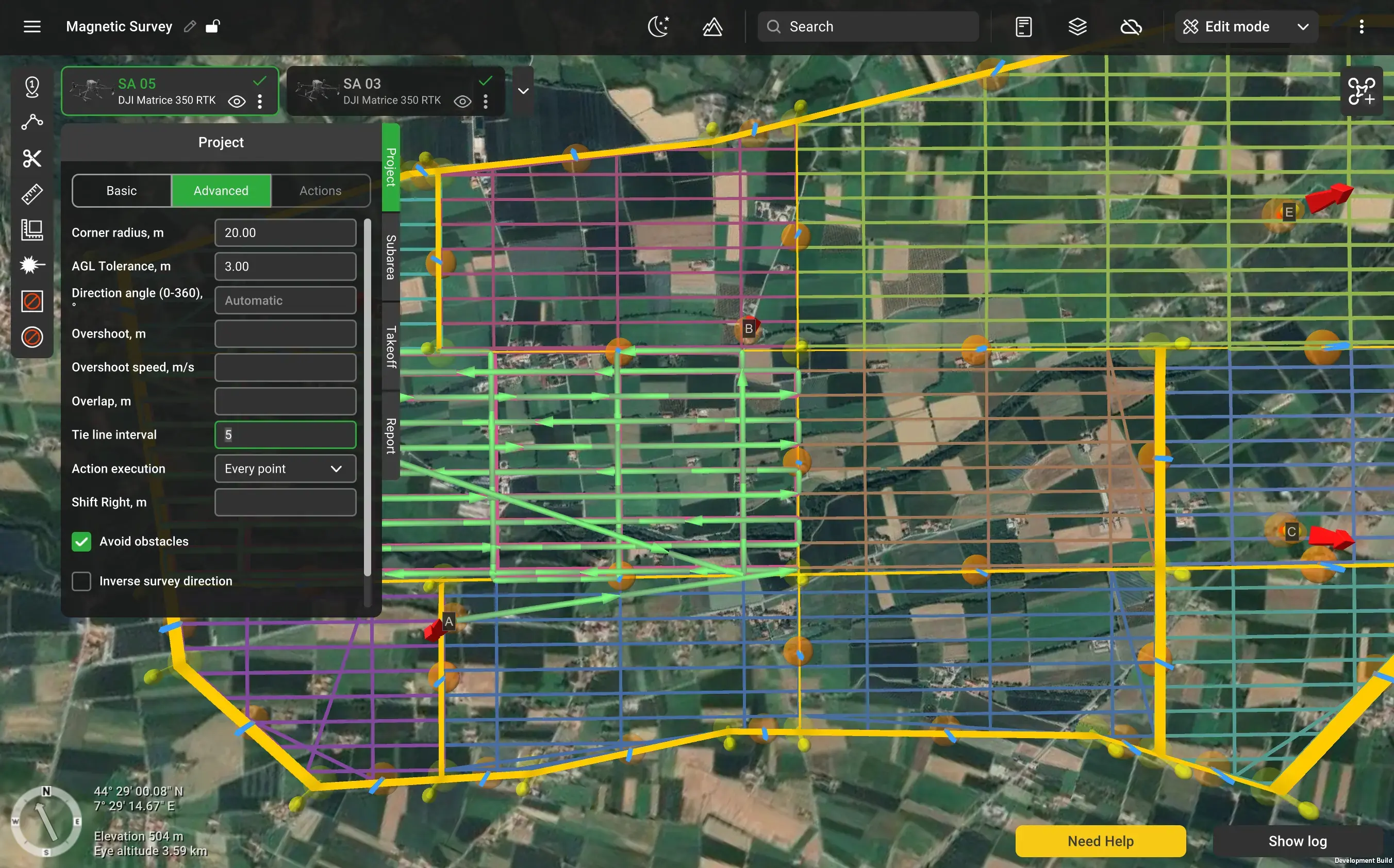
Tie lines become a project parameter: set the frequency once, and validation lines drop in across the entire survey.
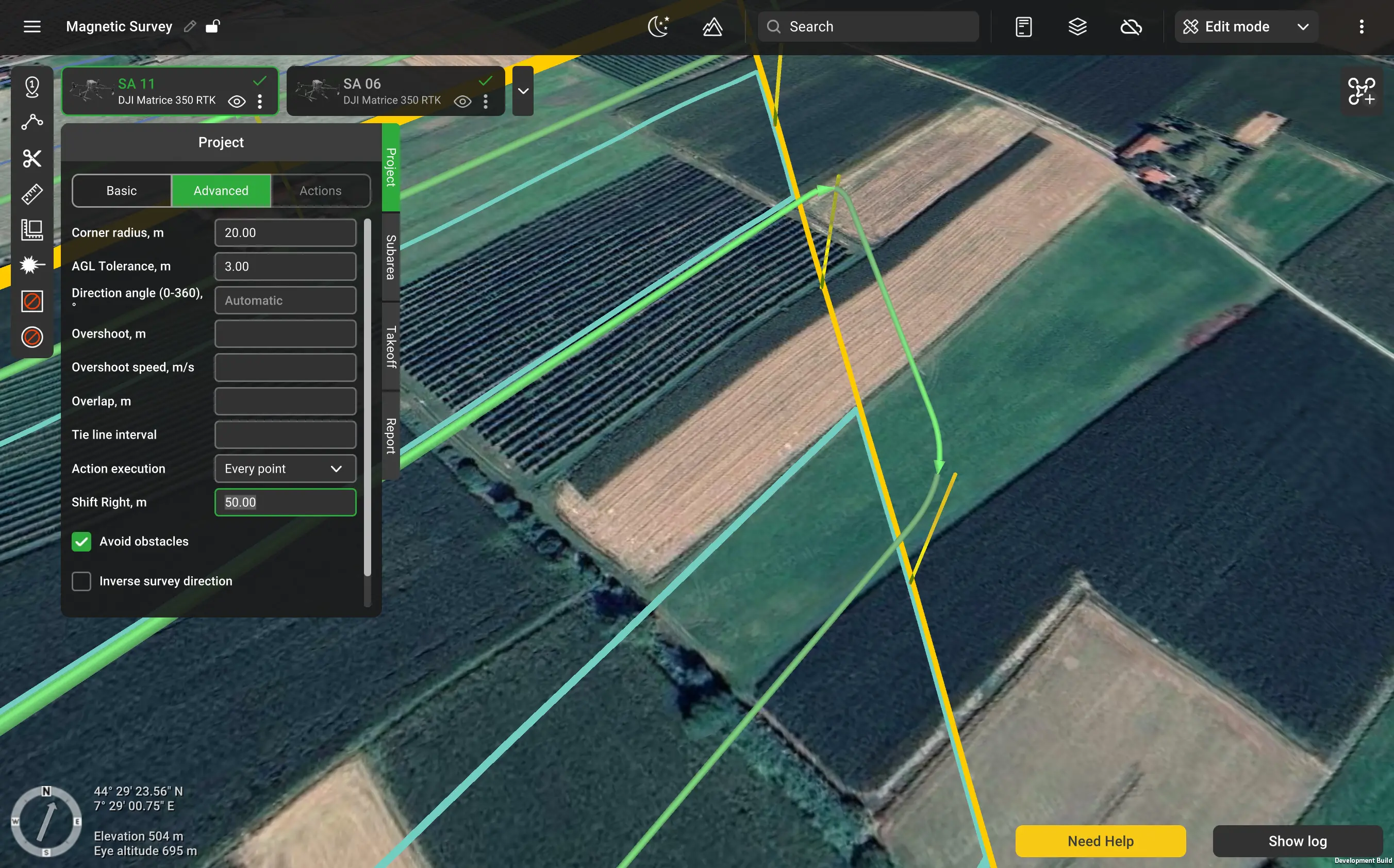
Shift Right matches today’s flight grid to a historical campaign. Import the old lines, set the offset, and the new survey aligns to the old one.
Smart AGL 2.0 updates terrain following to check safe distance to the sides of the drone, not just below and ahead of it.
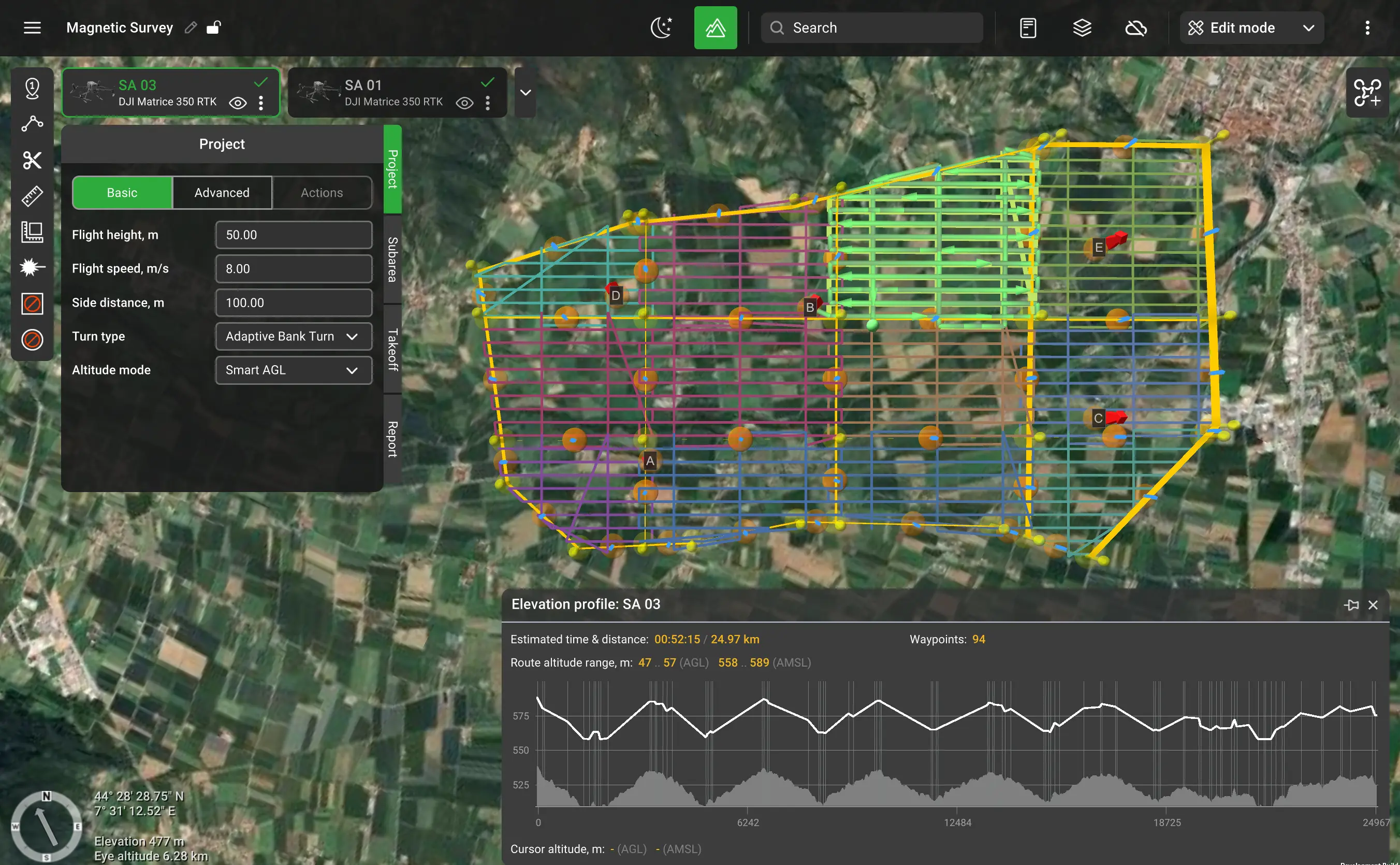
Large Area Splitting also applies to UXO clearance, oil and gas reconnaissance, and geological mapping, anywhere a survey is too big for a single flight.
The full walkthrough of every feature and a complete guide to planning a magnetic survey in UgCS go live at launch on June 9.
Large Projects are available in UgCS Expert and Enterprise. If your license is up for renewal, an upgrade, or expansion to cover the team, now is the time to get it ready.