
(based on Mitka B., Klapa P., Pióro P., “Acquisition and Processing Data from UAVs in the Process of Generating 3D Models for Solar Potential Analysis”, Remote Sensing 15 (2023) 1498)
- Equipment used: DJI Matrice 300 RTK carrying three sensors—Zenmuse L1 LiDAR, Zenmuse P1 RGB camera, Share PSDK102S oblique camera.
- Flight planning software: UgCS
A bit of background
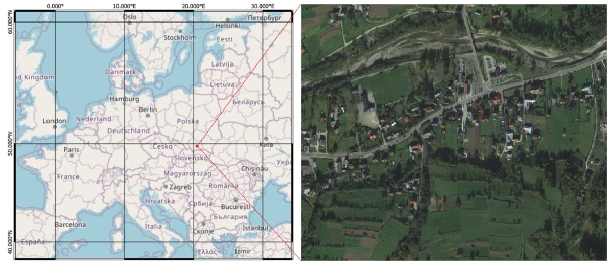
Ochotnica Dolna is a hill-side village in southern Poland. Local planners wanted an accurate 3-D model of buildings, trees, and ground to create a rooftop solar-potential map—an interactive digital tool that shows how much sunlight individual rooftops receive, helping residents understand the suitability of their roofs for solar panel installations. The solar-potential map would visualize solar irradiance, estimate potential energy production, assess financial savings, and highlight environmental benefits such as reduced carbon emissions. Due to the sharply rising and falling terrain of the village, precise flight-height control over the terrain was crucial not only to ensure good quality of collected data but also to minimize risks.
The challenge in plain words
The challenge was to fly precisely at 100 meters above ground level across 25 hectares of uneven terrain, capturing high-density lidar data along with high-quality photos—all within a single working day. Additionally, the data processing needed to remain manageable for a small research team. Manually drawing flight waypoints wasn’t practical, as it would have required hours of work and significantly increased the risk of altitude errors.
How the team used UgCS
Each grid flight took about 25 minutes; the oblique run needed 19 minutes, all flights were done on a separate battery set each.

Measured results
Business and community value
- Meets specs and rules: Flights stayed within Polish VLOS limits while hitting sub-decimetre accuracy targets.
- Saved field time: Professional flight pre-planning can cut an estimated 40 % of on-site hours.
- Reduces desktop load: Clean input data kept workstation processing to sensible times - even on very large photo sets.
- Eases adoption: One UgCS project covered all sensors, so operators with modest drone skills could repeat the survey without new training and switch sensors with ease.
- Informs households: Villagers now see roof-specific solar payback figures, helping them decide on whether it is worth investing in photovoltaic panels for their home.
Key Takeaways
- Let UgCS handle the height. Import a good DEM first, UgCS will automatically calculate the flight path to follow the terrain at a set altitude.
- Bundle missions. Keep lidar, nadir and oblique flights in a single project file to share parameters and save time.
- Keep easy track of your flight parameters. Overlap, speed and AGL values become hard evidence when you explain data quality to clients.
- Focus on outcomes, not just data. The real win is a live solar map that steers local clean-energy decisions, not the point cloud itself.
With UgCS terrain-tracking the research team turned steep hills into flat-flight simplicity - delivering dense data, fast processing and a clear path to greener rooftops.