Upgrade Your Mining Drone Operations. More Control, More Precision, More Compatibility for Precise Data Collection
Transform your mining operations with drone solutions. UgCS offers advanced terrain following, multi-drone control, and offline mission planning-ideal for the mining industry, even in remote mining environments.
Faster, safer, and more cost-effective mining applications for exploration, mapping, surveying, and environmental monitoring.

Why UgCS?

Save Time by Preplanning Flights

UgCS is a powerful desktop mission planning tool. Preplan drone flights in mining quarries, import KML boundaries and automate your flight plans. Deploy within your local network and share routes. Reduce labor costs, increase efficiency, and gather real-time data faster.

Collect Better Data with Terrain Following over Rugged Mining Landscapes

UgCS excels in planning drone missions over complex terrain. Choose between multiple terrain algorithms (AGL, Smart AGL, AMSL). Adjust resolution, slope angles, and skip gaps to optimize battery usage. Achieve accurate measurements and gather higher-quality real-time data.

Stop Flying with Outdated Maps

Mining environments constantly change. Import your own digital elevation models (DEM) and up-to-date maps into UgCS. Add KML outlines, create custom no-fly zones, and place markers to share crucial data with your team. UgCS works fully offline, ensuring data security and accuracy.

Standardize Flight Planning – Use Almost Any Drone and any Sensor

Many drone solutions limit you to specific hardware. UgCS supports diverse drone fleets, including DJI, Ardupilot, Autel, and more. Easily transform flight plans between drone/sensor combinations. Standardize operational efficiency across your entire mining process.

Supported Drones & Sensors

More Options, More Flexibility

Supported Drones
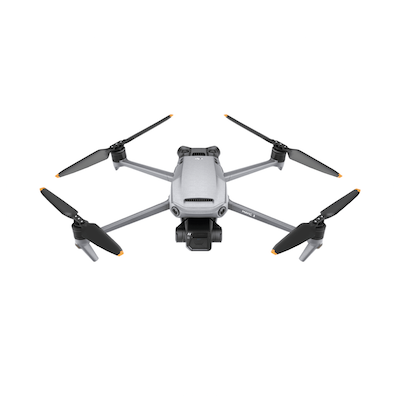
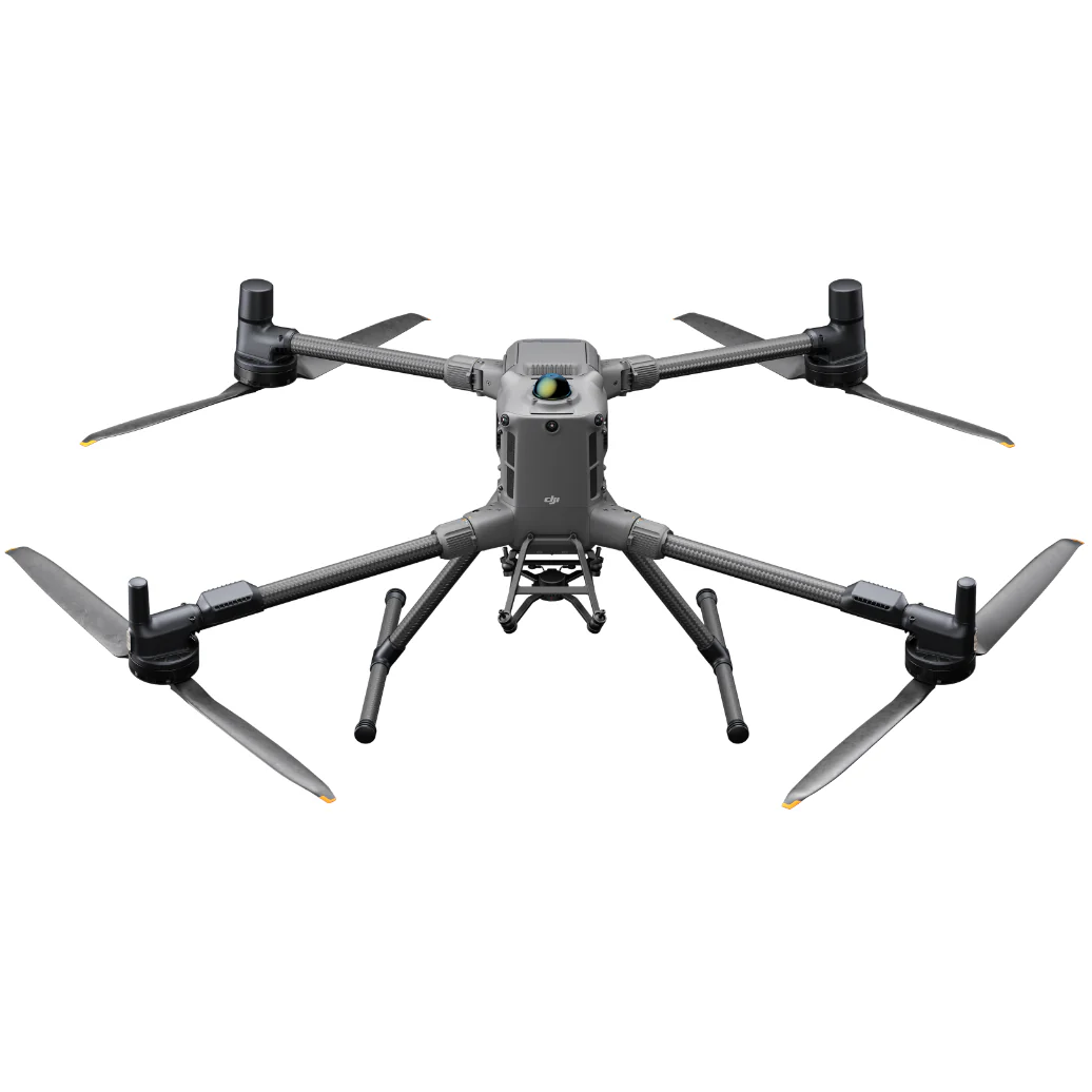
DJI M300, M350, M3E, M4E (DJI and other platforms)
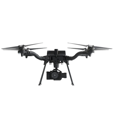
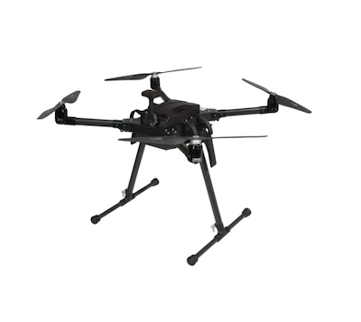
Inspired Flight, Freefly, Autel, Acecore, and more.
Compatible Advanced Sensors
Magnetometers (MagArrow, Sensys MagDrone)
LiDAR Sensors
Ground Penetrating Radar (GPR)
Echo Sounders for bathymetric surveys

Customer Success Stories

Mining Companies Using UgCS

Get a Demo

Frequently Asked Questions

Your Questions About Mining Drone Solutions

What is a drone mining survey?
A drone mining survey uses UAVs equipped with advanced sensors like high-resolution cameras, LiDAR, or magnetometers. They produce accurate 3D models and digital elevation models, aiding operational efficiency.
Why Drones are Becoming the New Industry Standard?
Drones offer operational cost savings, improved safety by eliminating hazardous conditions, and provide accurate, real-time data.
How Drones Impact Mining?
Drones enhance safety, reduce labor costs, optimize inventory management, and improve operational efficiency with precise data collection.
How do UAVs help in mineral exploration?
UAVs gather real-time data using advanced sensors to map magnetic fields, terrain, and geology, enabling safer and faster exploration.
How UAV Mining Improves Stockpile Management?
UAVs create accurate measurements of stockpiles through high-resolution 3D models, improving inventory management and reducing blind spots.
How Does UAV Mining Enhance Exploration?
Drones quickly generate accurate site models and maps, streamline mining exploration, and ensure efficient mining operations by identifying new resources and assessing site conditions.
Make the Switch Today

Stop being limited by your current drone solutions.
Get full control of your mining drone operations.
Fly smarter, faster, and safer with UgCS.