
Quick Facts:
- Company: Ileron - Italian UAV surveying and geomatics firm
- Challenge: Limited automated mission planning with off-the-shelf drones
- Solution: UgCS flight planning software + SkyHub onboard computer
- Key Result: 54,000 images captured over 20 days for Palazzo Pitti 3D reconstruction
- Applications: Cultural heritage documentation, infrastructure inspection, environmental monitoring
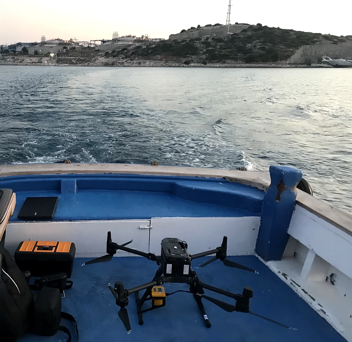
About Ileron: Italian UAV Surveying and Geomatics Services Provider
Founded in 2015 by Filippo Fiaschi, Ileron was established with the mission to support companies and institutional organizations through remote sensing using Unmanned Aerial Systems (UAS). Based in Tuscany, the company offers a full spectrum of geomatic and aerial data solutions, from flight operations to data processing and regulatory consultancy.
Over the years, Ileron has built a strong reputation as a trusted partner for engineering firms, research institutions, defense organizations, and public administrations, offering:
- Metric and quantitative surveys in visible and infrared radiation
- Photogrammetry, thermal, and multispectral mapping
- External UAS project management and consulting
Combining technical precision with strategic insight, Ileron bridges the gap between drone-based data collection and actionable geospatial intelligence for complex field missions.
Business Challenge: Scaling UAV Survey Precision and Efficiency
As demand for more complex and precise aerial missions grew, Ileron sought to elevate both the efficiency and reliability of its operations. Traditional off-the-shelf UAVs have limited automated mission planning flexibility, especially for projects requiring high-accuracy flight planning and consistent data quality.
The company aimed to address several key challenges:
- Improve operational efficiency and data precision in demanding flight conditions
- Expand service offerings into niche, high-value applications
- Anticipate market needs and maintain technological leadership in the UAS sector
To maintain a competitive edge, Ileron focused on expanding its service portfolio and pioneering innovative aerial solutions that would set new standards in the Italian geomatics market.
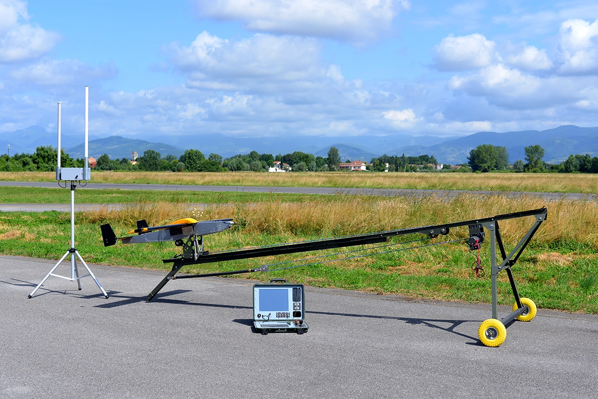
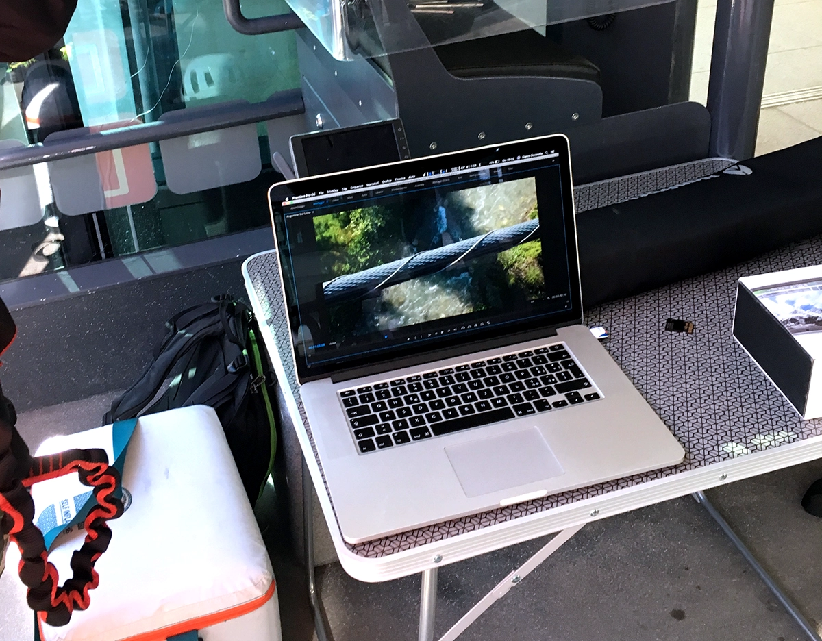
The Solution: UgCS Mission Planning Software and SkyHub Onboard Computer
The collaboration with SPH Engineering began through the adoption of UgCS mission planning software and the SkyHub onboard computer, both instrumental in transforming DJI drones into precision remote-sensing tools.
Working directly with SPH Engineering’s CEO, Alexey Dobrovolskiy, during a technical session in Tuscany, the team experienced first-hand SPH’s pragmatic, hands-on approach. The partnership evolved into a strategic reseller relationship, granting Ileron access to exclusive technical resources, continuous updates, and responsive 24/7 support.
“SPH Engineering empowered us to professionally integrate and manage our clients’ DJI drones, transforming them from off-the-shelf products into precision tools capable of advanced operations.”
— Filippo Fiaschi, Founder at Ileron
SPH Engineering’s support extended beyond software, offering real-time assistance during field operations. On one occasion, a configuration issue with SkyHub was resolved through a remote debugging session within 30 minutes, leading to the mission’s success abroad.
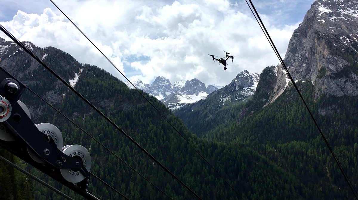
Results: Advanced UAV Photogrammetry for Cultural Heritage Documentation
The collaboration produced immediate, measurable benefits. Ileron expanded into new market segments, particularly in the field of cultural heritage documentation.
A landmark achievement came in 2020, when Ileron was commissioned by the University of Florence to perform UAS data acquisition for the 3D digital reconstruction of Palazzo Pitti, one of the largest aerial surveys ever conducted on a historical building. Leveraging UgCS’s Vertical Scan feature, Ileron optimized flight efficiency and standardized image quality, completing over 54,000 images in 20 days.

Key outcomes of the collaboration include:
- Successful delivery of one of the world’s largest 3D architectural surveys
- Optimized flight times and consistent image quality through UgCS advanced features
- Expansion into prestigious cultural heritage and research projects
- Enhanced technical reputation and client trust through reliable, data-driven performance
“UgCS’s advanced planning capabilities allowed us to carry out one of the most complex heritage mapping missions ever attempted, with remarkable precision and reliability.”
— Filippo Fiaschi, Founder at Ileron
Future Outlook: Building the Next Decade
Building on a decade of innovation, Ileron continues to expand its portfolio of UAV-based geomatic services, with a growing focus on research collaborations and advanced UAS integrations. Together with SPH Engineering, the company plans to explore emerging sensing technologies and further strengthen its leadership in specialized aerial mapping across Europe.