This is the story of how UgCS helped them finally get their mission off the ground and keep it there.
Wrestling with a Digital Hydra
Before UgCS, planning a mission was a headache. The team had to use three different pieces of software to create, refine, and load a single flight route. It was slow at the office and a non-starter in the field.
"When a change was needed, it had to be processed through all three programs and took a lot of time," the WSAS team explains. "This was almost impossible in the field, especially with no phone service." This fragile process created several huge problems:
- It was an inefficient and fragmented workflow, wasting precious time.
- It was completely inflexible, preventing critical, on-the-spot adjustments.
- It offered no way to coordinate multiple drone teams to ensure safety.
One Platform, Total Control
Everything changed when they found UgCS. The three-program nightmare was replaced by a single, reliable platform. "Everything we needed was in a single program and we still use it today, over six years later," they share.
The difference was immediate. The team could now plan and execute complex missions with a confidence they never had before. A few key features made all the difference:
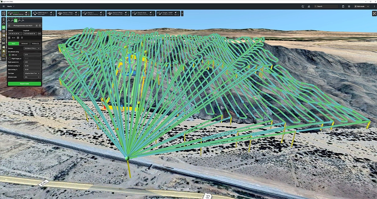
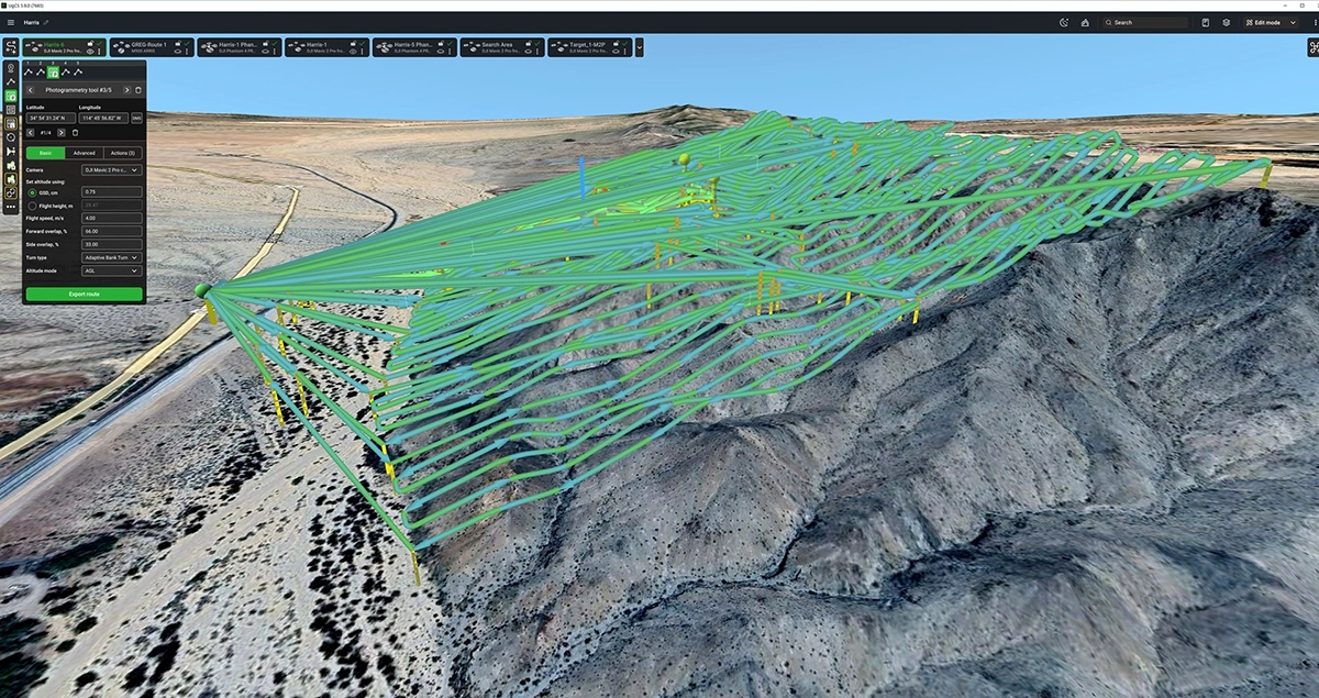
- Terrain Following: They could import detailed terrain models, letting their drones automatically hug the rise and fall of the land to capture perfectly consistent images.
- Multi-Drone Control: A single pilot could watch multiple drones on one screen, coordinating their paths and getting warnings if they got too close.
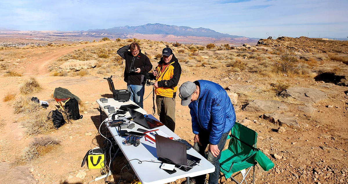
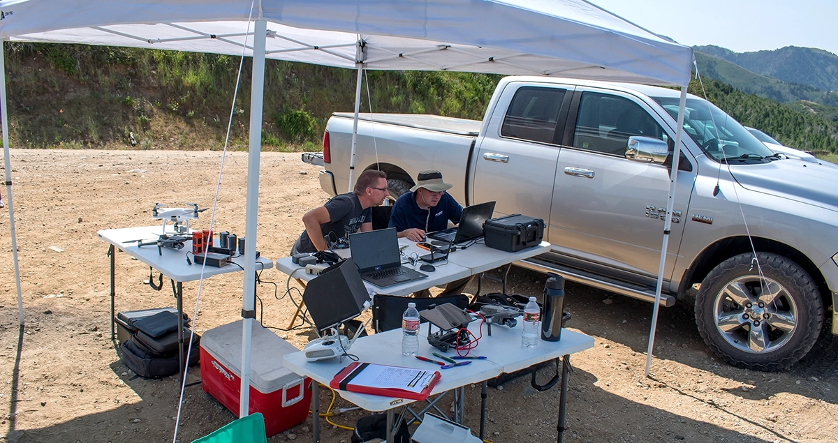
- Offline Capability: They could build plans at home and run them flawlessly in remote areas with no internet, making changes whenever they needed to.
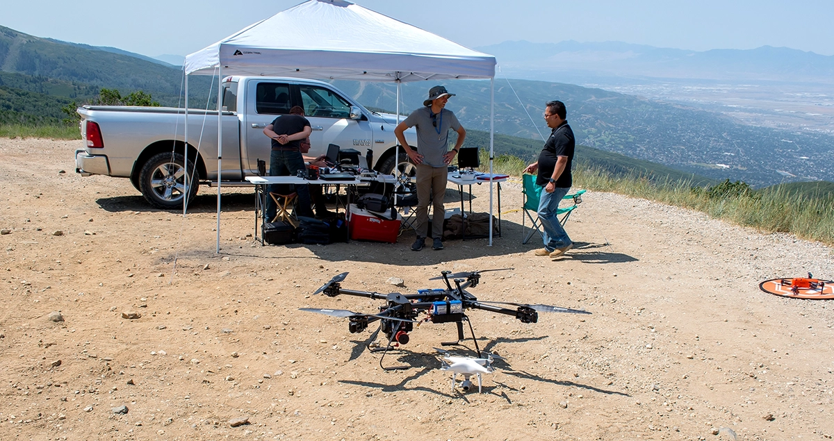
Mission Brief: Three Drones, One Goal in the California Desert
The real proof came during a search in the rugged desert of southern California. The team deployed three DJI Mavic 2 Pro drones, all linked and coordinated within the UgCS interface. On one screen, the mission leader could see exactly where all three aircraft were, ensuring they covered the entire search area without gaps or collisions.
Each drone flew a precise 100 feet above the ground. This perfect altitude, maintained by the terrain-following feature, delivered images with a stunning 0.75 cm/pixel resolution. That's clear enough for an analyst to spot the difference between a rock and a backpack.
Here’s what they were able to accomplish:
- Outcome: The team successfully located the missing person, bringing critical closure to their family.
- Deployment Speed: Once on-site, the team got drones in the air in under 10 minutes.
- Mission Scale: Over two days, they flew 26 flights and captured over 7,000 images.
- Teamwork: They safely coordinated 3 pilots at the same time, tripling their search coverage.
For a volunteer team where results are everything, these facts showed their new system worked. In their own words, "Without UgCS, Western States Aerial Search would not have continued on to where it is today."
We'll let them have the last word, as it gets to the heart of why they do what they do.
"We are forever grateful for the UgCS software that allows us to help locate those that are missing and bring closure to their families. This is why we're sharing our story, because sometimes the most powerful technology is the kind that helps bring families peace."